
Chiapas is a state in Southwest Mexico. According to the 2020 Mexican census, it has the eighth largest population of all states with 5,543,828 inhabitants and the 10th largest by land area spanning 73,560.47 square kilometres (28,401.86 sq mi). Chiapas is officially divided into 124 municipalities, although the establishment of municipal authorities in Belisario Domínguez was suspended in 2015 pending the resolution of a territorial dispute between Chiapas and the neighbouring state of Oaxaca. In 2021, the Mexican Supreme Court resolved this dispute in Oaxaca's favour, and annulled the 2011 decree that had created Belisario Domínguez.

Juchitán de Zaragoza is an indigenous town in the southeast of the Mexican state of Oaxaca. It is part of the Juchitán District in the west of the Istmo de Tehuantepec region. With a 2020 census population of 88,280, it is the third-largest city in the state. The majority of the indigenous inhabitants are Zapotecs and Huaves. The town also serves as the municipal seat for the surrounding municipality, with which it shares a name. The municipality has an area of 414.64 km2 and a population of 113,570, the state's third-largest in population.

Zitácuaro, officially known as Heroica Zitácuaro, is a city in the Mexican state of Michoacán. The city is the administrative centre for the surrounding municipality of the same name, which lies at the extreme eastern side of Michoacán and borders on the adjacent state of México. The city reported a population of 185,534 in the 2010 census. The municipality has an area of 498 km2. The name Zitácuaro comes from Mazahua Tsitákuarhu.
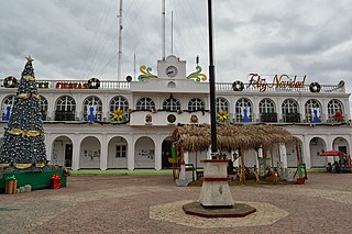
Ocosingo is a city and its surrounding municipality of the same name in the Mexican state of Chiapas.

Chilón is a town and municipality in the Mexican state of Chiapas in southern Mexico. It covers an area of 2490 km2.
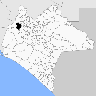
Tecpatán is a town and municipality in the Mexican state of Chiapas in southern Mexico.
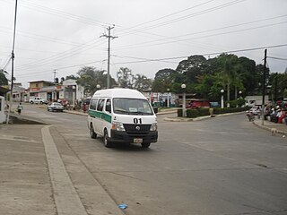
Juárez is a town and municipality in the Mexican state of Chiapas in southern Mexico.
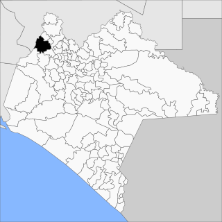
Ostuacán is a town and municipality in the Mexican state of Chiapas in southern Mexico.

San Andrés Duraznal is a town and municipality in the Mexican state of Chiapas in southern Mexico.

Pantelhó is a town and municipality in the Mexican state of Chiapas in southern Mexico.

Sabanilla is a town and municipality in the Mexican state of Chiapas in southern Mexico.

Pueblo Nuevo Solistahuacán is a town and municipality in the Mexican state of Chiapas in southern Mexico.
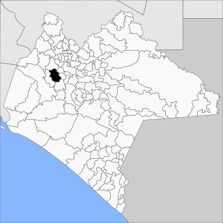
San Fernando is a town and municipality in the Mexican state of Chiapas in southern Mexico.

San Lucas is a town and municipality in the Mexican state of Chiapas in southern Mexico.
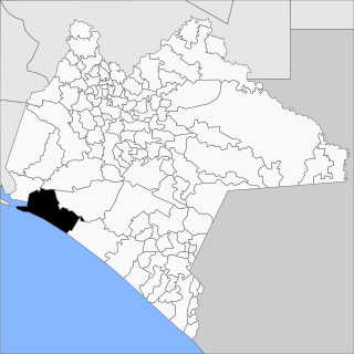
Tonalá is a municipality in the state of Chiapas in southern Mexico.

Temósachic is one of the 67 municipalities of Chihuahua, in northern Mexico. The municipal seat lies at Temósachic. The municipality covers an area of 5,361.9 km².

Coyuca de Catalán is a municipality in the Mexican state of Guerrero. The municipal seat lies at Coyuca de Catalán. The municipality covers an area of 921.9 km2.
San Juan Copala is a town in the municipality of Santiago Juxtlahuaca in the Mexican state of Oaxaca. It is located at 17°11′14″N97°57′46″W, at an altitude of 1578 meters above sea level. According to the 2005 census, carried out by the Instituto Nacional de Estadística y Geografía, San Juan Copala has a total of 786 inhabitants.

Honduras de la Sierra is a municipality in the Mexican state of Chiapas, located approximately 150 kilometres (93 mi) southeast of the state capital of Tuxtla Gutiérrez. Gazetted in 2019, it is the newest municipality in Chiapas.
Rincón Chamula San Pedro is a municipality in the Mexican state of Chiapas, located approximately 54 kilometres (34 mi) north of the state capital of Tuxtla Gutiérrez. Unlike the mestizo population of the surrounding towns, its population is mostly indigenous Tzotzil.


