Comitán is the fourth-largest city in the Mexican state of Chiapas. It is the seat of government of the municipality of the same name.
Tapachula de Córdova y Ordóñez, simply known as Tapachula, is a city and municipality located in the far southeast of the state of Chiapas in Mexico, near the Guatemalan border and the Pacific Ocean. It is one of the most important cities of Chiapas economically as the capital of the agriculturally rich Soconusco region as well as port for trade between Mexico and Central America. The area was originally inhabited by the Mam as a region under the control of the Mam state of Xelaju but was first established as a city by the Aztecs in the 13th century. Most of its economic importance has come since the late 19th century with the establishment of coffee plantations. This agricultural production began a history of migration into the area which continues to this day and has left the city with a significant Asian and German cultural presence as well as large Mayan and Nahua indigenous populations.

Chiapa de Corzo is a small city and municipality situated in the west-central part of the Mexican state of Chiapas. Located in the Grijalva River valley of the Chiapas highlands, Chiapa de Corzo lies some 15 km (9.3 mi) to the east of the state capital, Tuxtla Gutiérrez. Chiapa has been occupied since at least 1400 BCE, with a major archeological site which reached its height between 700 BCE and 200 CE. It is important because the earliest inscribed date, the earliest form of hieroglyphic writing and the earliest Mesoamerican tomb burial have all been found here. Chiapa is also the site of the first Spanish settlement founded in Chiapas in 1528

Ocosingo is a city and its surrounding municipality (municipio) of the same name in the Mexican state of Chiapas.

Ocozocoautla de Espinosa, colloquially Coita, is a town and municipality in the Mexican state of Chiapas. It is located in the western part of the state, 24 km west of Tuxtla Gutierrez covering parts of the Depresión Central and the Montañas del Norte. It is bordered to the north by Tecpatán, to the east by Berriozábal, Tuxtla Gutiérrez and Suchiapa, to the south by Villaflores and to the west by Jiquipilas and Cintalapa. The name comes from the Nahoa language and means ‘forest of ocozote trees’. ‘De Espinosa’ was added in 1928 to honor Raymundo Enríquez Espinosa who was the first governor of the state of Chiapas. Ocozocoautla gained city status in 1926. The climate is warm and humid and the vegetation is mostly high and medium rainforest.
Frontera Comalapa is a town and one of the 119 municipalities of Chiapas, in southern Mexico. It covers an area of 717.90 km².

Ixtapangajoya is a town and one of the 119 municipalities of Chiapas, in southern Mexico.
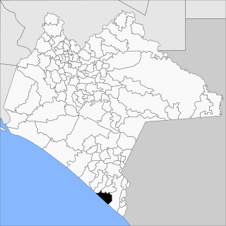
Juárez is a town and one of the 119 municipalities of Chiapas, in southern Mexico.
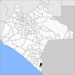
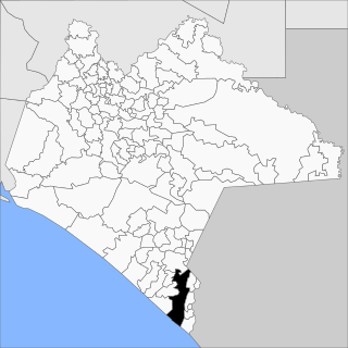
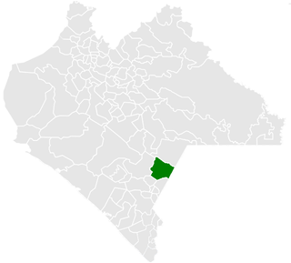
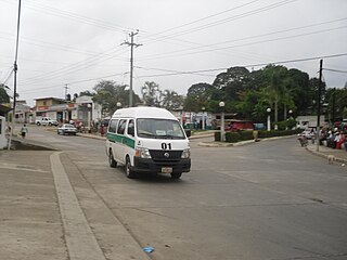
Villa Mazatán (Spanish pronunciation: [ˈβiʝa masaˈtan] is one of the 122 municipalities in the state of Chiapas. It has an area of 386.6 km ² and is located in the southwestern Mexican state.

Nicolás Ruíz is a town and one of the 119 municipalities of Chiapas, in southern Mexico.

Sabanilla is a town and one of the 119 Municipalities of Chiapas, in southern Mexico.

Pueblo Nuevo Solistahuacán is a town and one of the 125 municipalities of Chiapas in southern Mexico.

Santiago el Pinar is a town and one of the 119 Municipalities of Chiapas, in southern Mexico.

Siltepec is a town and one of the 125 municipalities of Chiapas in southern Mexico.

Tila is a town and one of the 119 municipalities of Chiapas, in southern Mexico.

Tzimol is a town and one of the 119 Municipalities of Chiapas, in southern Mexico.

Palenque is a city and municipality located in the north of the state of Chiapas, Mexico. The city was named almost 200 years before the nearby Mayan ruins were discovered in the 18th century. The area has a significant indigenous population, mostly of the Ch'ol people, a Mayan descendant. The city is the only urban area in a municipality of over 600 communities, and is surrounded by rainforest. Deforestation has had dramatic effects on the local environment, with howler monkeys occasionally seen in the city as they seek food. While most of the municipality's population is economically marginalized, working in agriculture, the Palenque archeological site is one of the most important tourist attractions for the area and the state of Chiapas. It is the poorest major city in the state of Chiapas.

Capitán Luis Ángel Vidal is a municipality in the Mexican state of Chiapas, located approximately 138 kilometres (86 mi) southeast of the state capital of Tuxtla Gutiérrez. Its inhabitants are of Guatemalan origin and speak the Mam language.
Rincón Chamula San Pedro is a municipality in the Mexican state of Chiapas, located approximately 54 kilometres (34 mi) north of the state capital of Tuxtla Gutiérrez. Unlike the mestizo population of the surrounding towns, its population is mostly indigenous Tzotzil.
El Parral is a municipality in the Mexican state of Chiapas, located approximately 45 kilometres (28 mi) south of the state capital of Tuxtla Gutiérrez.