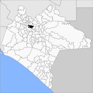
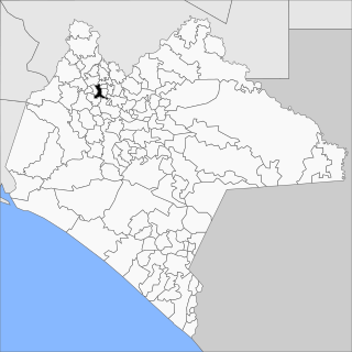
Bochil is a city and municipality in the Mexican state of Chiapas, in southern Mexico. It covers an area of 372.7 km². Bochil serves as the head town for the Second Federal Electoral District of Chiapas.

Huixtla is a town and municipality in the Mexican state of Chiapas in southern Mexico.

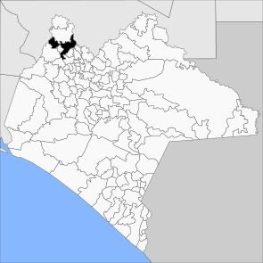
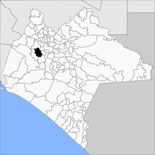
Ixtapa Municipality is a municipality in the Mexican state of Chiapas in southern Mexico.

Ixtapangajoya is a town and municipality in the Mexican state of Chiapas in southern Mexico.
Tecpatán is a town and municipality in the Mexican state of Chiapas in southern Mexico.

Socoltenango is a town and municipality in the Mexican state of Chiapas in southern Mexico.
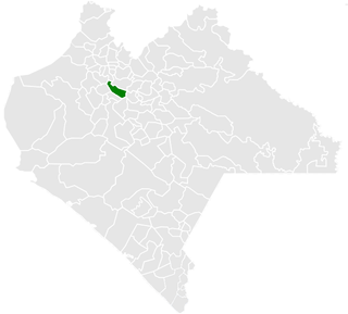
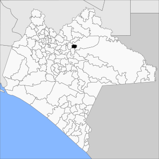
Jitotol is a town and municipality in the Mexican state of Chiapas in southern Mexico.

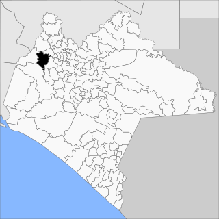
La Libertad is a town and municipality in the Mexican state of Chiapas in southern Mexico.

Mitontic is a town and municipality in the Mexican state of Chiapas in southern Mexico.

Ocotepec is a town and municipality in the Mexican state of Chiapas in southern Mexico.

Osumacinta is a town and municipality in the Mexican state of Chiapas in southern Mexico.
Pantepec is a town and municipality in the Mexican state of Chiapas in southern Mexico. The Chiapas Zoque language is spoken in this municipality.

Sabanilla is a town and municipality in the Mexican state of Chiapas in southern Mexico.

Pueblo Nuevo Solistahuacán is a town and municipality in the Mexican state of Chiapas in southern Mexico.

Santiago el Pinar is a town and municipality in the Mexican state of Chiapas in southern Mexico.

Reforma is a city and municipality in the Mexican state of Chiapas in southern Mexico.
San Fernando is a town and municipality in the Mexican state of Chiapas in southern Mexico.

San Lucas is a town and municipality in the Mexican state of Chiapas in southern Mexico.

Siltepec is a town and municipality in the Mexican state of Chiapas in southern Mexico.
Sitalá is a town and municipality in the Mexican state of Chiapas in southern Mexico. It is, lamentably, one of the poorest municipalities of Chiapas and Mexico.