
Upper Hutt is a city in the Wellington Region of the North Island of New Zealand, and one of the four cities that constitute the Wellington metropolitan area.

Podocarpus totara is a species of podocarp tree endemic to New Zealand. It grows throughout the North Island and northeastern South Island in lowland, montane and lower subalpine forest at elevations of up to 600 m.

Dannevirke, is a rural service town in the Manawatū-Whanganui region of the North Island, New Zealand. It is the major town of the administrative of the Tararua District, the easternmost of the districts of which the Horizons Regional Council has responsibilities.

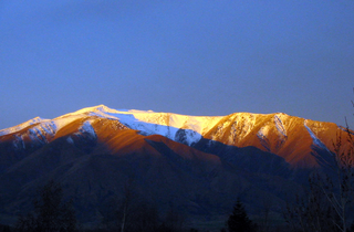
The Hutt River flows through the southern North Island of New Zealand. It flows south-west from the southern Tararua Range for 56 kilometres (35 mi), forming a number of fertile floodplains, including Kaitoke, central Upper Hutt and Lower Hutt.

Ngātīmoti is a town near Motueka in New Zealand's South Island.

Tōtara Park is a suburb of Upper Hutt, New Zealand, located 2 km northeast of the city centre. It is accessed via the Tōtara Park Bridge which crosses the Hutt River, connecting it to State Highway 2 and the main Upper Hutt urban area. It was popular in the 1970s and 1980s for families moving into the Upper Hutt area.
Benmore Peak is the highest point of the Benmore Range, an island range located in the southern half of the Mackenzie Basin, South Island, New Zealand.
The Waitotara River in New Zealand's North Island stretches approximately 100 km in length from its headwaters in the Matemateāonga Range to its mouth on the South Taranaki Bight. The river takes in significant tributaries such as the Ngutuwera, Makakaho, Pokeka, Omaru and Totara Streams.

Podocarpus laetus is a species of conifer in the family Podocarpaceae, commonly known as Hall's tōtara, mountain tōtara or thin-barked tōtara. Previously known as Podocarpus hallii and Podocarpus cunninghamii, in 2015 it was realised that the much earlier name P. laetus has priority. Its common name results from the species being named after J. W. Hall, a New Zealand pharmacist.
The following lists events that happened during 1838 in New Zealand.

Pohangina is a small rural community in the Manawatū-Whanganui region of New Zealand, just north of Ashhurst.

Whangaroa Harbour, previously spelled Wangaroa Harbour, is an inlet on the northern coast of Northland, New Zealand. Whangaroa Bay and the Pacific Ocean are to the north. The small settlements of Totara North and Saies are on the west side of the harbour, Waitaruke on the south side, and Whangaroa on the east. State Highway 10 runs through Waitaruke. The name comes from the lament "Whaingaroa" or "what a long wait" of a woman whose warrior husband had left for a foray to the south. The harbour was formed when rising sea levels drowned a river valley about 6,000 years ago. Steep outcrops remain from ancient volcanic rocks.

Ahaura is a town in the West Coast region of New Zealand's South Island, sited where the Ahaura River flows into the Grey River. State Highway 7 and the Stillwater - Westport railway line pass through the town. Greymouth is 34 kilometres (21 mi) to the south-west, and Reefton is 44 kilometres (27 mi) to the north-east.
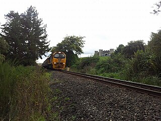
The Kinleith Branch railway line is located in the Waikato region of New Zealand. The line was constructed by the Thames Valley and Rotorua Railway Company, Taupo Totara Timber Company and rebuilt by the Public Works Department primarily to serve the Kinleith Mill in 1952. It is 65 kilometres (40 mi) in length.
Totara was a parliamentary electorate in the West Coast of New Zealand from 1871 to 1881. It was represented by two Members of Parliament

Pureora Forest Park is a 760-square-kilometre (290 sq mi) protected area in the North Island of New Zealand. Within its rich rain forest are an abundance of 1,000-year-old podocarp trees. It is "recognised as one of the finest rain forests in the world". Established in 1978, after a series of protests and tree sittings, the park is one of the largest intact tracts of native forest in the North Island and has high conservation value due to the variety of plant life and animal habitats available. New Zealand's largest totara tree is located nearby on private land.
Pelorus Bridge is a tiny locality in Marlborough, New Zealand where the Rai River meets Pelorus River. State Highway 6 crosses the Pelorus River at Pelorus Bridge Scenic Reserve, which was used as one of the film locations for The Hobbit: The Desolation of Smaug. You can take a guided kayak tour to experience this Hobbit filming location.
The 1877 Totara by-election was a by-election held on 30 April 1877 in the Totara electorate on the West Coast of New Zealand during the 6th New Zealand Parliament.
