
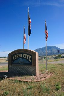
Juab County is a county in western Utah, United States. As of the 2010 United States Census, the population was 10,246. Its county seat and largest city is Nephi.

The Roan Cliffs are a series of desert mountains and cliffs in eastern Utah and western Colorado, in the western United States that are distinct from the Book Cliffs.
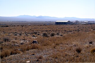
Partoun is an unincorporated community in Juab County, Utah, United States. It is located in Snake Valley at latitude 39.64661N and longitude -113.88700W with an elevation of 4,818' (1,469m). It was founded in 1949 by the religious group called the Aaronic Order, and named after a town in Scotland.
Beryl is an unincorporated community in west-central Iron County, Utah, United States.

Eureka is an unincorporated community and census-designated place (CDP) in Clinton County in the U.S. state of Michigan. The community is located within Greenbush Township. As an unincorporated community, Eureka has no legal autonomy of its own but does have its own post office with the 48833 ZIP Code.
Ticaboo is an unincorporated community in far southeastern Garfield County, Utah, United States.
Collinston is an unincorporated community on the northeastern edge of Box Elder County, Utah, United States.
Altonah is an unincorporated community in central Duchesne County, Utah, United States.
Hanna is an unincorporated community in western Duchesne County, Utah, United States, on the Uintah and Ouray Indian Reservation.
Lapoint is an unincorporated community in western Uintah County, Utah, United States.

The Sevier Desert is a large arid section of central-west Utah, United States, and is located in the southeast of the Great Basin. It is bordered by deserts north, west, and south; its east border is along the mountain range and valley sequences at the perimeter of the Great Basin, with the large north–south Wasatch Range and its associated mountainous landforms. Its eastern border is specifically, the East Tintic, Gilson, and Canyon Mountains; also the massive Pahvant Range.
The Juab Valley is a 40-mile (64 km) long valley located on the eastern edge of Juab County, Utah, United States.

Coker Creek is an unincorporated community in Monroe County, Tennessee, United States. It is located on Tennessee State Route 68 6.7 miles (10.8 km) south of Tellico Plains. Coker Creek had a post office from October 26, 1841, to September 27, 2008; it still has its own ZIP code, 37314 the population of the zipcode area is 147
Beaver Dam is an unincorporated community on the northeastern edge of Box Elder County, Utah, United States.

Tintic School District is a school district located in western Juab County, Utah, United States.
Diamond is a ghost town in eastern Juab County, Utah, United States. The Diamond Cemetery is listed on the National Register of Historic Places.
Diamond Gulch is a gulch in eastern Juab County, Utah, United States.
Currant Creek is a stream in eastern Juab County and southern Utah County in northern Utah, United States.
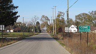
Cone is an unincorporated community in Monroe County in the U.S. state of Michigan. The community is located within Milan Township. As an unincorporated community, Cone has no legally defined boundaries or population statistics of its own.
Lost Creek State Park is a state park in northeastern Morgan County, Utah, United States, about 13 miles (21 km) northeast of city of Henefer and about 10 miles (16 km) northeast of the unincorporated community of Croydon, Utah.


