
Nottinghamshire is a ceremonial county in the East Midlands of England. The county borders South Yorkshire to the north-west, Lincolnshire to the east, Leicestershire to the south, and Derbyshire to the west. The largest settlement is the city of Nottingham (323,632), which is also the county town.

Heanor (/ˈhiːnə/) is a town in the Amber Valley district of Derbyshire, England. It lies 8 miles (13 km) north-east of Derby and forms, with the adjacent village of Loscoe, the civil parish and town council-administered area of Heanor and Loscoe, which had a population of 17,251 in the 2011 census.

Eastwood is a former coal mining town and civil parish in the Broxtowe district of Nottinghamshire, England, 8 miles (13 km) northwest of Nottingham. Mentioned in Domesday Book, it expanded rapidly during the Industrial Revolution. The Midland Railway was formed here and it is the birthplace of D. H. Lawrence.
Ashfield is a local government district in Nottinghamshire, England. The council is based in Kirkby-in-Ashfield, but the largest town is neighbouring Sutton-in-Ashfield. The district also contains the town of Hucknall and a few villages. The district is mostly urban, with some of its settlements forming parts of both the Nottingham and Mansfield Urban Areas.

Hucknall, formerly Hucknall Torkard, is a market town in the Ashfield district of Nottinghamshire, England. It lies 7 miles (11 km) north of Nottingham, 7 miles (11 km) southeast of Kirkby-in-Ashfield, 9 miles (14 km) from Mansfield and 10 miles (16 km) south of Sutton-in-Ashfield. It is the second-largest town in the Ashfield district after Sutton-in-Ashfield.

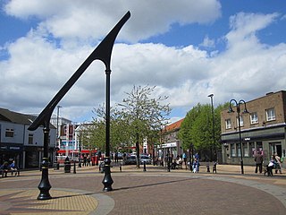
Sutton-in-Ashfield is a market town in Nottinghamshire, England, with a population of 36,404 in 2021. It is the largest town in the district of Ashfield, four miles west of Mansfield, 2 miles (3 km) from the Derbyshire border and 12 miles (19 km) north of Nottingham.

Ashfield is a constituency represented in the House of Commons of the UK Parliament. It is in the English county of Nottinghamshire, East Midlands, to the north-west of the city of Nottingham, in the Erewash Valley along the border with neighbouring county Derbyshire.

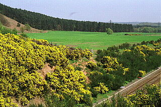
Jacksdale is a village in the Ashfield local-government district of Nottinghamshire, England, once a mining community. The population of Jacksdale ward in Ashfield district was recorded as 3,158 in the 2011 census, and was estimated at 3,097 in 2019. Lying close to the Derbyshire border, Jacksdale is the westernmost community in its county. Neighbouring villages include Selston, Brinsley, Pye Hill and Ironville. Jacksdale and Westwood are interlinked, although houses in Westwood are usually newer, whereas 86 per cent of the housing in Jacksdale was built before 1918.
Annesley is a village and civil parish in the Ashfield district of Nottinghamshire, England, between Hucknall and Kirkby-in-Ashfield. At the 2011 census, it had a population of 1,162, and this increased to 1,814 at the 2021 census.
Bilsthorpe is a village and civil parish in the Newark and Sherwood district of Nottinghamshire, England. According to the 2001 census it had a population of 3,076, increasing to 3,375 at the 2011 census, and dropping slightly to 3,365 at the 2021 census. It is located near the junction of the A614 and A617, around five miles south of Ollerton, nine miles east of Mansfield and six miles north-west of Southwell.

Newstead is a village and civil parish in Nottinghamshire, England in the borough of Gedling. It is situated between the city of Nottingham and the towns of Kirkby-in-Ashfield, Sutton-in-Ashfield and Hucknall.

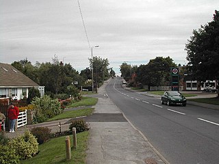
Selston is a large village and civil parish in the Ashfield District of Nottinghamshire, England. It is situated 12 miles (19.3 km) north-northwest of Nottingham and close to the border with Derbyshire. The village is located between the towns of Kirkby-in-Ashfield, Sutton-in-Ashfield, Eastwood, Alfreton, Heanor and Ripley.

Rainworth is a village in the ceremonial county of Nottinghamshire in the East Midlands of England. It is split between the local government districts of Newark and Sherwood and Mansfield. To the north of Rainworth is the village of Clipstone and to the east are the villages of Bilsthorpe and Farnsfield. Mansfield lies two miles to the west and the village of Blidworth is a mile to the south.

Selston High School is a mixed secondary school that educates students aged 11–16. It is located in Selston, Nottinghamshire, England. The headteacher is Mr David Broomhead.

Misterton is a village and civil parish in the Bassetlaw district of Nottinghamshire, England. The parish population at the 2011 census was 2,140, and has risen to 2,191 residents in the 2021 census.

Beighton is a village 6½ miles south-east of Sheffield's city centre, now classed as a historic township of the city. Due to much expansion, the village became a part of Sheffield city in 1967, and was transferred from Derbyshire to the newly created South Yorkshire, England. During much of the late 17th to 19th centuries the village was noted for its edge tool manufacturing, with Thomas Staniforth & Co Sickle works being based at nearby Hackenthorpe.
Selston is a civil parish in the Ashfield district of Nottinghamshire, England. The parish contains eight listed buildings that are recorded in the National Heritage List for England. Of these, one is listed at Grade II*, the middle of the three grades, and the others are at Grade II, the lowest grade. The parish contains the villages of Selston, Bagthorpe, Jacksdale and Underwood and the surrounding countryside. The listed buildings consist of the remains of a manor house, a barn, two farmhouses, two churches, a lychgate and a war memorial.

