This article needs additional citations for verification .(August 2019) |
| Walton on the Wolds | |
|---|---|
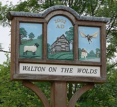 Village sign | |
 Walton on the Wolds Location within Leicestershire | |
| Population | 288 |
| Civil parish |
|
| Shire county | |
| Region | |
| Country | England |
| Sovereign state | United Kingdom |
| Post town | Loughborough |
| Postcode district | LE12 |
| Dialling code | 01509 |
| Police | Leicestershire |
| Fire | Leicestershire |
| Ambulance | East Midlands |
| UK Parliament | |
Walton on the Wolds is a village and civil parish in the Charnwood district of Leicestershire, England. [1] In the United Kingdom Census 2011 the parish had a population of 288. [2] It is near to Burton on the Wolds and Barrow upon Soar. It was the location of one series of Boon , starring Michael Elphick and Neil Morrissey. The series used the Tudor house, Kings Cote, as Boon's house.
The name Walton is derived from the settlement or farmstead of Wealas - native Celts, which is what the new Anglo Saxon speaking peoples called the native inhabitants of England.
The village has an Anglican church called St Mary's.
