State Route 520 (SR 520) is a state highway and freeway in the Seattle metropolitan area, part of the U.S. state of Washington. It runs 13 miles (21 km) from Seattle in the west to Redmond in the east. The freeway connects Seattle to the Eastside region of King County via the Evergreen Point Floating Bridge on Lake Washington. SR 520 intersects several state highways, including Interstate 5 (I-5) in Seattle, I-405 in Bellevue, and SR 202 in Redmond.

State Route 518 (SR 518) is a 3.42-mile-long (5.50 km) state highway located entirely within King County in the U.S. state of Washington. The freeway begins in Burien at an interchange with SR 509 and travels east to serve Seattle–Tacoma International Airport and intersect SR 99 in SeaTac. SR 518 continues east into Tukwila and ends at an interchange with Interstate 5 (I-5), as the freeway becomes I-405. The highway was codified in 1937 as the western segment of Secondary State Highway 1L (SSH 1L) and designated as SR 518 during the 1964 highway renumbering. During the 1970s, the roadway was widened into a freeway to serve the airport and serves over 100,000 vehicles per day.

State Route 104 (SR 104) is a 31.75-mile-long (51.10 km) state highway in the U.S. state of Washington, serving four counties: Jefferson on the Olympic Peninsula, Kitsap on the Kitsap Peninsula, and Snohomish and King in the Puget Sound region. It begins south of Discovery Bay at U.S. Route 101 (US 101) and crosses the Hood Canal Bridge over Hood Canal to the terminus of SR 3 near Port Gamble. SR 104 continues southeast onto the Edmonds–Kingston Ferry to cross the Puget Sound and intersects SR 99 and Interstate 5 (I-5) before ending at SR 522 in Lake Forest Park. SR 104 also has a short spur route that connects the highway to SR 99 at an at-grade signal on the Snohomish–King county line.

State Route 523 is a short Washington state highway located on the city limits of Seattle, Shoreline, and Lake Forest Park in King County. The road itself runs 2.45 miles (3.94 km) east from SR 99 past Interstate 5 (I-5) and ends at SR 522; the highway was first established in 1991, but the roadway from I-5 to 5th Avenue Northeast was once the northern section of Secondary State Highway 1J from 1937 until 1964 and later SR 513 from 1964 until 1991.
State Route 525 (SR 525) is a 30.68-mile-long (49.37 km) state highway located in Snohomish and Island counties in the western region of the U.S. state of Washington. SR 525 begins at an interchange with Interstate 5 (I-5) and I-405 in Lynnwood and travels north to SR 99 as a four-lane controlled-access freeway. From Lynnwood, the highway serves Mukilteo and becomes the terminus of SR 526 before taking its ferry route to Clinton on Whidbey Island. SR 525 traverses the island's interior as part of the Whidbey Island Scenic Byway before the designation ends at an intersection with SR 20 south of Coupeville.

State Route 16 (SR 16) is a 27.16-mile-long (43.71 km) state highway in the U.S. state of Washington, connecting Pierce and Kitsap counties. The highway, signed as east–west, begins at an interchange with Interstate 5 (I-5) in Tacoma and travels through the city as a freeway towards the Tacoma Narrows. SR 16 crosses the narrows onto the Kitsap Peninsula on the partially tolled Tacoma Narrows Bridge and continues through Gig Harbor and Port Orchard before the freeway ends in Gorst. The designation ends at an intersection with SR 3 southwest of the beginning of its freeway through Bremerton and Poulsbo. SR 16 is designated as a Strategic Highway Network (STRAHNET) corridor within the National Highway System as the main thoroughfare connecting Tacoma to Naval Base Kitsap and a part of the Highways of Statewide Significance program.

State Route 3 (SR 3) is a 59.81-mile-long (96.25 km) state highway in the U.S. state of Washington, serving the Kitsap Peninsula in Mason and Kitsap counties. The highway begins at U.S. Route 101 (US 101) south of Shelton and travels northeast onto the Kitsap Peninsula through Belfair to Gorst, where it intersects SR 16 and begins its freeway. SR 3 travels west of Bremerton, Silverdale and Poulsbo before it terminates at the eastern end of the Hood Canal Bridge, signed as SR 104. The highway is designated as a Strategic Highway Network (STRAHNET) corridor under the National Highway System as the main thoroughfare connecting both parts of Naval Base Kitsap and is also part of the Highways of Statewide Significance program.

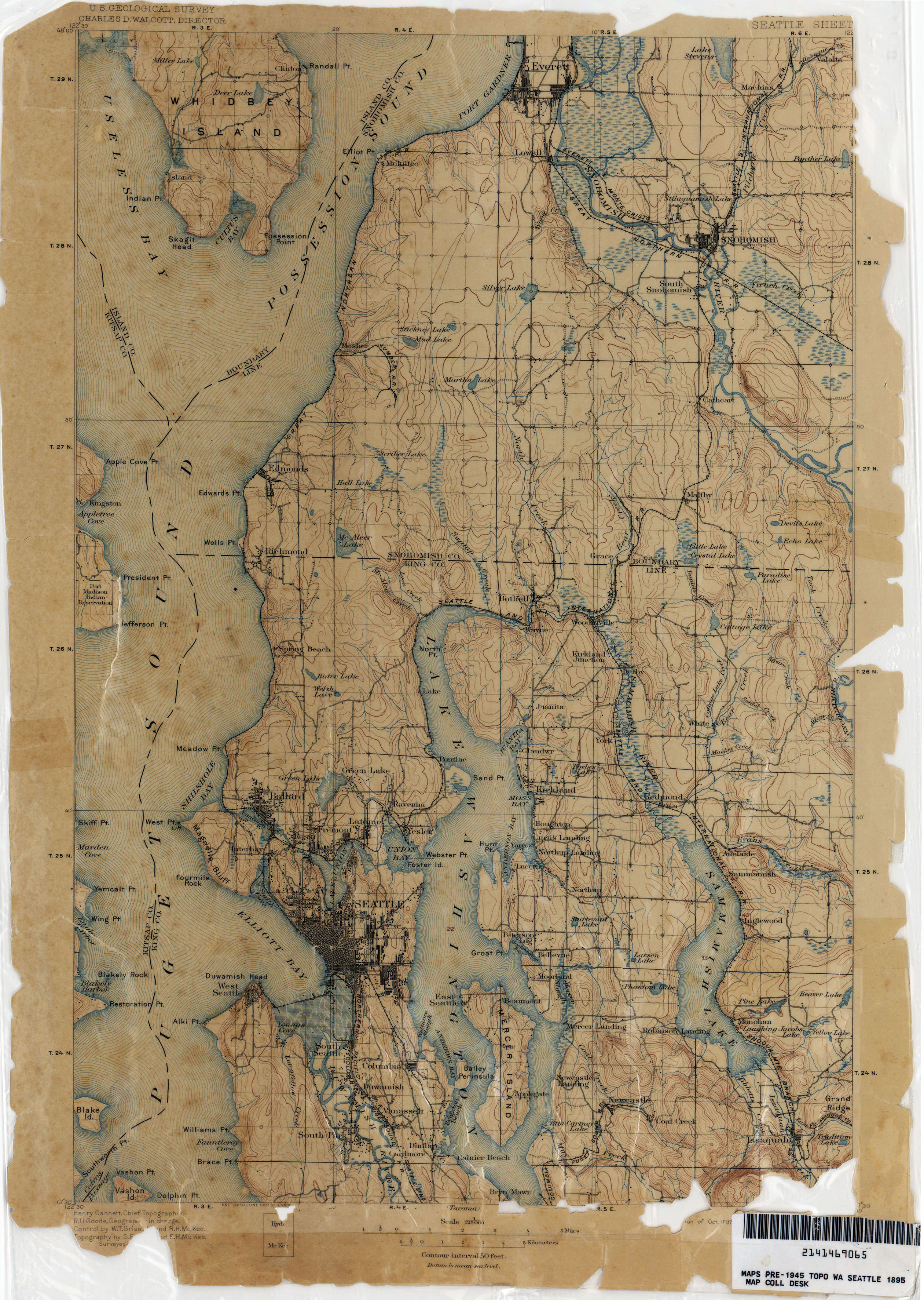
State Route 526 (SR 526), also known as the Boeing Freeway, is a state highway in Snohomish County, Washington, United States. The east–west highway travels 4.52 miles (7.27 km) and connects SR 525 in Mukilteo to Interstate 5 (I-5) in southern Everett. The highway serves the Boeing Everett Factory and Paine Field; it also serves as a main route to the city of Mukilteo and the state-run ferry to Whidbey Island.
State Route 509 (SR 509) is a 35.17-mile-long (56.60 km) state highway in the U.S. state of Washington, connecting Tacoma in Pierce County to Seattle in King County. The highway travels north from Interstate 705 (I-705) in Tacoma to SR 99 south of downtown Seattle. It serves cities along the Puget Sound and west of Seattle–Tacoma International Airport in south King County, including Federal Way, Des Moines, and Burien. SR 509 is part of the National Highway System and is a limited-access highway near the Port of Tacoma and from Burien to its northern terminus in Seattle.

Interstate 405 (I-405) is a north–south auxiliary Interstate Highway serving the Seattle region of Washington, United States. It bypasses Seattle east of Lake Washington, traveling through the Eastside area of King and Snohomish counties, providing an alternate route to I-5. The 30-mile (48 km) freeway serves the cities of Renton, Bellevue, Kirkland, and Bothell. I-405 terminates at I-5 in Tukwila and Lynnwood, and also intersects several major highways, including SR 167, I-90, SR 520, and SR 522.

State Route 9 (SR 9) is a 98.17-mile (157.99 km) long state highway traversing three counties, Snohomish, Skagit, and Whatcom, in the U.S. state of Washington. The highway extends north from an interchange with SR 522 in the vicinity of Woodinville north through Snohomish, Lake Stevens, Arlington, Sedro-Woolley, and Nooksack to become British Columbia Highway 11 (BC 11) at the Canada–US border in Sumas. Three other roadways are briefly concurrent with the route: SR 530 in Arlington, SR 20 in Sedro-Woolley, and SR 542 near Deming. A spur route in Sumas serves trucks traveling into British Columbia.

State Route 530 (SR 530) is a state highway in western Washington, United States. It serves Snohomish and Skagit counties, traveling 50.52 miles (81.30 km) from an interchange with Interstate 5 (I-5) southwest of Arlington past SR 9 in Arlington and Darrington to end at SR 20 in Rockport. Serving the communities of Arlington, Arlington Heights, Oso, Darrington and Rockport, the roadway travels parallel to a fork of the Stillaguamish River from Arlington to Darrington, the Sauk River from Darrington to Rockport and the Whitehorse Trail from Arlington to Darrington.

State Route 527 is a state highway in Snohomish County, Washington. It travels 9 miles (14 km) from north to south, connecting the northern Seattle suburbs of Bothell, Mill Creek, and Everett. The highway intersects Interstate 405 (I-405) at its southern terminus, SR 96 in northern Mill Creek, and I-5 at an interchange with SR 99 and SR 526 in Everett.

State Route 204 (SR 204) is a short state highway in Snohomish County, Washington, United States. It connects U.S. Route 2 (US 2) at the eastern end of the Hewitt Avenue Trestle to the city of Lake Stevens, terminating at a junction with SR 9. The highway runs for a total length of 2.4 miles (3.9 km) and passes through several suburban neighborhoods.

State Route 501 is a 13.97-mile-long (22.48 km) state highway in the southern part of the U.S. state of Washington. It is split into two sections in Clark County, a north–south alignment connecting Interstate 5 (I-5) in Vancouver to the Port of Vancouver and the Ridgefield National Wildlife Refuge, and a west–east alignment connecting Ridgefield to I-5. Prior to the 1964 highway renumbering, SR 501 was designated as Secondary State Highway 1T (SSH 1T), established in 1937 and re-aligned to serve the Port of Vancouver in 1963.

State Route 502 is a 6.12-mile-long (9.85 km) state highway in the U.S. state of Washington, serving the city of Battle Ground in Clark County. The highway travels due east from an interchange with Interstate 5 (I-5) north of Mount Vista through Dollars Corner and Battle Ground to an intersection with SR 503, serving as connector between Battle Ground and I-5. Prior to the 1964 highway renumbering, SR 502 was part of Secondary State Highway 1S (SSH 1S), which was established in 1937. The highway traveled south from its current western terminus until the construction of a new interchange with I-5 in 2008, part of a project to widen SR 502 and install a median barrier on the roadway.

State Route 516 (SR 516) is a 16.49-mile-long (26.54 km) state highway in the U.S. state of Washington, serving communities in southern King County. The highway travels east as the Kent-Des Moines Road and the Kent-Kangley Road from a concurrency with SR 509 in Des Moines through Kent and Covington to an intersection with SR 169 in Maple Valley. SR 516, designated as part of the National Highway System within Kent, intersects three major freeways in the area: Interstate 5 (I-5) in western Kent, SR 167 in downtown Kent, and SR 18 in Covington. The roadway, built in the 1890s, was codified in 1937 as Secondary State Highway 1K (SSH 1K) from Des Moines to Kent and SSH 5A from Kent to Maple Valley. The two highways were combined during the 1964 highway renumbering to form SR 516 on its current route.

State Route 534 (SR 534) is a short Washington state highway located in Skagit County. The 5.08-mile (8.18 km) long route runs east from Interstate 5 (I-5) in Conway to SR 9 in Lake McMurray. The highway was first designated as a state-maintained highway in 1937, when it became Secondary State Highway 1H (SSH 1H) as part of the creation of the Primary and secondary state highways; SSH 1H later became SR 534 during the 1964 highway renumbering.

State Route 432 (SR 432) is a 10.32-mile-long (16.61 km) state highway in the U.S. state of Washington, serving the cities of Longview and Kelso in Cowlitz County. The highway travels east along the Columbia River from an intersection with SR 4 in West Longview through the Port of Longview and the termini of SR 433 and SR 411 in Longview. SR 432 crosses the Cowlitz River on a divided highway and ends at an interchange with Interstate 5 (I-5) in Kelso. SR 432 was established during the 1964 highway renumbering as SR 832, replacing a branch of Primary State Highway 12 (PSH 12) that had been routed through Longview and Kelso since 1937. SR 432 was established in 1968 and originally routed on Nichols Boulevard within Longview and was re-aligned onto its current route in 1991 after the opening of Industrial Way.
State Route 162 (SR 162) is a 17.37-mile-long (27.95 km) state highway in the U.S. state of Washington, serving rural Pierce County. The highway travels from an interchange with SR 410 in Sumner and travels south along the Puyallup River to Orting and northeast to South Prairie, ending at an intersection with SR 165 near Buckley. SR 162 was established in 1964 as the successor to Secondary State Highway 5E (SSH 5E), codified in 1937. The highway crossed the Puyallup River northwest of Orting on the McMillin Bridge, which opened in 1934 and was replaced with a newer bridge that opened in 2015.


