Oneida County is a county in the state of Wisconsin, United States. At the 2020 census, the population was 37,845. Its county seat is Rhinelander.
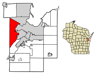
Hobart is a village in Brown County in the U.S. state of Wisconsin. The population was 10,211 at the 2020 census. Hobart is a part of the Green Bay Metropolitan Statistical Area. The village is located entirely within the former treaty boundaries of the Oneida Nation of Wisconsin.

Parrish is a town in Langlade County, Wisconsin, United States. The population was 91 at the 2010 census, down from 108 at the 2000 census. The unincorporated community of Parrish is located in the town.

Harrison is a town in Lincoln County, Wisconsin, United States. The population was 833 at the 2010 census, up from 793 at the 2000 census. The unincorporated communities of Bundy, Harrison, and Jeffris are located in the town.

King is a town in Lincoln County, Wisconsin, United States. The population was 855 at the 2010 census.

Cassian is a town in Oneida County, Wisconsin, United States. The population was 962 at the 2000 census. The unincorporated communities of Goodnow and Harshaw are located in the town.

Crescent is a town in Oneida County, Wisconsin, United States. The population was 2,071 at the 2000 census. The unincorporated community of Crescent Corner is located in the town.

Enterprise is a town in Oneida County, Wisconsin, United States. The population was 274 at the 2000 census. The unincorporated community of Enterprise is located in the town.
Hazelhurst is a town in Oneida County, Wisconsin, United States. The population was 1,258 at the 2018 census. The unincorporated community of Hazelhurst is located in the town.

Lake Tomahawk is a town in Oneida County, Wisconsin, United States named for the adjacent freshwater lake of the same name. The population was 1,160 at the 2000 census. The census-designated place of Lake Tomahawk and the unincorporated community of Sunflower are located in the town.

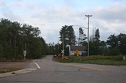
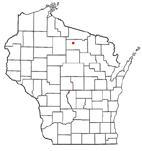
Monico is a town in Oneida County, Wisconsin, United States. The population was 260 at the 2020 census. The unincorporated community of Monico is located in the town.

Newbold is a town in Oneida County, Wisconsin, United States. The population was 2,710 at the 2000 census. Tom Doyle Lake and the unincorporated communities of McNaughton and Newbold are located in the town.

Nokomis is a town in Oneida County, Wisconsin, United States. The population was 1,371 at the 2010 census.

Pine Lake is a town in Oneida County, Wisconsin. The population was 2,720 at the time of the 2000 census. The unincorporated community of Roosevelt is located in the town.

Sugar Camp is a town in Oneida County, Wisconsin, United States. The population was 1,694 at the 2010 census. The unincorporated community of Sugar Camp is located in the town
Woodruff is a town in Oneida County, Wisconsin, United States. The population was 2,055 at the 2010 census. The census-designated place of Woodruff is located in the town.
Oneida is a town in Outagamie County, Wisconsin, United States. The population was 4,001 at the 2000 census. The unincorporated communities of Chicago Corners and Oneida are located in the town. The town occupies the Outagamie County portion of Wisconsin's Oneida Nation of Wisconsin.

Oneida is an unincorporated community and former census-designated place (CDP) in the Town of Oneida, Outagamie County, Wisconsin, United States. The population was 1,070 at the 2000 census. At the census, part of the CDP lay within the Town of Hobart, which has since incorporated as a village, in adjacent Brown County. Oneida is located on Wisconsin Highway 54.

Casco is a village in Kewaunee County, Wisconsin, United States. The population was 583 at the 2010 census. It is part of the Green Bay Metropolitan Statistical Area. The village is located within the Town of Casco. Casco is named after Casco Bay on the coast of Maine, the previous home of Edward Decker, an early logger in Kewaunee County.

Baraboo is a town in Sauk County, Wisconsin, United States. The population was 1,816 at the 2020 census. The City of Baraboo is located mostly within the town. The unincorporated community of Crawford Crossing is located in the town.