
The Arctic Archipelago, also known as the Canadian Arctic Archipelago, is a group of islands north of the Canadian mainland.

Parksville is a town in McCormick County, South Carolina, United States. The population was 117 at the 2010 census.
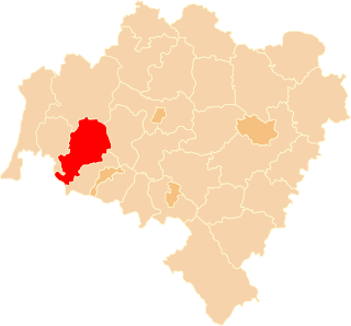
Lwówek Śląski County is a unit of territorial administration and local government (powiat) in Lower Silesian Voivodeship, south-western Poland. It came into being on January 1, 1999, as a result of the Polish local government reforms passed in 1998. The county covers an area of 709.9 square kilometres (274.1 sq mi). Its administrative seat is the town of Lwówek Śląski, and it also contains the towns of Gryfów Śląski, Mirsk, Wleń and Lubomierz.

Chinchiná is a municipality located in the department of Caldas in Colombia, 17 kilometres (11 mi) southwest of Manizales. Chinchiná is rich in character and beautiful landscapes. Founded in 1857 by Antioquian colonists, Chinchiná is settled in a valley surrounded by coffee plantations, called "fincas", in the Central Cordillera of the Andes.
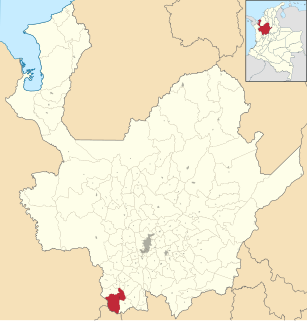
Andes is a municipality in the Antioquia Department, Colombia. Part of the subregion of Southwestern Antioquia. It is located on the western Colombian Andes mountain range. Andes was founded on 13 March 1852 by Pedro Antonio Restrepo Escobar. Its elevation is 1.360 masl with an average temperature of 22 °C. The distance reference from Medellín city, the capital of Antioquia Department, is 117 km and it has a total area of 403.42 km². This town is well known for being the place where Gonzalo Arango a writer, philosopher and Antioquian journalist was born. The more significantly source of its economy is agriculture, mainly coffee cultivation.

Logos School is a private, classical Christian school and is a member of the Association of Classical and Christian Schools (ACCS). Logos provides a classical Christian education. It is located in Moscow, Idaho. Logos School is the first Classical Christian school in the modern movement and its teaching approach is discussed in the book Recovering the Lost Tools of Learning.

Víznar is a municipality located in the province of Granada, Spain, only a few miles from the city of Granada itself. According to the 2005 census (INE), the town has a population of 789 inhabitants.
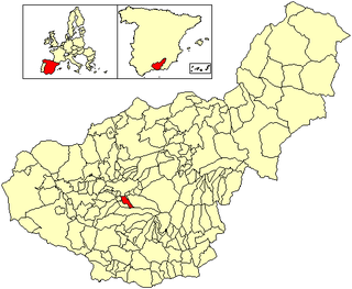
La Zubia is a municipality located in the province of Granada, Spain. According to the 2010 census (INE), the city has a population of 18,240 inhabitants.
Pino del Oro is a Spanish municipality in the province of Zamora, Castile and León. It has a population of 203 (2006) and an area of 30 km².
Méndez Municipality is a municipality located in the Mexican state of Tamaulipas.
Mogomnore is a town in the Bittou Department of Boulgou Province in south-eastern Burkina Faso. As of 2005, the town has a population of 2,422.
Bonsiega is a town in the Liptougou Department of Gnagna Province in eastern Burkina Faso. The town has a population of 3,583.
The Chino Fault is a fault that extends along the eastern Chino Hills range region, from Corona in Riverside County to the Los Serranos, Chino Hills area of San Bernardino County in Southern California.
Bradford Siding is a former settlement in Inyo County, California.
Carthage is a former settlement in Inyo County, California.
Cerro Gordo Landing is a former settlement in Inyo County, California. The port for steamboats crossing the lake from Carthago was located on the west shore of the Owens Lake 1 mile (1.6 km) south-southeast of Keeler. It served the Cerro Gordo Mines.
Tule Station is a former settlement in Inyo County, California. It was located on the west shore of the Owens Lake 2 miles (3.2 km) south-southeast of Cerro Gordo Landing.
Sidi Ghiles is a town and commune in Tipaza Province in northern Algeria.

Kwabeng is a town in south Ghana and is the capital of Atiwa District, a district in the Eastern Region of south Ghana.

Teshie-Nungua is a small town and is the capital of Ledzokuku-Krowor Municipal district, a district in the Greater Accra Region of Ghana.Teshie is a town on its own and different from Nungua. Nungua share boundaries with Sakumono, Lashibi and Team.


