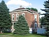
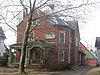
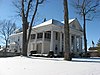
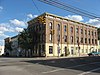
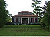
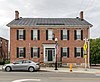
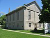
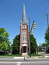
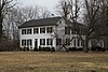
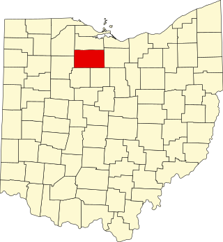
This is intended to be a complete list of the properties and districts on the National Register of Historic Places in Champaign County, Ohio, United States. The locations of National Register properties and districts for which the latitude and longitude coordinates are included below, may be seen in an online map.[1]
There are 34 properties and districts listed on the National Register in the county. Another property was once listed but has been removed.
This is a list of the National Register of Historic Places listings in Lucas County, Ohio.
This is a list of the National Register of Historic Places listings in Seneca County, Ohio.
This is a list of the National Register of Historic Places listings in Miami County, Ohio.
This is a list of the National Register of Historic Places listings in Clark County, Ohio.
This is a list of the National Register of Historic Places listings in Washington County, Ohio.
This is a list of the National Register of Historic Places listings in Allen County, Ohio.
This is a list of the National Register of Historic Places listings in Ottawa County, Ohio.
This is a list of the National Register of Historic Places listings in Guernsey County, Ohio.
This is a list of the National Register of Historic Places listings in Shelby County, Ohio.
This is a list of the National Register of Historic Places listings in Ohio County, West Virginia.
This is intended to be a complete list of the properties and districts on the National Register of Historic Places in Champaign County, Illinois, United States. Latitude and longitude coordinates are provided for many National Register properties and districts; these locations may be seen together in a map.
This is a list of the National Register of Historic Places listings in Jackson County, Ohio.
This is a list of the National Register of Historic Places listings in Madison County, Ohio.
This is a list of the National Register of Historic Places listings in Wyandot County, Ohio.
This is a list of the National Register of Historic Places listings in Noble County, Ohio.
This is a list of the National Register of Historic Places listings in Meigs County, Ohio.
This is a list of the National Register of Historic Places listings in Logan County, Ohio.
This is a list of the National Register of Historic Places listings in Harrison County, Ohio.
This is a list of the National Register of Historic Places listings in Union County, Ohio.
This is a list of the National Register of Historic Places listings in Williams County, Ohio.
References
↑ The latitude and longitude information provided in this table was derived originally from the National Register Information System, which has been found to be fairly accurate for about 99% of listings. Some locations in this table may have been corrected to current GPS standards.
1 2 Numbers represent an alphabetical ordering by significant words. Various colorings, defined here, differentiate National Historic Landmarks and historic districts from other NRHP buildings, structures, sites or objects.
↑ The eight-digit number below each date is the number assigned to each location in the National Register Information System database, which can be viewed by clicking the number.
This page is based on this Wikipedia article Text is available under the CC BY-SA 4.0 license; additional terms may apply. Images, videos and audio are available under their respective licenses.