Adamson, Kansas

Last updated

Adamson, Kansas
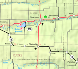
Map of Rooks Co, Ks, USA.png
USA Kansas location map.svg
Red pog.svg
Adamson
Usa edcp location map.svg
Red pog.svg
Adamson
Coordinates: 39°33′05″N99°35′06″W / 39.55139°N 99.58500°W / 39.55139; -99.58500
Country United States
State Kansas
County Rooks
Elevation
2,133 ft (650 m)
Population
  Total
0
Time zone UTC-6 (CST)
  Summer (DST) UTC-5 (CDT)
Area code 785
GNIS ID 482521 [1]

Adamson is a ghost town in Bow Creek Township, Rooks County, Kansas, United States. [1]

Contents

History

Adamson was issued a post office in 1875. The post office was discontinued in 1892. There is nothing left of Adamson. [2]

References

  1. 1 2 "Adamson, Kansas", Geographic Names Information System , United States Geological Survey, United States Department of the Interior
  2. "Kansas Post Offices, 1828-1961". Kansas Historical Society. Retrieved December 30, 2017.

Further reading