Highhill, Kansas | |
|---|---|
 | |
 Highhill  Highhill | |
| Coordinates: 39°22′47″N99°04′25″W / 39.37972°N 99.07361°W | |
| Country | United States |
| State | Kansas |
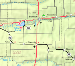
| County | Rooks |
| Elevation | 1,913 ft (583 m) |
| Population | |
• Total | 0 |
| Time zone | UTC-6 (CST) |
| • Summer (DST) | UTC-5 (CDT) |
| Area code | 785 |
| GNIS ID | 481901 [1] |
Highhill (or High Hill) is a ghost town in Medicine Township, Rooks County, Kansas, United States. [1]
