Amanda Park, Washington | |
|---|---|
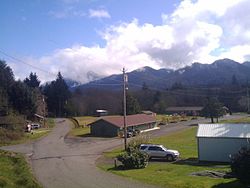 View of Amanda Park | |
 Amanda Park  Amanda Park | |
| Coordinates: 47°27′14″N123°54′05″W / 47.45389°N 123.90139°W | |
| Country | United States |
| State | Washington |
| County | Grays Harbor |
| Area | |
• Total | 8.5 sq mi (22.0 km2) |
| • Land | 8.2 sq mi (21.3 km2) |
| • Water | 0.3 sq mi (0.7 km2) |
| Elevation | 367 ft (112 m) |
| Population | |
• Total | 162 |
| • Density | 19/sq mi (7.4/km2) |
| Time zone | UTC-8 (Pacific (PST)) |
| • Summer (DST) | UTC-7 (PDT) |
| ZIP Code | 98526 |
| FIPS code | 53-01780 [3] |
| GNIS feature ID | 2584944 [1] |
Amanda Park is a census designated place on the Olympic Peninsula in Grays Harbor County, Washington, United States, [4] along U.S. Route 101. Olympic National Park and Lake Quinault are directly to the north. As of the 2010 census the population was 252. [3]
