Amingaon | |
|---|---|
Neighbourhood | |
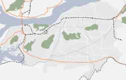 Amingaon Location in Guwahati  Amingaon Location in Assam | |
| Coordinates: 26°11′18″N91°40′42″E / 26.18833°N 91.67833°E | |
| Country | India |
| State | Assam |
| District | Kamrup district |
| City | North Guwahati |
| Elevation | 31 m (102 ft) |
| Time zone | UTC+5:30 (IST) |
| PIN | 781 XXX |
| Vehicle registration | AS-01 |
| Lok Sabha constituency | Gauhati |
| Vidhan Sabha constituency | Jalukbari [1] |
Amingaon (Assamese pronunciation: [ˈɑ:mɪnˌgɑ̃ʊ] ) is a locality in North Guwahati, Assam.