Candlewood Knolls, Connecticut | |
|---|---|
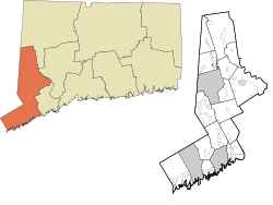 Location within the Western Connecticut Planning Region and the state of Connecticut | |
 Candlewood Knolls  Candlewood Knolls | |
| Coordinates: 41°28′45″N73°27′48″W / 41.47917°N 73.46333°W | |
| Country | |
| State | |
| Counties | Fairfield |
| Region | Western CT |
| Town | New Fairfield |
| Area | |
• Total | 0.39 km2 (0.15 sq mi) |
| • Land | 0.39 km2 (0.15 sq mi) |
| • Water | 0.0 km2 (0.0 sq mi) |
| Elevation | 140 m (450 ft) |
| Time zone | UTC-5 (Eastern (EST)) |
| • Summer (DST) | UTC-4 (EDT) |
| ZIP Code | 06812 (New Fairfield) |
| Area codes | 203/475 |
| FIPS code | 09-11430 |
| GNIS feature ID | 2805936 [2] |
| Website | www |
Candlewood Knolls is a census-designated place (CDP) in the town of New Fairfield, Fairfield County, Connecticut, United States. It is in the southeastern part of the town, on the western shore of Candlewood Lake.
Candlewood Knolls was first listed as a CDP prior to the 2020 census.
