This article needs additional citations for verification .(April 2024) |
Chera | |
|---|---|
 Chera in 2012 | |
 Coat of arms | |
 Chera Location of Sinarcas in Spain 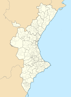 Chera Chera (Valencian Community)  Chera Chera (Spain) | |
| Coordinates: 39°35′29″N0°58′32″W / 39.59139°N 0.97556°W | |
| Country | |
| Autonomous community | |
| Province | Valencia |
| Comarca | Requena-Utiel |
| Judicial district | Requena |
| Government | |
| • Alcalde | Alejandro Portero Igual PSOE |
| Area | |
• Total | 54.5 km2 (21.0 sq mi) |
| Elevation | 600 m (2,000 ft) |
| Population (2025-01-01) [1] | |
• Total | 508 |
| • Density | 9.32/km2 (24.1/sq mi) |
| Demonym | cherano/a |
| Time zone | UTC+1 (CET) |
| • Summer (DST) | UTC+2 (CEST) |
| Postal code | 46350 |
| Official language(s) | Spanish |
| Website | Official website |
Chera is a municipality in the comarca of Requena-Utiel in the Valencian Community, Spain. The name in Valencian is Xera, but the local language is Spanish, not Valencian.
Geographically and historically Chera was part of the Serrans comarca. Nowadays, according to the current administrative division pattern of the Valencian Community, Chera is officially part of the Requena-Utiel comarca.
The Castle of Chera, dating to the 12th century is located within the municipality. [2] The Natural Park of Chera-Sot de Chera is shared with Sot de Chera. [3] [4]