
The A390 is a road in Cornwall and Devon, England. It runs from Tavistock to 5 miles (8.0 km) north west of the city of Truro. Starting in Tavistock, it heads south-westwards towards Liskeard, crossing over the River Tamar and into Cornwall, then through Gunnislake and Callington. Immediately before Liskeard, it merges with the A38 north of the town. It diverges from the A38 at Dobwalls, where it then runs in a south-westerly direction to Truro via Lostwithiel, St. Blazey, and St Austell. It then forms an upside down elongated square loop, and bypasses Truro City Centre. It then heads north west out of the city, where it forms the main corridor into Truro from the west. It passes the Royal Cornwall Hospital and skirts the village of Threemilestone, before linking up with the A30 road at Chiverton Cross, where the A390 terminates. Chiverton Cross is where the A390 trunk road from Truro and the B3277 to St Agnes meet the east–west A30 trunk road. Before the A390 was rerouted away from Chacewater it ended at its junction with the A30 at Scorrier.

The A105 road is an A road in London, England. It runs from Canonbury, in between Highbury and Dalston, to Enfield Town. The road is 8 miles (13 km) long. Part of the road forms Green Lanes, one of the longest streets in London, while the A105 also serves as the primary access route to the Shopping City shopping centre in Wood Green.
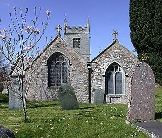
Colan is a village and civil parish in mid-Cornwall, England, United Kingdom. It is situated approximately three miles (5 km) east of Newquay. The electoral ward is called Colan and Mawgan. The population of this ward at the 2011 census was 4,256 The hamlets of Bosoughan, Chapel, Gwills, Kestle Mill, Lane, Mountjoy, Quintrell Downs, Trebarber and Trencreek are in the parish. The Fir Hill, and Firhill Woods near Nanswhyden, contains the ruins of Fir Hill Manor. Colan Church dates back to the thirteenth century.

The De Lank River is a small river in north Cornwall, England. It is a tributary of the River Camel and is approximately nine miles (14.5 km) long from its source on Bodmin Moor to its confluence with the Camel two miles (3 km) south of St Breward.
Cross Coombe is a hamlet in the parish of St Agnes, Cornwall, England, UK.
Curry Lane is a hamlet in the parish of Boyton Cornwall, England.

Downgate is a hamlet in east Cornwall, England. It is between Pensilva and Upton Cross. According to the Post Office the 2011 census population was included in the civil parish of Linkinhorne.
Gorran High Lanes, known locally as Gorran Highlanes, is a hamlet in the parish of St Goran in mid Cornwall, England.
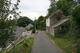
Lane is a hamlet in the parish of Colan, Cornwall, England. Its immigrant population is lower than the UK's national average. It also has 20% lower higher and Intermediate managerial, administrative or professional households than the UK's national average.
Lane-end is a hamlet in the parish of Egloshayle, Cornwall, England. It is in the civil parish of St Mabyn
Lockengate is a hamlet in Cornwall, England, UK. It is two miles south of Lanivet on the A391 road. It is in the civil parish of Luxulyan
Marshgate is a hamlet partly in the parish of Otterham, Cornwall, England, UK. The population at the 2011 census was included in the civil parish of St Juliot. The village was at one time two settlements called Marshgate, and Trevenn – however the use of the latter name fell into disuse – seemingly in the 19th century.

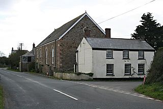
Mawla is a village south of Porthtowan in Cornwall, England, UK. The earliest record of Mawla is in 960 AD; the meaning of the name is "pigs' place". It comprises a cluster of cottages, Mawla Farm, Green Lane Farm, Forge Farm and a Methodist church. Mawla has no shops or pubs.
Merther Lane is a hamlet in the parish of St Michael Penkevil, Cornwall, England.
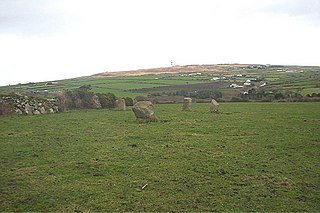
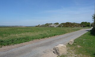
Nine Maidens Downs is a moorland southwest of Four Lanes in Cornwall, England, UK.
Paynter's Lane End is a hamlet in the parish of Illogan, Cornwall, England.
Pengegon is a residential area east of Camborne, Cornwall, England, which has a fish and chip shop, a playground and memorial to local teen Shakira Pellow. From 2013 to 2021, Pengegon was included in the Camborne Treslothan division on Cornwall Council. After boundary changes at the 2021 local elections, it was placed in the new Four Lanes, Beacon and Troon division.


