Cunningham, West Virginia | |
|---|---|
 Cunningham  Cunningham | |
| Coordinates: 39°5′46″N78°56′38″W / 39.09611°N 78.94389°W | |
| Country | United States |
| State | West Virginia |
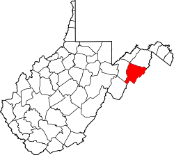
| County | Hardy |
| Time zone | UTC-5 (Eastern (EST)) |
| • Summer (DST) | UTC-4 (EDT) |
| GNIS feature ID | 1554243 [1] |
Cunningham is an unincorporated community in Hardy County, West Virginia, United States. It lies north of Moorefield along the South Branch Valley Railroad and Trough Road (County Route 6) on the eastern side of the South Branch Potomac River.