Victoria is the capital city of the Canadian province of British Columbia, on the southern tip of Vancouver Island off Canada's Pacific coast. The city has a population of 91,867, and the Greater Victoria area has a population of 397,237. The city of Victoria is the seventh most densely populated city in Canada with 4,406 inhabitants per square kilometre (11,410/sq mi).

Vancouver Island is an island in the northeastern Pacific Ocean and part of the Canadian province of British Columbia. The island is 456 km (283 mi) in length, 100 km (62 mi) in width at its widest point, and 32,100 km2 (12,400 sq mi) in total area, while 31,285 km2 (12,079 sq mi) are of land. The island is the largest by area and the most populous along the west coasts of the Americas.

Saanich is a district municipality on Vancouver Island in British Columbia, within the Greater Victoria area. The population was 117,735 at the 2021 census, making it the most populous municipality in the Capital Regional District and Vancouver Island, and the eighth-most populous in the province. The district adopted its name after the Saanich First Nation, meaning "emerging land" or "emerging people". The district acts as a bedroom community immediately to the north of Victoria, British Columbia.

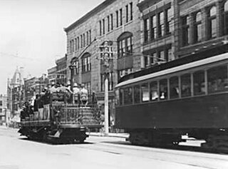
The British Columbia Electric Railway (BCER) was an historic railway which operated in southwestern British Columbia, Canada. Originally the parent company for, and later a division of, BC Electric Company, the BCER assumed control of existing streetcar and interurban lines in southwestern British Columbia in 1897, and operated the electric railway systems in the region until the last interurban service was discontinued in 1958. During and after the streetcar era, BC Electric also ran bus and trolleybus systems in Greater Vancouver and bus service in Greater Victoria; these systems subsequently became part of BC Transit, and the routes in Greater Vancouver eventually came under the control of TransLink. Trolley buses still run in the City of Vancouver with one line extending into Burnaby.

Greater Victoria is located in British Columbia, Canada, on the southern tip of Vancouver Island. It is usually defined as the thirteen municipalities of the Capital Regional District (CRD) on Vancouver Island as well as some adjacent areas and nearby islands.

The following is an alphabetical list of articles related to the Canadian province of British Columbia.

Rob Fleming is a Canadian politician who was elected to the Legislative Assembly of British Columbia in the 2005 provincial election. Initially representing Victoria-Hillside, he was re-elected in subsequent elections in the renamed constituency of Victoria-Swan Lake. A member of the British Columbia New Democratic Party, he was named to the cabinet of British Columbia in July 2017 as Minister of Education, before assuming his current post as Minister of Transportation and Infrastructure in November 2020. Prior to entering provincial politics, he was a city councillor in Victoria, British Columbia from 1999 to 2005.

Central Saanich is a district municipality in Greater Victoria, British Columbia, Canada, and a member municipality of the Capital Regional District. It is located on the Saanich Peninsula, in the far south-east of Vancouver Island. It is the traditional territory of the W̱SÁNEĆ people. The district began as a farming community, and many hobby farms, along working farms and vineyards, still exist. In recent decades, the area has seen increasing residential, commercial, and industrial development, especially around the neighbourhoods of Brentwood Bay and Saanichton, which are occasionally referred to as separate communities.
Saanich Peninsula is located north of Victoria, British Columbia, Canada. It is bounded by Saanich Inlet on the west, Satellite Channel on the north, the small Colburne Passage on the northeast, and Haro Strait on the east. The exact southern boundary of what is referred to as the "Saanich Peninsula" is somewhat fluid in local parlance.

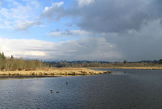
Burnaby Lake is a lake located in Burnaby, British Columbia and is the focal geographic feature and namesake of Burnaby Lake Regional Park. The lake occupies 3.11 square kilometres of land, and is home to a large variety of wildlife. At least 70 species of birds make the lake and surrounding areas their home, and about 214 species of birds visit the lake throughout the year. The park has been managed by the Metro Vancouver Parks Department since 1977.

Patricia Bay is a body of salt water that extends east from Saanich Inlet and forms part of the shoreline of North Saanich, British Columbia. It lies due west of Victoria International Airport. A municipal park covers most of its eastern shore except at the southern end, which is home to a Canadian Coast Guard base, a seaplane port known as Victoria Airport Water Aerodrome, and two Canadian Government research facilities – the Institute of Ocean Sciences and GSC Pacific Sidney.

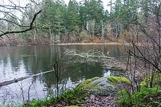
The Elk/Beaver Regional Park is a 1,072-acre (434 ha) park in Saanich, British Columbia, containing Elk Lake and Beaver Lake.

Victoria Harbour is a harbour, seaport, and seaplane airport in the Canadian city of Victoria, British Columbia. It serves as a cruise ship and ferry destination for tourists and visitors to the city and Vancouver Island. It is both a port of entry and an airport of entry for general aviation. Historically it was a shipbuilding and commercial fishing centre. While the Inner Harbour is fully within the City of Victoria, separating the city's downtown on its east side from the Victoria West neighbourhood, the Upper Harbour serves as the boundary between the City of Victoria and the district municipality of Esquimalt. The inner reaches are also bordered by the district of Saanich and the town of View Royal. Victoria is a federal "public harbour" as defined by Transport Canada. Several port facilities in the harbour are overseen and developed by the Greater Victoria Harbour Authority, however the harbour master's position is with Transport Canada.

David C D Calder is a Canadian rower. A four-time Olympian, he is a 2008 Olympics silver medallist in the men's coxless pair rowing event along with Scott Frandsen.
The Goldstream River is a river northwest of Victoria on southern Vancouver Island, British Columbia, Canada. The river's name derives from a small gold rush in its basin during the 1860s, and was originally Gold Stream.

Pat Bay Air was a charter float plane and airline flying from the Victoria Airport Water Aerodrome in Patricia Bay near the Victoria International Airport on Widgeon Drive in North Saanich, British Columbia, Canada, where its headquarters was located. Pat Bay Air was one of only two seaplane companies to be based out of the historic Patricia Bay Seaplane Base; the other is Ocean Air Floatplanes. The seaplane base has been in continuous operation since the Second World War. Pat Bay Air Ltd. was purchased by Sandpiper Air Seaplanes Ltd. in 2013. Sandpiper Air Seaplanes Ltd. officially ceased operations in Alberta and BC in March 2016.

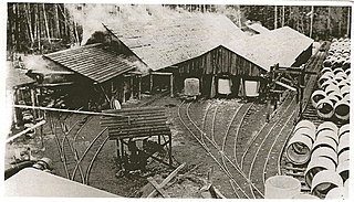
The Sooke Flowline is an abandoned 44-kilometre (27 mi) concrete aqueduct that snakes through the Sooke Hills from Sooke Lake to the Humpback Reservoir, near Mount Wells Regional Park, in British Columbia, Canada. From this reservoir, a buried, riveted steel pressure main transported water to Victoria. Between 1994 and 2007, this main was replaced, since it was long past its useful life. The flowline was vital to the continued growth of the city of Victoria, as it provided a reliable water supply. While the flowline remains, Victoria's water supply is now carried via Kapoor Tunnel. Leigh Hodgetts, CRD Waterworks superintendent, reported that the westernmost section of the flowline is still used to carry Sooke's water supply, via a 16-inch interconnecting pipe feeding the Sooke distribution system from Charters Creek to Sooke River Road.

The water supply system for Victoria, British Columbia, Canada, now operated by the Capital Regional District (CRD), served in 2010 over 330,000 people with clean drinking water from a catchment area of 11,025 hectares centered on its main reservoir at Sooke Lake. The CRD’s ownership and complete control of its entire watershed assures its customers of a supply that is secure in both quantity and quality. The main reservoir and its subsidiary reservoirs are estimated to contain 93 billion litres of water, enough to meet the needs of its customers for two years without any rainfall. The history of this remarkable system is sketched below.
Claremont Secondary School (CSS) is a public secondary school in Saanich, a municipality of Greater Victoria, British Columbia, Canada. It is operated by School District 63 Saanich. CSS is one of three secondary schools in the school district and the one serving the southern end of the Saanich Peninsula. It is fed from Royal Oak Middle School and is an active participant in the Saanich International Student Program (SISP), with over 100 international students from nine countries enrolled at CSS for the 2013-14 school year.


