
Montgomery County is a rural county located in the southern Piedmont of the U.S. state of North Carolina. As of the 2020 census, the population was 25,751. Its county seat is Troy.
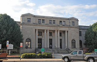
Richmond County is a county located on the central southern border of the U.S. state of North Carolina. Its county seat is Rockingham. The county was formed in 1779 from a portion of Anson County and named in honor of Charles Lennox, 3rd Duke of Richmond and Lennox. As of the 2020 census, the population was 42,946.

Mooresboro is a town in Cleveland County, North Carolina, United States. The population was 311 at the 2010 census.
Cerro Gordo is a town in Columbus County, North Carolina, United States. The population was 207 at the 2010 census.
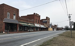
Stokesdale is a town in Guilford County, North Carolina, United States with small parts in the counties of Rockingham, Forsyth, and Stokes. The population was 5,924 at the 2020 census. Belews Lake is located nearby, and North Carolina Highway 68 and North Carolina Highway 65 both intersect U.S. Route 158 near the town's center.
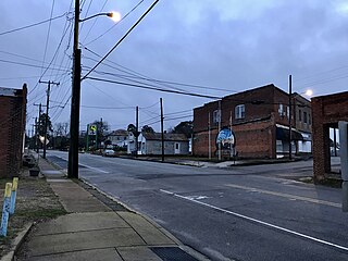
Seaboard is a township in Northampton County, North Carolina, United States, created as a company town by the Seaboard and Roanoke Railroad, approximately 10 miles northeast of Weldon in the mid-1840s as a place for railroad employees to live.
East Rockingham is a census-designated place (CDP) in Richmond County, North Carolina, United States. The population was 3,885 at the 2000 census.

Hamlet is a city in Richmond County, North Carolina, United States. The population was 6,042 at the 2020 census.

Rockingham is a city in Richmond County, North Carolina, United States, named after the Marquess of Rockingham. The population was 9,558 at the 2010 census. It is the county seat of Richmond County.
Orrum is a town in Robeson County, North Carolina, United States. The population was 91 at the 2010 census.
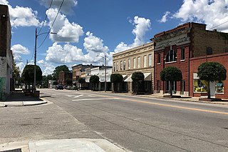
Rowland is a town in Rowland Township, Robeson County, North Carolina, United States. The population was 1,037 at the 2010 census.

Madison is a town located in Rockingham County, North Carolina. At the 2020 census, the town had a total population of 2,132. Madison is part of the Greensboro-High Point Metropolitan Statistical Area of the Piedmont Triad metro region. It was home to the corporate headquarters of Remington Arms until 2020, when the company was made defunct by bankruptcy proceedings. It is still home to Marlin Firearms, which was an asset of Remington now owned by Sturm, Ruger & Co.
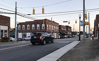
Mayodan is a town in Rockingham County, North Carolina, in the United States. It is a manufacturing site for Sturm, Ruger & Co., Bridgestone Aircraft Tire, and formerly General Tobacco. Washington Mills Company, later Tultex, operated a textile mill in Mayodan until 1999.

Reidsville is a city in Rockingham County in the U.S. state of North Carolina. At the 2020 census, the city had a total population of 14,583. Reidsville is included in the Greensboro–High Point Metropolitan Statistical Area of the Piedmont Triad.
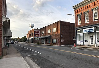
Stoneville is a town in Rockingham County, North Carolina, United States. Stoneville is part of the Greensboro–High Point metropolitan area of the Piedmont Triad. At the 2020 United States census, the town had a population of 1,308.

Wentworth is a town in Rockingham County, North Carolina, United States. The population was 2,646 at the 2020 census. Wentworth is the county seat of Rockingham County and is part of the Greensboro-High Point metropolitan area of the Piedmont Triad. On May 6, 2022, an EF-1 Tornado hit Wentworth. The storm traveled as a supercell with crazy structure from the Pilot Mountain, North Carolina, and Pinnacle, North Carolina, area across central Stokes County and into Rockingham County. It took out trees, damaged homes, and blocked roads before it lifted off southwest of Reidsville.
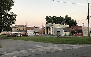
Gibson is a town in Scotland County, North Carolina, United States. The population was 540 at the 2010 census.

Laurinburg is a city in and the county seat of Scotland County, North Carolina, United States. Located in southern North Carolina near the South Carolina border, Laurinburg is southwest of Fayetteville and is home to St. Andrews University. The population at the 2010 census was 15,962 people.

Wagram is a town in Scotland County, North Carolina, United States. The population was 840 at the 2010 census. The town was named for the Battle of Wagram, a Napoleonic battle at Deutsch-Wagram in Austria.
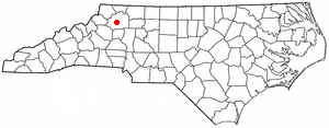
Millers Creek is a census-designated place (CDP) in Wilkes County, North Carolina, United States. The population was 2,112 at the 2010 census. West Wilkes High School, one of the four public high schools in Wilkes County, is located in Millers Creek.


