Frontino, Antioquia

Last updated
Frontino, Antioquia
Municipality and town
SECTOR URBANO DE FRONTINO.JPG
View of Frontino
Flag of Frontino.svg
Escudo Frontino.jpg
Colombia - Antioquia - Frontino.svg
Location of the municipality and town of Frontino, Antioquia in the Antioquia Department of Colombia
Colombia location map.svg
Red pog.svg
Frontino, Antioquia
Location in Colombia
Coordinates: 6°46′43″N76°7′53″W / 6.77861°N 76.13139°W / 6.77861; -76.13139
CountryFlag of Colombia.svg  Colombia
Department Flag of Antioquia Department.svg Antioquia Department
Subregion Western
Area
[1]
  Total1,263 km2 (488 sq mi)
Population
 (Census 2018 [2] )
  Total20,156
  Density16/km2 (41/sq mi)
Time zone UTC-5 (Colombia Standard Time)


Frontino is a municipality in the Colombian department of Antioquia. The population was 20,156 at the 2018 census.

Climate

Climate data for Frontino (Musinga), elevation 1,330 m (4,360 ft), (1981–2010)
MonthJanFebMarAprMayJunJulAugSepOctNovDecYear
Mean daily maximum °C (°F)25.4
(77.7)
25.8
(78.4)
25.9
(78.6)
25.5
(77.9)
25.3
(77.5)
25.2
(77.4)
25.3
(77.5)
25.4
(77.7)
25.1
(77.2)
24.9
(76.8)
24.7
(76.5)
24.8
(76.6)
25.3
(77.5)
Daily mean °C (°F)19.9
(67.8)
20.0
(68.0)
20.2
(68.4)
20.1
(68.2)
20.0
(68.0)
19.9
(67.8)
19.9
(67.8)
20.0
(68.0)
19.9
(67.8)
19.8
(67.6)
19.8
(67.6)
19.8
(67.6)
19.9
(67.8)
Mean daily minimum °C (°F)15.2
(59.4)
15.1
(59.2)
15.5
(59.9)
15.9
(60.6)
15.9
(60.6)
15.8
(60.4)
15.6
(60.1)
15.7
(60.3)
15.7
(60.3)
15.6
(60.1)
15.7
(60.3)
15.5
(59.9)
15.6
(60.1)
Average precipitation mm (inches)72.3
(2.85)
88.0
(3.46)
107.1
(4.22)
211.6
(8.33)
301.6
(11.87)
274.5
(10.81)
215.5
(8.48)
211.9
(8.34)
224.9
(8.85)
243.0
(9.57)
223.8
(8.81)
128.4
(5.06)
2,302.4
(90.65)
Average precipitation days (≥ 1.0 mm)121215222523222223252419244
Average relative humidity (%)86868687888887888887888787
Mean monthly sunshine hours 158.1146.8127.199.0102.3120.0139.5133.3108.0114.7123.0145.71,517.5
Mean daily sunshine hours 5.15.24.13.33.34.04.54.33.63.74.14.74.2
Source: Instituto de Hidrologia Meteorologia y Estudios Ambientales [3]

Related Research Articles

<span class="mw-page-title-main">Ciudad Bolívar, Antioquia</span> Municipality and town in Antioquia Department, Colombia

Bolívar is a town and municipality in Antioquia Department, Colombia. Part of the sub-region of Southwestern Antioquia, it is known as the birthplace of professional international cyclists Carlos Betancur and Julián Arredondo.

<span class="mw-page-title-main">Cañasgordas</span> Municipality and town in Antioquia Department, Colombia

Cañasgordas is a town and municipality in Antioquia Department, Colombia. The population was 13,595 at the 2018 census.
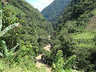
<span class="mw-page-title-main">Dabeiba</span> Municipality and town in Antioquia Department, Colombia

Dabeiba is a town and municipality in the Colombian department of Antioquia. The population was 22,717 at the 2018 census. The Battle of Dabeiba took place there in October 2000.

<span class="mw-page-title-main">Jericó, Antioquia</span> Municipality and town in Antioquia Department, Colombia

Jericó is a town, municipality and Catholic bishopric in the Colombian department of Antioquia. It is part of the subregion of Southwestern Antioquia. The distance reference from Medellín city, the capital of the department, is 104 km. It lies 1,910 m above sea level.

<span class="mw-page-title-main">Sopetrán</span> Municipality and town in Antioquia Department, Colombia

Sopetrán is a municipality of Colombia, located in the subregion west of the state of Antioquia. It is bounded to the north by the municipality of Olaya, to the east by the municipality of Belmira, to the south by the municipalities of San Jerónimo and Ebéjico, and to the west by the municipality of Santa Fe de Antioquia. The population was 13,748 at the 2018 census. It is 59 kilometers from the city of Medellin, the state capital of Antioquia. The municipality of Sopetrán has an area of 223 square kilometers.

<span class="mw-page-title-main">Urrao</span> Municipality & Town in Antioquia Department, Colombia

Urrao is a town and municipality of Colombia, located in the subregion southwest of the department of Antioquia. Limited by the north with the municipalities of Frontino and Abriaquí, in the east with the municipalities of Abriaquí, Caicedo, Anzá, Betulia and Salgar, and in the south and west with Vigía del Fuerte and the department of Chocó. It is the second largest municipality in the department. As of 2015, the population comprised 44,648 people. Professional cyclist Rigoberto Urán was born and raised here.

<span class="mw-page-title-main">Necoclí</span> Municipality and town in Antioquia Department, Colombia

Necoclí is a town and municipality in Antioquia Department, Colombia. Located on the eastern shore of the Gulf of Urabá, it is part of the Urabá Antioquia sub-region. The population is predominantly Afro-Colombian.

<span class="mw-page-title-main">Vélez, Santander</span> Municipality and town in Santander Department, Colombia

Vélez is a town and municipality of the Santander Department in northeastern Colombia.

<span class="mw-page-title-main">Manaure, Cesar</span> Town in Caribbean, Colombia

Manaure also known as Balcón del Cesar is a Colombian town and municipality located in the northeastern region of the Cesar Department on the Serranía del Perijá.
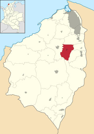
<span class="mw-page-title-main">Polonuevo</span> Municipality and town in Caribbean, Colombia

Polonuevo is a municipality and town in the Colombian department of Atlántico.

<span class="mw-page-title-main">Málaga, Santander</span> Municipality and town in Santander Department, Colombia

Málaga is a town and municipality in the Santander Department in northeastern Colombia.
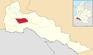
<span class="mw-page-title-main">Puerto Caicedo</span> Municipality and town in Putumayo Department, Colombia

Puerto Caicedo is a town and municipality located in the Putumayo Department, Republic of Colombia.

<span class="mw-page-title-main">Caloto, Cauca</span> Municipality and town in Cauca Department, Colombia

Caloto is a town and municipality in the Cauca Department, Colombia. It was founded on June 29, 1543 by Sebastián de Belalcázar.

<span class="mw-page-title-main">Puracé, Cauca</span> Municipality and town in Cauca Department, Colombia

Puracé is a town and municipality in the Cauca Department, Colombia.

<span class="mw-page-title-main">Rosas, Cauca</span> Municipality and town in Cauca Department, Colombia

Rosas is a town and municipality in the Cauca Department, Colombia.

<span class="mw-page-title-main">Sotará, Cauca</span> Municipality and town in Cauca Department, Colombia

Sotará is a town and municipality in the Cauca Department, Colombia.

<span class="mw-page-title-main">Palestina, Huila</span> Municipality and town in Huila Department, Colombia

Palestina is a town and municipality in the Huila Department, Colombia.

<span class="mw-page-title-main">Saladoblanco</span> Municipality and town in Huila Department, Colombia

Saladoblanco is a town and municipality in the Huila Department, Colombia.

<span class="mw-page-title-main">Calima, Valle del Cauca</span> Municipality in Valle del Cauca Department, Colombia

Calima is a municipality located in the Department of Valle del Cauca, Colombia. Its main urban area is the town of Darién.

<span class="mw-page-title-main">Villa Rica, Cauca</span> Municipality and town in Cauca Department, Colombia

Villa Rica is a town and municipality in the Cauca Department, Colombia. The municipality has a Baháʼí House of Worship in the vereda Agua Azul.

References

  1. "Municipalities of Colombia". statoids. Retrieved 28 April 2020.
  2. "Censo Nacional de Población y Vivienda 2018" (in Spanish). DANE . Retrieved 28 April 2020.
  3. "Promedios Climatológicos 1981–2010" (in Spanish). Instituto de Hidrologia Meteorologia y Estudios Ambientales. Archived from the original on 15 August 2016. Retrieved 3 June 2024.

6°47′N76°08′W / 6.783°N 76.133°W / 6.783; -76.133