Santa Fe de Antioquia is a municipality in the Antioquia Department, Colombia. The city is located approximately 58 kilometres (36 mi) north of Medellín, the department capital. It has a population of approximately 23,000 inhabitants.

Arboletes is a town and municipality in the subregion of Urabá in Antioquia Department, Colombia.

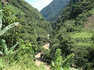
Cañasgordas is a town and municipality in Antioquia Department, Colombia.

Caucasia is a municipality located in the subregion of Bajo Cauca Antioquia department, in Colombia. Bounded on the south by the department of Córdoba, in the east by the municipalities of Antioquia in Nechí and El Bagre, on the north by the municipality of Zaragoza, and west to the town of Cáceres, and is located 270 km from Medellín.

Cocorná is a town and municipality in the Colombian department of Antioquia. Part of the subregion of Eastern Antioquia.

Concepción is a town and municipality in the Colombian department of Antioquia. Part of the subregion of Eastern Antioquia.
Dabeiba is a town and municipality in the Colombian department of Antioquia. The Battle of Dabeiba took place there in October 2000.
Gómez Plata is a town and municipality in the Colombian department of Antioquia. Part of the subregion of Northern Antioquia.

Granada is a town and municipality in the Colombian department of Antioquia. It is part of the subregion of Eastern Antioquia. For More Info Amigranada
La Unión is a town and municipality in the Colombian department of Antioquia. It is part of the subregion of Eastern Antioquia.

≥

Nariño is a town and municipality in the Colombian department of Antioquia. Part of the subregion of Eastern Antioquia.

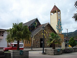
San Vicente Ferrer is a town and municipality in Antioquia Department, Colombia. The town of San Vicente is part of the sub-region of Eastern Antioquia.

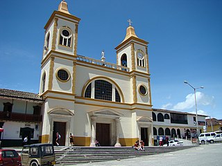
Sonsón is a municipality in the Colombian department of Antioquia. Sonsón is located in Eastern Antioquia. It is one of the seats of the Roman Catholic Diocese of Sonsón–Rionegro. Sonsón celebrates "Las Fiestas Del Maíz"- during the month of August, being the most traditional, historical and representative festival in western Colombia.

San Roque is a town and municipality in the Colombian department of Antioquia. It is part of the subregion of Northeastern Antioquia. The municipality was founded by Francisco Martinez de Ospina on the 8 February 1880. The town is located between the Nare River and the Nus River. The town was created due to the presence of gold in the areas around the town. The town is located 121km north of Medellín. The people of this town celebrate most of the traditional festivals that are celebrated in Colombia.

Sopetrán is a municipality of Colombia, located in the subregion west of the state of Antioquia. It is bounded to the north by the municipality of Olaya, to the east by the municipality of Belmira, to the south by the municipalities of San Jerónimo and Ebéjico, and to the west by the municipality of Santa Fe de Antioquia. It is 59 kilometers from the city of Medellin, the state capital of Antioquia. The municipality of Sopetrán has an area of 223 square kilometers.

Urrao is a town and municipality of Colombia, located in the subregion southwest of the department of Antioquia. Limited by the north with the municipalities of Frontino and Abriaquí, in the east with the municipalities of Abriaquí, Caicedo, Anzá, Betulia and Salgar, and in the south and west with Vigía del Fuerte and the department of Chocó. It is the second largest municipality in the department. Professional cyclist Rigoberto Urán was born and raised here.

Valdivia is a town and municipality in Antioquia Department, Colombia. Part of the subregion of Northern Antioquia.

Cisneros is a town and municipality in the Antioquia Department, Colombia. Part of the subregion of Northeastern Antioquia.

Southwestern Antioquia is a subregion in the Colombian Department of Antioquia. The region is made up of 24 municipalities and is part of the Colombian Coffee Region.