Hampton | |
---|---|
Coordinates: 45°50′N64°35′W / 45.84°N 64.59°W | |
Country | Canada |
Province | New Brunswick |
County | Kings County |
Erected | 1795 |
Area | |
• Land | 121.24 km2 (46.81 sq mi) |
Population (2021) [1] | |
• Total | 2,969 |
• Density | 24.5/km2 (63/sq mi) |
• Change 2016-2021 | 5.7% |
• Dwellings | 1,216 |
Time zone | UTC-4 (AST) |
• Summer (DST) | UTC-3 (ADT) |
Figures do not include portions within the towns of Hampton and Quispamsis |
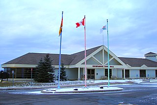
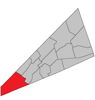
Hampton is a geographic parish in Kings County, New Brunswick, Canada. [2]
Prior to the 2023 governance reform, it was divided for governance purposes between the towns of Hampton and Quispamsis and the local service district of the parish of Hampton, which further included the service area of Fairmont Subdivision. Hampton and the LSD were members of Kings Regional Service Commission (RSC8), while Quispamsis was a member of the Fundy Regional Service Commission (FRSC). [3]
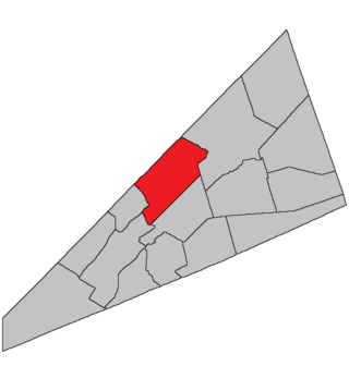
Ganong believed the name "perhaps" came from Hampton near London. [4] The name was common in the Thirteen Colonies.
Notable is that the names of Kings County's pre-1800 parishes all occur in both New Jersey and North Carolina. [5]
Hampton was erected in 1795 from Sussex Parish and Kingston Parish. [6] It included Rothesay and Upham Parishes.
In 1835 Upham was erected as its own parish. [7]
In 1870 Rothesay was erected as its own parish. [8]
In 1873 the boundary with Rothesay was altered, specifying the path through the islands in the river and changing the mainland portion to follow grant lines rather than the road to Golden Grove. [9]
In 1897 the boundary with Upham was altered. [10]
Hampton Parish is bounded: [2] [11] [12] [13]
Communities at least partly within the parish; [11] [12] [13] bold indicates an incorporated municipality
|
Bodies of water [lower-alpha 2] at least partly in the parish: [11] [12] [13]
|
|
Islands at least partly in the parish. [11] [12] [13]
Parish population total does not include portions within the town of Hampton and Quispamsis
Highways and numbered routes that run through the parish, including external routes that start or finish at the parish limits: [17]
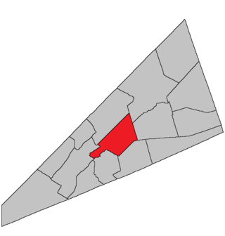
Springfield is a geographic parish in Kings County, New Brunswick, Canada.
Quispamsis is a suburban town located in Kings County, New Brunswick, Canada. Located within Saint John's metropolitan area, it borders the town of Rothesay to form the Kennebecasis Valley and is located along the lower Kennebecasis River. As of 2021, the population of Quispamsis was 18,768.
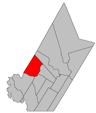
Southampton is a geographic parish in York County, New Brunswick, Canada.
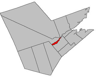
Saint-Jacques is a geographic parish in Madawaska County, New Brunswick, Canada. The parish consists of two discontiguous portions separated by Saint-Joseph Parish.
Saint-Basile is a geographic parish in Madawaska County, New Brunswick, Canada.
Sainte-Anne is a geographic parish in Madawaska County, New Brunswick, Canada.
Saint-Léonard is a geographic parish in Madawaska County, New Brunswick, Canada.
Derby is a geographic parish in Northumberland County, New Brunswick, Canada.
Drummond is a geographic parish in Victoria County, New Brunswick, Canada.
Waterford is a geographic parish in Kings County, New Brunswick, Canada.
Hammond is a geographic parish in Kings County, New Brunswick, Canada.
Cardwell is a geographic parish in Kings County, New Brunswick, Canada, located on the eastern border of the county.
Studholm is a geographic parish in Kings County, New Brunswick, Canada.
Sussex is a geographic parish in Kings County, New Brunswick, Canada.
Norton is a geographic parish in Kings County, New Brunswick, Canada.
Upham is a geographic parish in Kings County, New Brunswick, Canada.
Rothesay is a geographic parish in Kings County, New Brunswick, Canada.
Westfield is a geographic parish in Kings County, New Brunswick, Canada.
Kingston is a geographic parish in Kings County, New Brunswick, Canada.
Saint Patrick is a geographic parish in Charlotte County, New Brunswick, Canada, located west of St. George and Saint Andrews.