Hendrum | |
---|---|
Coordinates: 47°15′51″N96°48′38″W / 47.26417°N 96.81056°W | |
Country | United States |
State | Minnesota |
County | Norman |
Area | |
• Total | 0.25 sq mi (0.65 km2) |
• Land | 0.25 sq mi (0.65 km2) |
• Water | 0.00 sq mi (0.00 km2) |
Elevation | 873 ft (266 m) |
Population | |
• Total | 289 |
• Estimate (2021) [3] | 287 |
• Density | 1,142.29/sq mi (441.43/km2) |
Time zone | UTC-6 (CST) |
• Summer (DST) | UTC-5 (CDT) |
ZIP code | 56550 |
Area code | 218 |
FIPS code | 27-28484 |
GNIS feature ID | 0644871 [4] |
Website | hendrummn.com |
Hendrum is a city in Norman County, Minnesota, United States, in the Red River Valley between the Red River of the North and the Wild Rice River. The population was 289 as of the 2020 census. [2]
Hendrum was laid out in 1881. [5] The original location of Hendrum was in the neighborhood of the Great Northern Railroad bridge, two miles north of the present site of Hendrum. Complications with the railroad company set in, and the village was moved to its present location. The name was taken from the name of the town in Norway from which came Johannes Hagen, namely Hindrumgaard. Incorporation of the village came about in 1891. [6]
According to the United States Census Bureau, the city has a total area of 0.33 square miles (0.85 km2), all land. [7]
Census | Pop. | Note | %± |
---|---|---|---|
1910 | 355 | — | |
1920 | 354 | −0.3% | |
1930 | 326 | −7.9% | |
1940 | 341 | 4.6% | |
1950 | 352 | 3.2% | |
1960 | 305 | −13.4% | |
1970 | 311 | 2.0% | |
1980 | 336 | 8.0% | |
1990 | 309 | −8.0% | |
2000 | 315 | 1.9% | |
2010 | 307 | −2.5% | |
2020 | 289 | −5.9% | |
2021 (est.) | 287 | [3] | −0.7% |
U.S. Decennial Census [8] 2020 Census [2] |
As of the census of 2010, there were 307 people, 124 households, and 82 families residing in the city. The population density was 930.3 inhabitants per square mile (359.2/km2). There were 143 housing units at an average density of 433.3 per square mile (167.3/km2). The racial makeup of the city was 94.8% White, 0.7% Native American, and 4.6% from other races. Hispanic or Latino of any race were 8.1% of the population.
There were 124 households, of which 30.6% had children under the age of 18 living with them, 53.2% were married couples living together, 8.1% had a female householder with no husband present, 4.8% had a male householder with no wife present, and 33.9% were non-families. 31.5% of all households were made up of individuals, and 12.1% had someone living alone who was 65 years of age or older. The average household size was 2.48 and the average family size was 3.12.
The median age in the city was 37.3 years. 27.7% of residents were under the age of 18; 7.7% were between the ages of 18 and 24; 23.2% were from 25 to 44; 27.7% were from 45 to 64; and 13.7% were 65 years of age or older. The gender makeup of the city was 49.5% male and 50.5% female.
As of the census of 2000, there were 315 people, 120 households, and 84 families residing in the city. The population density was 1,112.3 inhabitants per square mile (429.5/km2). There were 139 housing units at an average density of 490.8 per square mile (189.5/km2). The racial makeup of the city was 95.24% White, 1.59% Native American and 2.86% from other races. Hispanic or Latino of any race were 4.44% of the population.
There were 120 households, out of which 37.5% had children under the age of 18 living with them, 57.5% were married couples living together, 7.5% had a female householder with no husband present, and 30.0% were non-families. 27.5% of all households were made up of individuals, and 15.0% had someone living alone who was 65 years of age or older. The average household size was 2.63 and the average family size was 3.24.
The city's age distribution was 31.1% under the age of 18, 7.6% from 18 to 24, 29.2% from 25 to 44, 23.8% from 45 to 64, and 8.3% who were 65 years of age or older. The median age was 34 years. For every 100 females, there were 99.4 males. For every 100 females age 18 and over, there were 99.1 males.
The median income for a household in the city of Hendrum was $35,000, and the median income for a family was $44,167. Males had a median income of $32,000 versus $21,458 for females. The per capita income for the city was $14,530. About 6.3% of families and 9.7% of the population were below the poverty line, including 14.7% of those under age 18 and 7.1% of those age 65 or over.
Huntington is a city in Sebastian County, Arkansas, United States. It is part of the Fort Smith, Arkansas-Oklahoma Metropolitan Statistical Area. As of the 2010 Census the population was 635.
Colt is a town and an unincorporated area in St. Francis County, Arkansas, United States. The population was 378 at the 2010 census, an increase from 368 in 2000.
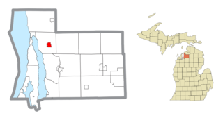
Central Lake is a village in Antrim County in the U.S. state of Michigan. The population was 952 at the 2010 census. The village is located within Central Lake Township.
Chickamaw Beach is a city in Cass County, Minnesota, United States. The population was 114 at the 2010 census. It is part of the Brainerd Micropolitan Statistical Area.
Garfield is a city in Douglas County, Minnesota, United States. The population was 349 at the 2020 census.
Racine is a city in Racine Township, Mower County, Minnesota, United States. The population was 442 at the 2010 census.
Bluffton is a city in Otter Tail County, Minnesota, United States, along the Leaf River. The population was 210 at the 2020 census.
Long Beach is a city in Pope County, Minnesota, United States. The population was 338 at the 2020 census.
Maplewood is a city in Ramsey County, Minnesota, United States. The population was 42,088 at the 2020 census. Maplewood is ten minutes' drive from downtown Saint Paul. It stretches along the northern and eastern borders of Saint Paul.
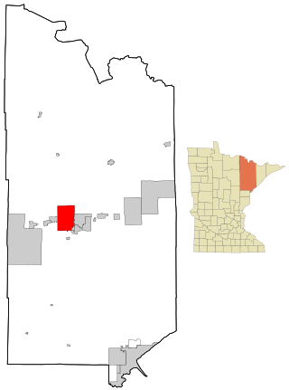
Mountain Iron is a city in Saint Louis County, Minnesota, United States, in the heart of the Mesabi Range. The population was 2,878 at the 2020 census.
Orr is a city in Saint Louis County, Minnesota, United States. The population was 211 at the 2020 census.
Winton is a city in Saint Louis County, Minnesota, United States. The population was 172 at the 2010 census. The city is home to a small hydroelectric dam on the edge of Garden Lake, one of 11 stations owned by Minnesota Power.
Greenwald is a city in Stearns County, Minnesota, United States. The population was 222 at the 2010 census. It is part of the St. Cloud Metropolitan Statistical Area.
Minnesota City is a city in Winona County, Minnesota, United States. The population was 202 at the 2020 census.
Verdel is a village in Knox County, Nebraska, United States. The population was 30 at the 2010 census.
Fifty Lakes is a city in Crow Wing County, Minnesota, United States. The population was 387 at the 2010 census. It is part of the Brainerd Micropolitan Statistical Area.
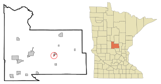
Genola is a city in Morrison County, Minnesota, United States. The population was 70 at the 2020 census.
Berrysburg is a borough in Dauphin County, Pennsylvania, United States. The population was 324 at the 2020 census. It is part of the Harrisburg–Carlisle Metropolitan Statistical Area.
Minnesota Lake is a city in Blue Earth and Faribault counties in the State of Minnesota. The population was 661 at the 2020 census. The bulk of the city is in Faribault County; a small part extends into Blue Earth County.
Dennison is a city in Goodhue and Rice counties in the U.S. state of Minnesota. The population was 212 at the 2010 census. Most of Dennison is in Goodhue County, with only a small part that extends into Rice County.