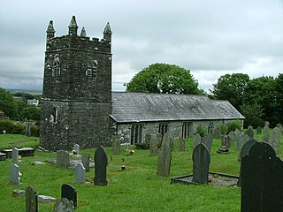
Warbstow is a village and civil parish in Cornwall, England, United Kingdom. The parish has a population of 439 according to the 2001 census, increasing to 520 at the 2011 census.

St Mewan is a civil parish and village in south Cornwall, England, United Kingdom.

Perranzabuloe is a coastal civil parish and a hamlet in Cornwall, England, United Kingdom. Perranzabuloe parish is bordered to the west by the Atlantic coast and St Agnes parish, to the north by Cubert parish, to the east by St Newlyn East and St Allen parishes and to the south by Kenwyn parish. The hamlet is situated just over a mile (2 km) south of the principal settlement of the parish, Perranporth; the hamlet is also seven miles (11 km) south-southwest of Newquay. Other settlements in the parish include Perrancoombe, Goonhavern, Mount and Callestick. The parish population was 5,382 in the 2001 census, increasing to 5,486 at the 2011 census.
Lank is a settlement in Cornwall, England, United Kingdom. It is situated approximately one mile (1.6 km) south of St Breward and six miles (10 km) east-northeast of Wadebridge in St Breward civil parish. It is in the civil parish of Blisland.

St Austell Bay is a bay on Cornwall's south coast which is bounded to the east by Gribbin Head and to the west by Black Head.

St Dominic is a civil parish and village in Cornwall, England, United Kingdom. The village is situated 2 1⁄2 miles (4.0 km) east of Callington and five miles (8 km) north of Saltash.

Degibna is a hamlet in the parish of Helston, Cornwall, England, UK. It lies on the eastern bank of the largest natural freshwater lake in Cornwall, The Loe, and forms part of the Penrose Estate.

Goonvrea is a hamlet in the parish of St Agnes, Cornwall, England.

Gummow's Shop is a hamlet in the civil parish of St Newlyn East in mid Cornwall, England, UK. It is on the A3058 road southeast of Kestle Mill. Before 1938, there was a blacksmith in the building now known as "The Old Smithy". It is in the civil parish of Cubert
Higher Bal is a hamlet in the parish of St Agnes, Cornwall, England.
Higher Boscaswell is a hamlet near Pendeen in west Cornwall, England. It is east of Pendeen and on the B road from St Ives to St Just. Higher Boscaswell is included in the St Just in Penwith division on Cornwall Council.
Higher Condurrow is a hamlet in the parish of Camborne, Cornwall, England.

Higher Downs is a moorland in the parish of Morvah in west Cornwall, England.
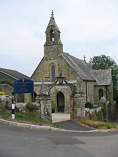
Higher Porthpean is a village south of Duporth and contiguous with Lower Porthpean in Cornwall, England. It has a small church, dedicated to St Levan that is a Grade II building, and that seats 48 people. The church is a Chapel of ease to St Austell Parish Church
Higher Tolcarne is a hamlet in Cornwall, England]. It is near St Mawgan; Tolcarne was one of the two Cornish manors of this name recorded in the Domesday Book, 1086. It is in the civil parish of Mawgan in Pydar
Higher Tremarcoombe is a hamlet in the parish of St Cleer, Cornwall, England.

Porthmeor consists of two farms, Higher and Lower Porthmeor, in the parish of Zennor in Cornwall, England. It should not be confused with Porthmeor beach at St Ives. Higher Porthmeor lies along the B3306 road which connects St Ives to the A30 road and Lower Porthmeor is nearer the coast.
Rosecare is a hamlet in the parish of St Gennys, Cornwall, England. Rosecare is east of Higher Crackington.

Tolcarne is the name of a number of places in Cornwall, United Kingdom. The name Tolcarne is derived from Cornish Talkarn i.e. "hill-brow tor". A carn is a pile of stones and is the same as tor in Devon.

Higher Town is the easternmost and largest settlement on the island of St Martin's in the Isles of Scilly, England. It is situated just inland, though the more modern of the island's two quays is located just south of the settlement and is named Higher Town Quay.
