
Araras is a municipality located in the interior of State of São Paulo, Brazil. The population is 135,506 as of the 2020 IBGE estimate.

Adamantina is a municipality in the state of São Paulo, Brazil. The population is 35,111 in an area of 412.0 km2.

Alfredo Marcondes is a Brazilian municipality located in the state of São Paulo. The population is 4,184 in an area of 119 km².

Cotia is a municipality in the state of São Paulo in Brazil. It is part of the Metropolitan Region of São Paulo. The population is 253,608 in an area of 323.99 km2. The city is at an elevation of 853 m. Cotia is linked with the Rodovia Raposo Tavares highway.

Cedral is a municipality in the state of São Paulo, Brazil. The population is 9,346 in an area of 197.9 km². The municipality belongs to the mesoregion and microregion of São José do Rio Preto.

Artur Nogueira is a city in the state of São Paulo in Brazil. It is part of the Metropolitan Region of Campinas. The population is 55,340 in an area of 178.03 km2. The elevation is 595 m.
Bálsamo is a municipality in the state of São Paulo, Brazil. The population is 9,139 in an area of 149.9 km². The municipality belongs to the Mesoregion and Microregion of São José do Rio Preto.

Cosmópolis is a municipality in the state of São Paulo in Brazil. It is part of the Metropolitan Region of Campinas. The population is 73,474 in an area of 154.67 km². The elevation is 652 m.

Elias Fausto is a municipality in the state of São Paulo in Brazil. The population is 17,936 in an area of 202 km2. The elevation is 605 m.
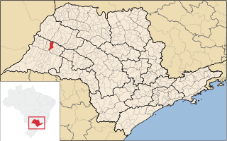
Flórida Paulista is a municipality in the state of São Paulo in Brazil. The population is 14,790 in an area of 524 km². The elevation is 410 metres (1,350 ft).

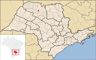
Álvaro de Carvalho is a municipality in the state of São Paulo in Brazil. The population is 5,274 in an area of 154 km2.

Ibirarema is a municipality in the state of São Paulo in Brazil. The population is 7,841 in an area of 228 km². The elevation is 483 m.

Iepê is a municipality in the state of São Paulo in Brazil. The population is 8,194 in an area of 595 km². The elevation is 400 m.

Iperó is a municipality in the state of São Paulo in Brazil. It is part of the Metropolitan Region of Sorocaba. The population is 37,964 in an area of 170.29 km². The elevation is 590 m. The Sorocaba River flows near Iperó. Iperó is accessed with the highway SP-280.

Jandira is a municipality in the state of São Paulo in Brazil. It is part of the Metropolitan Region of São Paulo. The population is 126,356 in an area of 17.45 km2. The suburban city is served by the ViaMobilidade with line 8.

Votorantim is a city located at the southwest of São Paulo State in Brazil. It is part of the Metropolitan Region of Sorocaba. The population is 123,599. The city is located about 100 km (62 mi) away from the capital of the state. It has 147 km2 (57 sq mi) of rural area, 30 km2 (12 sq mi) of urban area and a total area of 183.52 km2 (70.86 sq mi).

Cordeirópolis is a municipality in São Paulo state, Brazil. The population is 24,826 in an area of 138 km2. Its elevation is 651 m.

Álvares Machado is a municipality in the state of São Paulo in Brazil. The population is 24,998 in an area of 348 km2.

Águas de Lindoia is a Brazilian municipality of the state of São Paulo. The population is 18,808 in an area of 60.1 km2. It is a tourist spot in part due to its hot springs, being part of the Circuito das Águas, also including the cities of Amparo, Jaguariúna, Lindoia, Monte Alegre, Pedreira, Serra Negra and Socorro.

Conchal is a municipality in São Paulo, Brazil. The population is 28,273 in an area of 182.8 km2. The elevation is 591 m.


