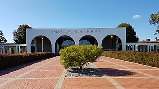
Balcatta is a suburb of Perth, Western Australia. Its local government area is the City of Stirling. It is a primarily middle-class suburb made up of mainly Italian, Greek and Macedonian families, as well as many families from other European countries. It is also one of the largest suburbs in the northern part of the Perth metropolitan area. Much of Balcatta is a commercial and industrial area.
Balga is a suburb of Perth, the capital city of Western Australia, 13 kilometres (8 mi) north of Perth city's central business district (CBD). Its local government area is the City of Stirling. Mark Irwin is the current mayor.
Dianella is a suburb of Perth, Western Australia. It is within the local government area of the City of Stirling.

Mirrabooka is a suburb of Perth, Western Australia. Its local government area is the City of Stirling. At the 2021 census it had a population of 8,000 people.

Tuart Hill is a suburb of Perth, Western Australia.

Marangaroo is a suburb of Perth, Western Australia. It is located approximately 18 km north of Perth City, within the City of Wanneroo. Marangaroo's borders comprise Wanneroo Road, Hepburn Avenue, Mirrabooka Avenue and Marangaroo Drive.

Kensington is a residential suburb 3 km from Perth's central business district. Kensington is located within the City of South Perth and Town of Victoria Park local government areas.

Ballajura is a suburb of Perth, Western Australia, in the City of Swan local government area. Ballajura is located 14 kilometres (8.7 mi) north of the Perth CBD. The postcode for the suburb is 6066.

Burswood is an inner southeastern suburb of Perth, Western Australia, located immediately across the Swan River from Perth's central business district (CBD). Its local government area is the Town of Victoria Park. Burswood is the location of the State Tennis Centre, Perth Stadium, Belmont Park Racecourse, and the Crown Perth casino and hotel complex.

Alexander Heights is a suburb of Perth, Western Australia within the City of Wanneroo.

Kelmscott is a southeastern suburb of Perth, Western Australian within the local government area of the City of Armadale. It is 23 kilometres (14 mi) southeast of Perth along the Albany Highway.

Cannington is a southern suburb of Perth, Western Australia. Its local government area is the City of Canning.
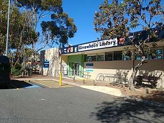
Girrawheen is a northern suburb of Perth, the capital city of Western Australia. Its local government area is the City of Wanneroo.

Wangara is a light industrial suburb of Perth, Western Australia, located within the City of Wanneroo.

North Perth is a suburb of Perth, Western Australia, located within the City of Vincent.
Maddington is a suburb 20 kilometres (12 mi) southeast of the central business district of Perth, the capital of Western Australia, within the City of Gosnells local government area. Maddington is a mixed-use suburb containing major residential, retail and industrial sections as well as some semi-rural areas.

Stirling is a suburb of Perth, the capital city of Western Australia, about 10 km north of Perth's central business district (CBD) along the Mitchell Freeway. Its local government area is the City of Stirling, whose council offices and administration centre are located in the southwest of the mostly residential suburb.

Alexander Drive is a major north–south arterial road in the northern suburbs of Perth, Western Australia, connecting Perth's central business district (CBD) with Edith Cowan University's Mount Lawley campus and the Malaga industrial area, as well as newer development suburbs to Perth's north. It is used by Transperth bus routes, including the 360, 361 and 362. Alexander Drive was named after Mr S.B. Alexander, a former Wanneroo Road Board member. Alexander Drive runs through the following local government areas City of Wanneroo, City of Swan, City of Bayswater and City of Stirling.

Perth is a suburb in the Perth metropolitan region, Western Australia that includes both the central business district of the city, and a suburban area spreading north to the northern side of Hyde Park. It does not include the separate suburbs of Northbridge or Highgate. Perth is split between the City of Perth and the City of Vincent local authorities, and was named after the city of the same name in Scotland.

Northbridge is an inner city suburb of Perth, Western Australia, historically separated from Perth's central business district by the Fremantle and Joondalup railway lines. It is part of the City of Perth local government area.

