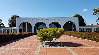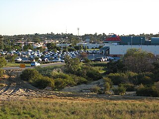
Balcatta is a suburb of Perth, Western Australia. Its local government area is the City of Stirling. It is a primarily middle-class suburb made up of mainly Italian, Greek and Macedonian families, as well as many families from other European countries. It is also one of the largest suburbs in the northern part of the Perth metropolitan area. Much of Balcatta is a commercial and industrial area.
Balga is a suburb of Perth, the capital city of Western Australia, 13 kilometres (8 mi) north of Perth city's central business district (CBD). Its local government area is the City of Stirling. Mark Irwin is the current mayor.
Dianella is a suburb of Perth, Western Australia. It is within the local government area of the City of Stirling.

Mount Lawley is an inner northern suburb of Perth, Western Australia. The suburb is bounded by the Swan River to the east, Vincent, Harold and Pakenham Streets to the south, Central Avenue and Alexander Drive to the north, and Norfolk Street to the west.

Nollamara is a suburb of Perth, Western Australia. Its local government area is the City of Stirling.

Westminster is a suburb approximately 12 kilometres north of Perth, Western Australia. Its local government area is the City of Stirling.

Marangaroo is a suburb of Perth, Western Australia. It is located approximately 18 km north of Perth City, within the City of Wanneroo. Marangaroo's borders comprise Wanneroo Road, Hepburn Avenue, Mirrabooka Avenue and Marangaroo Drive.

Ballajura is a suburb of Perth, Western Australia, in the City of Swan local government area. Ballajura is located 14 kilometres (8.7 mi) north of the Perth central business district. Situated on its side of its western boundary with Koondoola is Emu Swamp.

Alexander Heights is a suburb of Perth, Western Australia within the City of Wanneroo.
Darch is a suburb of Perth, Western Australia, located within the City of Wanneroo approximately 17 kilometres (11 mi) north of the central business district. Previously part of Landsdale, much of the suburb was rural in character until the late 1990s. It was named after an early settler family in the area, with the name being approved in 1997. The area was subsequently opened to residential development, especially from 2001 onwards, as part of Cell 6 of the East Wanneroo Development Area.

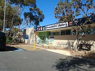
Girrawheen is a northern suburb of Perth, the capital city of Western Australia. Its local government area is the City of Wanneroo.
Koondoola is a suburb of Perth, Western Australia, located within the City of Wanneroo. Its postcode is 6064.
Landsdale is a northern suburb of Perth, Western Australia located within the local government area of the City of Wanneroo. It is mixed use, with residential, commercial and light manufacturing areas.

Madeley is a suburb of Perth, the capital city of Western Australia 20 kilometres (12 mi) north of Perth's central business district. Its local government area is the City of Wanneroo. Previously part of Landsdale, much of the suburb was rural in character until the 1990s, with market gardening a common activity. From 2001 onwards, extensive property development resulted in massive population growth, with the Property Investor Magazine of December 2007 estimating a growth rate of 33.3% per year.

Wangara is a light industrial suburb of Perth, Western Australia, located within the City of Wanneroo.

North Perth is a suburb of Perth, Western Australia, located within the City of Vincent.

Malaga is a suburb of Perth, Western Australia, approximately 11 kilometres (6.8 mi) north of the CBD, in the City of Swan.

Beechboro is a suburb of Perth, Western Australia, located within the City of Swan.
Kiara is a suburb of Perth, Western Australia, situated approximately 11 kilometres (7 mi) northeast of Perth's central business district and 8 kilometres (5 mi) from Midland, and located within the City of Swan local government area.

Perth is a suburb in the Perth metropolitan region, Western Australia that includes both the central business district of the city, and a suburban area spreading north to the northern side of Hyde Park. It does not include the separate suburbs of Northbridge or Highgate. Perth is split between the City of Perth and the City of Vincent local authorities, and was named after the city of the same name in Scotland.


