
Naracoorte is a town in the Limestone Coast region of South Australia, approximately 336 kilometres south-east of Adelaide and 100 kilometres north of Mount Gambier on the Riddoch Highway (A66).

The Naracoorte Lucindale Council is a local government area in the Australian state of South Australia located in the Limestone Coast region in the south-east of the state adjacent to the Victorian border.
Lucindale is a small town in the south-east of South Australia. The town is located 345 kilometres (214 mi) south east of the state capital, Adelaide. At the 2006 census, Lucindale had a population of 301. The town is best known for hosting the annual South East Field Days, attracting over 26,000 visitors every March.

Avenue Range is a locality in the Australian state of South Australia located in the state's south-east within the Limestone Coast region about 265 kilometres south east of the Adelaide city centre.

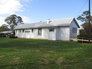
Binnum is a locality in the Australian state of South Australia.

Frances is a town in the Australian state of South Australia located about 291 kilometres (181 mi) south-east of the state capital, Adelaide and about 40 kilometres (25 mi) north-east of the municipal seat of Naracoorte in the state's Limestone Coast region and adjoining the border with the State of Victoria.
Hynam is a town and locality in the Australian state of South Australia located in the state's south-east within the Limestone Coast region on the border with the state of Victoria about 302 kilometres south east of the state capital of Adelaide and about 11 kilometres east of the municipal seat of Naracoorte.
Wrattonbully is a locality located within the Naracoorte Lucindale Council in the Limestone Coast in the south east of South Australia about 327 kilometres south east of the Adelaide city centre. Wrattonbully gives its name to the wine region surrounding it, the Wrattonbully wine region.

Bool Lagoon is a locality in the Australian state of South Australia located in the south-east of the state in the Limestone Coast region about 311 kilometres south east of the state capital of Adelaide.
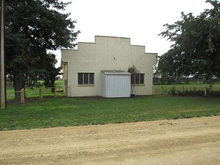
Keppoch is a locality in the Australian state of South Australia located in the state's south-east within the Limestone Coast region about 269 kilometres south east of the state capital of Adelaide and about 29 kilometres north-east of the municipal seat of Naracoorte.
Cadgee is a locality in the Australian state of South Australia located in the state's south-east within the Limestone Coast region about 280 kilometres south east of the state capital of Adelaide and about 18 kilometres north of the municipal seat of Naracoorte.
Stewart Range is a locality in the Australian state of South Australia located about 289 kilometres (180 mi) south-east of the state capital of Adelaide and about 12 kilometres (7.5 mi) west of the municipal seat of Naracoorte.
Joanna is a locality in the Australian state of South Australia located in the state's south-east within the state’s Limestone Coast region about 325 kilometres south east of the state capital of Adelaide, about 19.5 kilometres south-east of the municipal seat of Naracoorte.
Mount Light is a locality located within the Naracoorte Lucindale Council in the Limestone Coast region of South Australia.
Coles is a locality in the Australian state of South Australia located in the state's south-east within the Limestone Coast region about 316 kilometres (196 mi) south east of the state capital of Adelaide and about 39 kilometres (24 mi) south-west of the municipal seat of Naracoorte.
Fox is a locality in the Australian state of South Australia located in the state's south-east within the Limestone Coast region about 298 kilometres (185 mi) south east of the state capital of Adelaide and about 45 kilometres (28 mi) south-west of the municipal seat of Naracoorte.
Laurie Park is a locality located within the Naracoorte Lucindale Council in the Limestone Coast region of South Australia.

Lochaber is a locality located within the Naracoorte Lucindale Council in the Limestone Coast region of South Australia.
Woolumbool is a locality in the Australian state of South Australia located about 260 kilometres (160 mi) south-east of the state capital of Adelaide and about 39 kilometres (24 mi) west of the municipal seat in Naracoorte.
Clay Wells is a locality in the Australian state of South Australia located in the state's south-east within the Limestone Coast region about 300 kilometres (190 mi) south east of the state capital of Adelaide, and about 39 kilometres (24 mi) south-east and about 35 kilometres (22 mi) north-west respectively of the municipal seats of Robe and Millicent.

