| Lady's Wood | |
|---|---|
 | |
| Type | Nature reserve |
| Location | Upwood, Cambridgeshire |
| OS grid | TL 243 826 |
| Area | 7.1 hectares |
| Managed by | Wildlife Trust for Bedfordshire, Cambridgeshire and Northamptonshire |
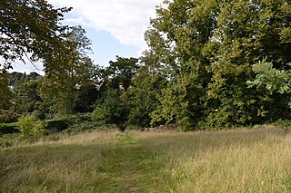
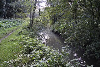
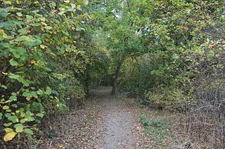
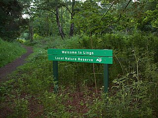
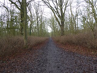
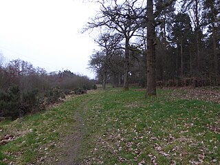
Lady's Wood is a 7.1 hectare nature reserve west of Upwood in Cambridgeshire. It is managed by the Wildlife Trust for Bedfordshire, Cambridgeshire and Northamptonshire. [1]

Upwood is a village in the non-metropolitan district and historic county of Huntingdonshire, England, although in the administrative county of Cambridgeshire. Upwood lies approximately 7 miles (11 km) north of Huntingdon, near Bury. Upwood is in the civil parish of Upwood and The Raveleys.

Cambridgeshire is a county in the East of England, bordering Lincolnshire to the north, Norfolk to the north-east, Suffolk to the east, Essex and Hertfordshire to the south, and Bedfordshire and Northamptonshire to the west. The city of Cambridge is the county town. Modern Cambridgeshire was formed in 1974 as an amalgamation of the counties of Cambridgeshire and Isle of Ely and Huntingdon and Peterborough, the former covering the historic county of Cambridgeshire and the latter covering the historic county of Huntingdonshire and the Soke of Peterborough, historically part of Northamptonshire. It contains most of the region known as Silicon Fen.
The Wildlife Trust for Bedfordshire, Cambridgeshire and Northamptonshire (WTBCN) is a registered charity which manages 126 nature reserves covering 3,945 hectares. It has over 35,000 members, and 95% of people in Bedfordshire, Cambridgeshire and Northamptonshire live within five miles of a reserve. In the year to 31 March 2016 it employed 105 people and had an income of £5.1 million. It aims to conserve wildlife, inspire people to take action for wildlife, offer advice and share knowledge. The WTBCN is one of 36 wildlife trusts covering England, and 47 covering the whole of the United Kingdom.
This wood was a traditional coppice, but many of the trees were cut down in the 1950s. Birds include blackcaps, fieldfares and green woodpeckers and there are invertebrates such as orange-tip butterflies and azure damselflies. [1]

Anthocharis cardamines, the orange tip, is a butterfly in the family Pieridae, which contains 1100 species of butterfly. A. cardamines is mainly found throughout Europe and temperate Asia (Palearctic) The males feature wings with a signature orange pigmentation, which is the origin of A. cardamines' common name.
There is access by a footpath from Bentley Close in Upwood.
| Wikimedia Commons has media related to Lady's Wood . |
