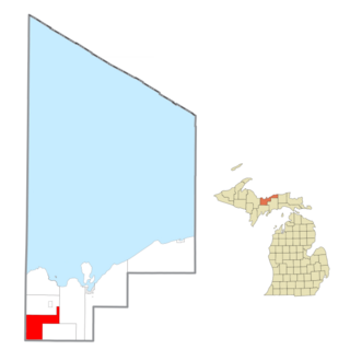
Limestone Township is a civil township of Alger County in the U.S. state of Michigan. The population was 392 in 2020.
Ash Creek is an unincorporated community in Clinton Township, Rock County, Minnesota, United States. The community took its name from nearby Ash Creek, a tributary of the Rock River.
Honey Creek is an unincorporated community in Pottawattamie County, Iowa, United States. Its elevation is 1,014 feet (309 m). Although it is unincorporated, it has a ZIP code 51542.
Lime Creek is a 28.6-mile-long (46.0 km) waterway of Minnesota and tributary of the Des Moines River.
Essig is an unincorporated community in Brown County, Minnesota, United States. Essig is located on U.S. Route 14, 7 miles (11 km) west of New Ulm. Essig has a post office with ZIP code 56030.

Miloma is an unincorporated community located in Jackson County, Minnesota, United States at latitude 43.763 and longitude -95.368. The elevation is 1,427 feet. Miloma appears on the Heron Lake U.S. Geological Survey Map.

Minnesota Junction is an unincorporated community located, in the town of Oak Grove, in Dodge County, Wisconsin, United States. Minnesota Junction is located on Wisconsin Highway 26. It is located at latitude 43.452 and longitude -88.697 at 925 feet above mean sea level.

Lawrence is an extinct village in section 16 of St. Lawrence Township, Scott County, in the U.S. state of Minnesota. The GNIS classifies it as a populated place.
Athol is an unincorporated community in Spink County, South Dakota, United States. It is part of Athol Township.
Amiret is an unincorporated community in Lyon County, in the U.S. state of Minnesota.
Burchard is an unincorporated community in Lyon County, in the U.S. state of Minnesota.
Cambria is an unincorporated community in Blue Earth County, in the U.S. state of Minnesota.
Smiths Mill is an unincorporated community in Blue Earth and Waseca counties in the U.S. state of Minnesota. The community is located along 631st Avenue near 206th Street and U.S. Highway 14. Smiths Mill is located within Le Ray Township in Blue Earth County; and also located within Janesville Township in Waseca County. Nearby places include Janesville and Eagle Lake.
Dudley is an unincorporated community in Lyon County, in the U.S. state of Minnesota.
Guckeen is an unincorporated community in Faribault County, in the U.S. state of Minnesota.
Judson is an unincorporated community in Blue Earth County, in the U.S. state of Minnesota.
Marna is an unincorporated community in Faribault County, in the U.S. state of Minnesota.
Plum Creek is a ghost town in Kossuth County, in the U.S. state of Iowa. A railroad station was once located at Plum Creek.
Grogan is an unincorporated community in Watonwan County, in the U.S. state of Minnesota.
Merriam was a town in Scott County, in the U.S. state of Minnesota. The town has since been closed altogether.


