
St. Clair or Saint Clair is a city in Blue Earth County, Minnesota, United States, located along the Le Sueur River. The population was 750 at the 2020 census. It is part of the Mankato-North Mankato Metropolitan Statistical Area.
Pillager is a city in Cass County, Minnesota, United States. Its population was 507 at the 2020 census. It is part of the Brainerd Micropolitan Statistical Area.

Clearbrook is a city in Clearwater County, Minnesota, United States. The population was 464 at the 2020 census.

Canton is a city in Fillmore County, Minnesota, United States. The population was 346 at the 2010 census.

Mabel is a city in Fillmore County, Minnesota, United States. The population was 780 at the 2010 census.

Lancaster is a city in Kittson County, Minnesota, United States. As of the 2020 census, the city population was 364.
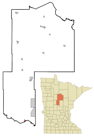
Granada is a city in Martin County, Minnesota, United States. The population was 291 at the 2020 census.

Chandler is a town in Murray County, Minnesota, United States. The population was 279 at the 2020 census.

Dovray is a city in Murray County, Minnesota, United States. The population was 58 at the 2020 census.
Dovray Township is a township in Murray County, Minnesota, United States. The population was 167 at the 2000 census. Dovray is located in Southwest Minnesota on the eastern side of Murray County. It is five minutes from Currie, fifteen minutes from Lake Shetek State Park, and twenty minutes northeast of Slayton.

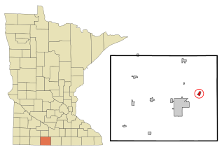
Fulda is a city in Murray County, Minnesota, United States. The population was 1,371 at the 2020 census, up from 1,318 in 2010.

Hadley is a city in Murray County, Minnesota, United States. The population was 54 at the 2020 census.

Iona is a city in Murray County, Minnesota, United States. The population was 166 at the 2020 census, up from 137 in 2010.
Slayton Township is a township in Murray County, Minnesota, United States. The population was 343 at the 2000 census.

Kerrick is a city in Pine County, Minnesota, United States. The population was 65 at the 2010 census.

Wabasha is a city and the county seat of Wabasha County, Minnesota, United States. The population was 2,559 at the time of the 2020 census. It is on the Mississippi River, near its confluence with the Zumbro River.

North Mankato is a city in Nicollet and Blue Earth counties in the State of Minnesota. The population was 14,275 at the 2020 census.
Pine Island is a city in Goodhue and Olmsted counties in the U.S. state of Minnesota. Most of Pine Island is in Goodhue County, but a small part extends into Olmsted County, making that portion part of the Rochester metropolitan area. As of the 2020 census, the population was 3,769.

Eden Valley is a city in Meeker and Stearns counties in the U.S. state of Minnesota. The population was 1,027 at the 2020 census. Most of Eden Valley is in Meeker County; the Stearns County portion is part of the St. Cloud Metropolitan Statistical Area.

Chatfield is a city in Fillmore and Olmsted counties in the U.S. state of Minnesota. The population was 2,997 at the 2020 census. The city's area is split almost equally between the two counties. Chatfield is known as "The Gateway to Bluff Country" and "The Chosen Valley".


