
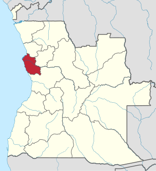
Zaire is one of the 18 provinces of Angola. It occupies 40,130 square kilometres (15,490 sq mi) in the north west of the country and had a population of 594,428 inhabitants in 2014. It is bordered on the west by the Atlantic Ocean, on the north by the Democratic Republic of Congo, on the east by the Uíge Province, and on the south by the Bengo Province.

Benguela is a province of Angola, situated in the west of the country. It lies on the Atlantic Ocean, and borders the provinces of Cuanza Sul, Namibe, Huila, and Huambo. The province has an area of 39,826 square kilometres (15,377 sq mi) and its capital is Benguela. According to the 2014 census, there were 2,231,385 inhabitants in the province. The current governor of Benguela is Isaac dos Anjos.

Bié is a province of Angola located on the Bié Plateau in central part of country. Its capital is Kuito, which was called Silva Porto until independence from Portugal in 1975. The province has an area of 70,314 square kilometres (27,148 sq mi) and a population of 1,455,255 in 2014. The current governor of Bié is José Amaro Tati.

Huambo is a province of Angola. With an area of 34,270 km2, it is one of the geographically smaller provinces, situated in the Central Region approximately 450 km south east of the capital, Luanda.
Luanda is a province of Angola. It covers an area of 18,835 km2, and had a population of 6,945,386 at the Census of 16 May 2014. The latest official estimate is 9,079,811.

Moxico or Moshiko is the largest province of Angola. It has an area of 223,023 square kilometres (86,110 sq mi), and covers 18% of the landmass of Angola. The province has a population of 758,568 and a population density of approximately 3.4 residents per km², making it one of the most sparsely populated areas of Angola. The population of the province is in flux; displaced residents have slowly returned to Moxico since the end of the Angolan Civil War in 2002. The war left Moxico as one of the most landmine-contaminated places in the world. The governor of the province is Gonçalves Manuel Muandumba.
The Archdiocese of Huambo is a Latin Metropolitan archdiocese of the Roman Catholic Church in western Angola.
Bailundo is a municipality, with a population of 294,494 (2014), and a town, with a population of 70,481 (2014), in the province of Huambo, Angola.
Andulo is a town and municipality in Bié Province in Angola. The municipality covers an area of 10,100 square kilometres (3,900 sq mi), with a Population of 258,161 in 2014. It is bordered to the north by the municipality of Mussende, to the east by the municipalities of Luquembo and Nharea, to the south by the municipalities of Cunhinga, Mungo and Bailundo and west by the municipalities of Cela and Quibala.
Calai is a town and municipality in Cuando Cubango Province in Angola.
Quirima is a town and municipality in the province of Malanje (Malange) in Angola. It covers an area of 10,077 square kilometres (3,891 sq mi) and its population as of 2014 is 21,134 inhabitants.
Cuilo is a town and municipality in Lunda Norte Province in Angola. The municipality had a population of 21,004 in 2014.
Ecunha is a town and municipality in the province of Huambo, Angola. The municipality had a population of 82,541 in 2014.
Cachiungo or Katchiungo is a town and municipality in the province of Huambo, Angola. The municipality had a population of 120,677 in 2014.

Londuimbali or Londuimbale is a town and municipality in the province of Huambo, Angola. The municipality had a population of 134,254 in 2014.
Mungo is a town and a municipality in the province of Huambo, Angola. The municipality had a population of 113,417 in 2014.
Chicala-Choloanga is a town and municipality in the province of Huambo, Angola.
Ucuma is a town and municipality in Huambo Province, Angola. The municipality had a population of 55,054 in 2014.

Quiçama, Quissama or Kisama is one of the nine municípios that make up the province of Luanda, as per the new administrative division of the province . It covers an area of 13,900 square kilometres (5,400 sq mi) and its population as of 2014 is 26,546. The municipal seat is the village of Muxima.
Cela is a município (municipality) in the province of Cuanza Sul in Angola. It covers an area of 4,610 square kilometres (1,780 sq mi) and its population is 225,520 in 2014.
