Lowry | |
|---|---|
| Lowry, South Dakota | |
 | |
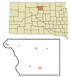 Location in Walworth County and the state of South Dakota | |
| Coordinates: 45°18′56″N99°58′52″W / 45.31556°N 99.98111°W | |
| Country | United States |
| State | South Dakota |
| County | Walworth |
| Area | |
• Total | 0.25 sq mi (0.66 km2) |
| • Land | 0.25 sq mi (0.66 km2) |
| • Water | 0.00 sq mi (0.00 km2) |
| Elevation | 1,864 ft (568 m) |
| Population | |
• Total | 10 |
| • Density | 39.53/sq mi (15.27/km2) |
| Time zone | UTC-6 (Central (CST)) |
| • Summer (DST) | UTC-5 (CDT) |
| ZIP code | 57472 |
| Area code | 605 |
| FIPS code | 46-39260 [4] |
| GNIS feature ID | 1267465 [2] |
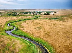
Lowry is a town in Walworth County, South Dakota, United States. The population was 10 at the 2020 census. [5] The town is home to Lowry Pilgrim Community Church, Swan Creek Harness Shop, J & C Repair, Karst Service (closed in August 2015) and a fire station. Lowry also has an abandoned school, and a post office, which closed to service in the early 1970s.
Contents
Lowry was founded in 1907 as a station stop on a branch line of the Minneapolis and St. Louis Railway built that year between Conde and LeBeau, South Dakota. The town was named in honor of a railroad employee. [6] Railway service to Lowry ended in 1940.
