Manchester, Houston

Last updated

Manchester is a community in southeastern Houston, Texas, United States.

Contents

Manchester has 6 square miles (16 km2) of area. [1] It is located in close proximity to the Houston Ship Channel, [2] and many chemical plants, refineries, and sewage facilities.

History

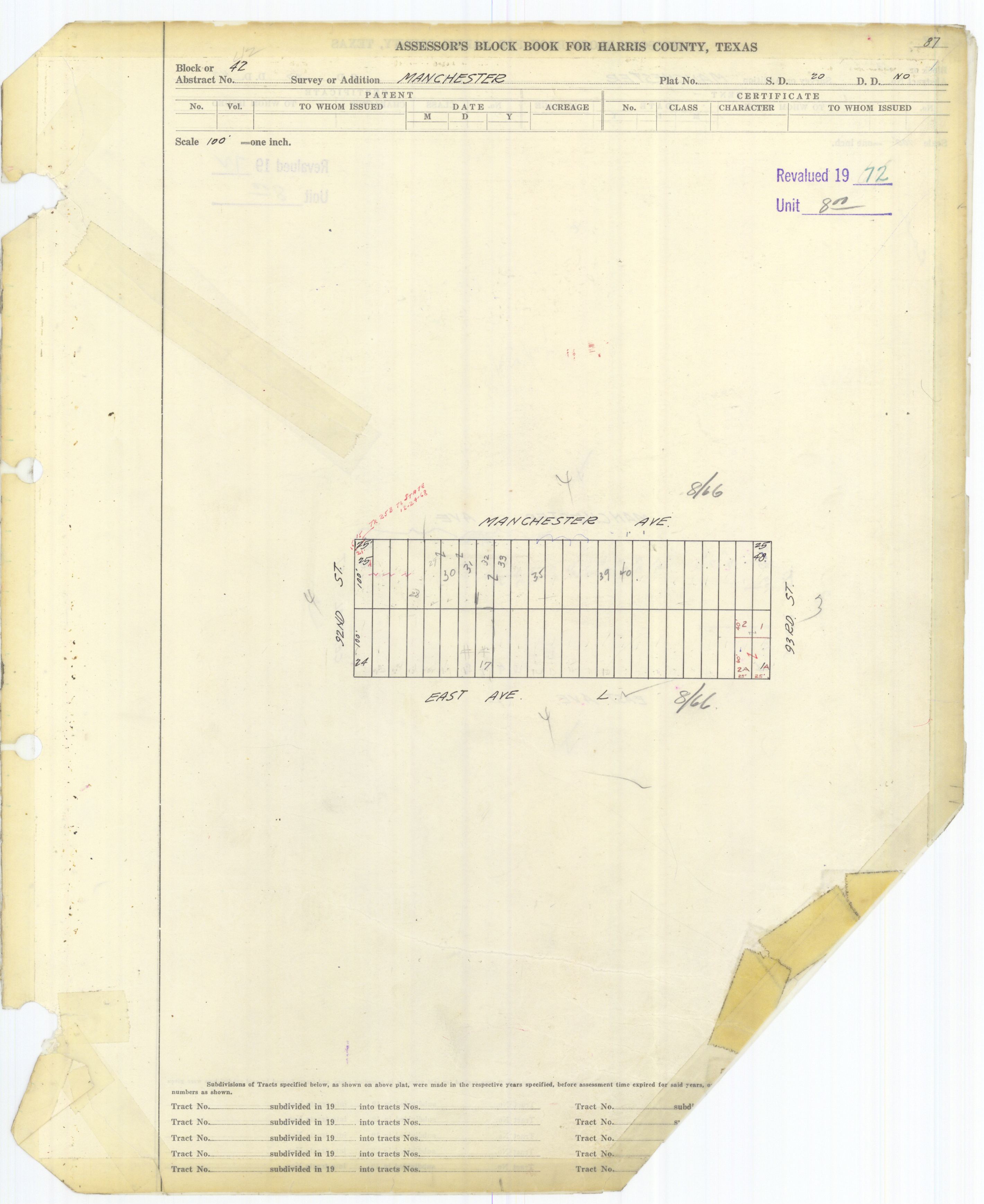
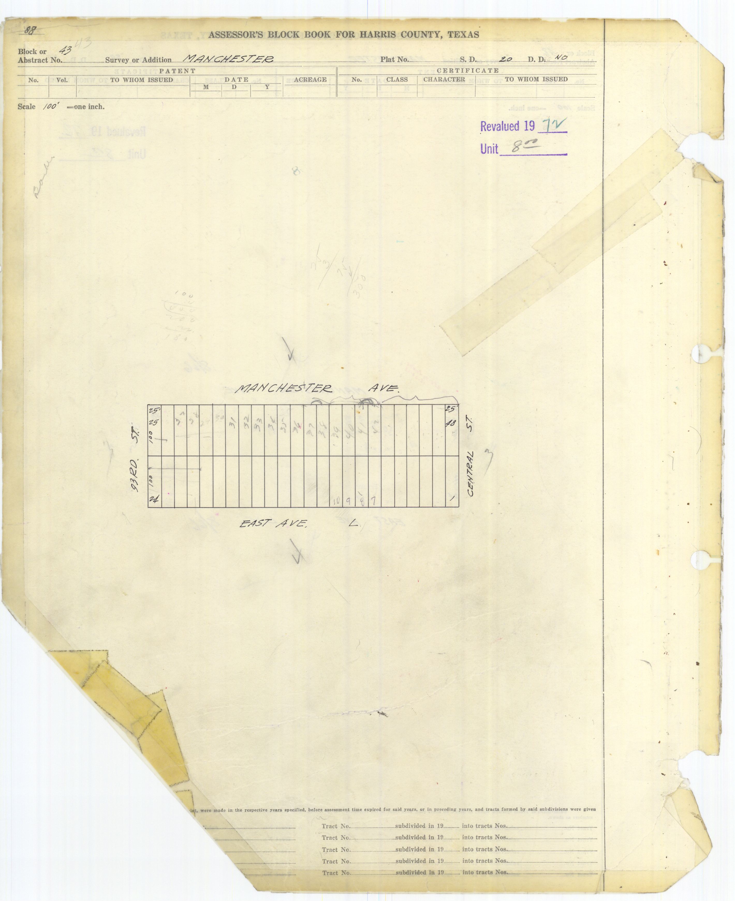
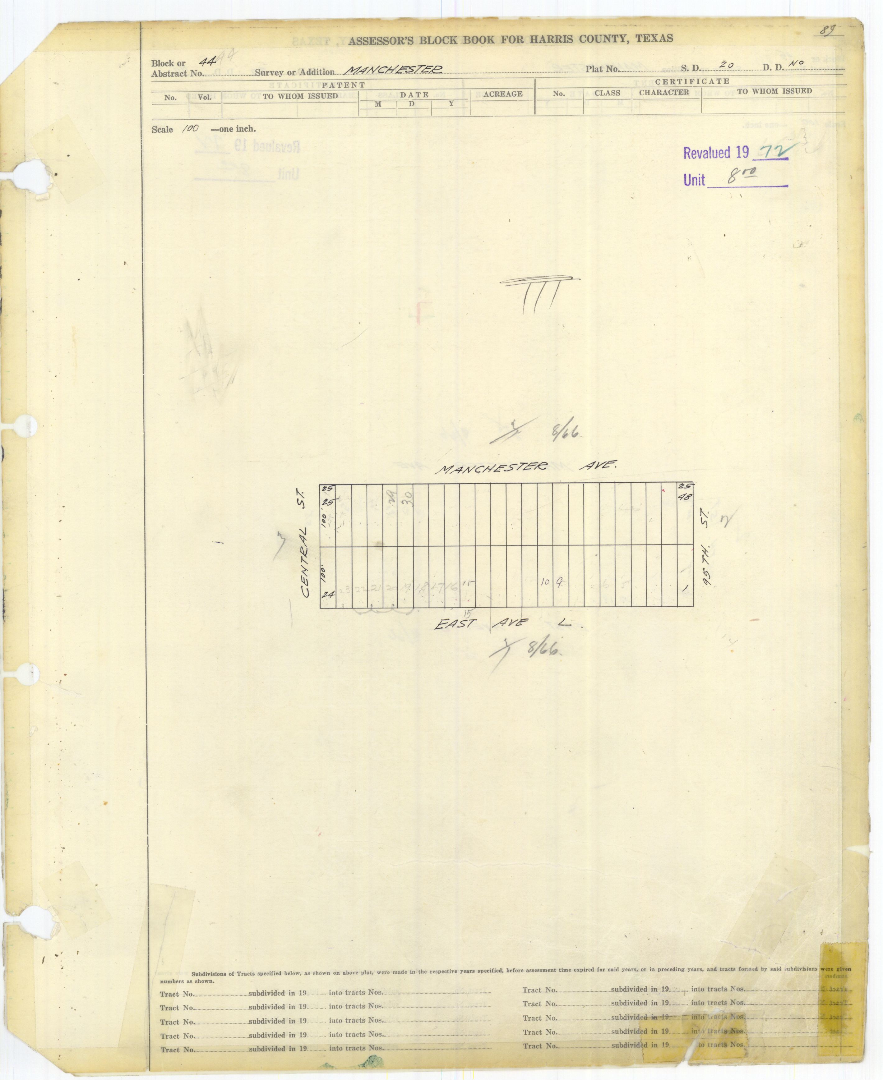
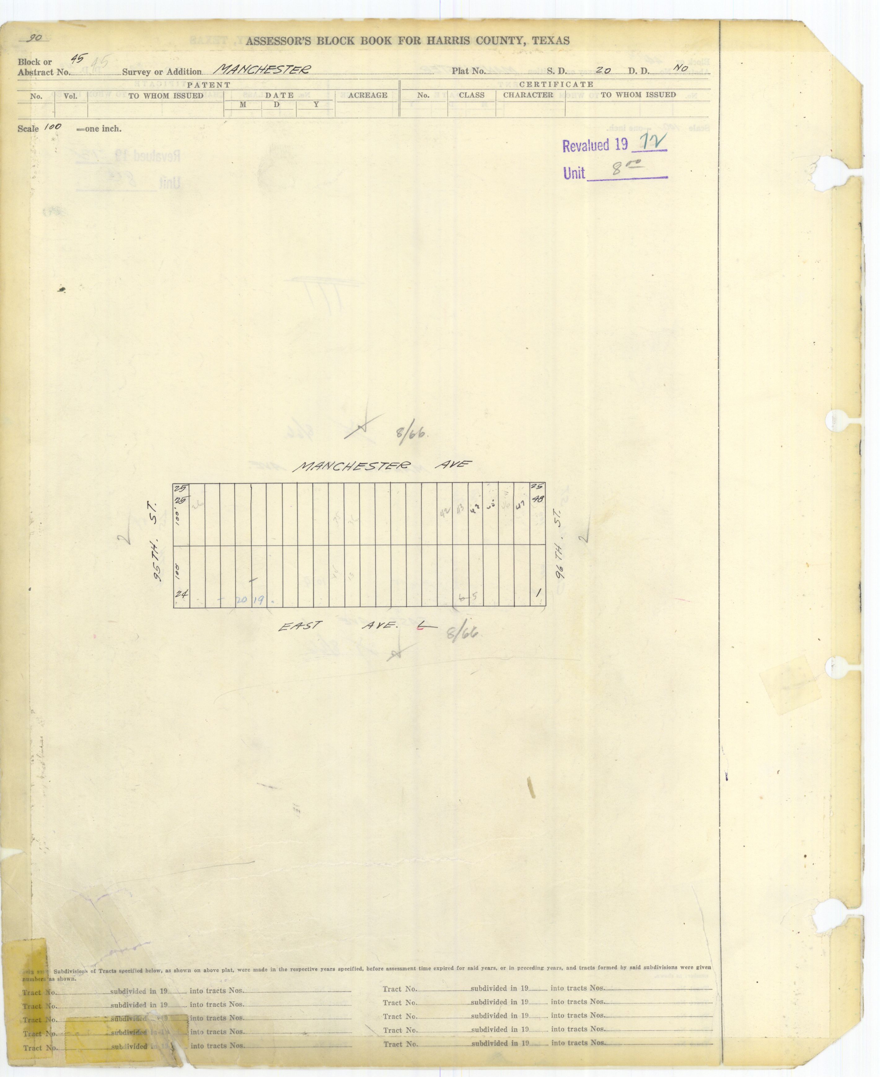
Manchester began in the 1860s as a railroad switch. By the 1970s the area became predominantly industrial and by the 1980s the area became predominantly Hispanic. [3]

The State of Texas concluded that, since 2000, the area had the highest annual averages of 1,3-Butadiene of any area in Texas. [4] On May 27, 2005, the State opened a pollution monitor in Manchester. [5]

In 2019 Mayor of Houston Sylvester Turner added Manchester to the Complete Communities program. [6]

Cityscape

About 455 houses combined are in Harrisburg and Manchester. Area features include chemical plants, refineries, sewage facilities, [7] car crushing facilities, and hazardous cargo areas. Nearby plants are owned by Goodyear, LyondellBasell, Texas Petro-Chemicals, and Valero. [8] These facilities, including the Valero Houston Refinery, are located alongside the Houston Ship Channel. [9]

It is near Magnolia Park. [2]

Government and infrastructure

Manchester is in Houston City Council District I. [10]

The Harris Health System (formerly Harris County Hospital District) designated the Ripley Health Center for the ZIP code 77012. [11] In 2000 Ripley was replaced by the Gulfgate Health Center. [12] The designated public hospital is Ben Taub General Hospital in the Texas Medical Center. [11]

Demographics

As of 2017 about 4,000 people lived around Manchester. [1] As of 2018 almost 2,000 people live in the Harrisburg/Manchester area, with 98% being Hispanic or Latino. [7]

In the city of Houston-defined Harrisburg/Manchester Super Neighborhood, which also includes Harrisburg, there were 2,926 residents in 2015. 82% were Hispanics, 14% were non-Hispanic blacks, and 3% were non-Hispanic whites. The percentages of non-Hispanic Asians and others were both zero. In 2000 the super neighborhood had 3,768 residents. 88% were Hispanics, 6% were non-Hispanic blacks, and 5% were non-Hispanic whites. The percentages of non-Hispanic Asians and others were both zero. [13]

Crime, poverty, and illness

Kristin Moe of Yes! stated that occasional bouts of illness occur due to the chemical plants, and that "Drugs, unemployment, and gangs are a problem." [8] Dina Capello of the Houston Chronicle stated in 2005 that drug dealers and prostitutes reside in the area. [14]

Education

Manchester is within the Houston Independent School District. [15] Zoned schools include:

Parks and recreation

Hartman Park is located in Manchester. [19]

References

  1. 1 2 Manjad, Raj (August 15, 2017). "As Houston plots a sustainable path forward, it's leaving this neighborhood behind". Grist . Retrieved April 2, 2019.
  2. 1 2 "TEJAS: Environmental Justice Texas Style" (PDF). Houston History Magazine . p. 22 (PDF p. 4/5). Retrieved April 2, 2019. - From "Where is Manchester?"
  3. Manchester, Texas (Harris County) from the Handbook of Texas Online
  4. "State Results: Pollution Glance." Houston Chronicle .
  5. "Area residents welcome state pollution monitor / Manchester's air will be tested round-the-clock." Houston Chronicle . (Alternate version [ permanent dead link ]).
  6. Scherer, Jasper (June 20, 2019). "Turner adds five neighborhoods to Complete Communities program".
  7. 1 2 "Environmental Racism in Houston's Harrisburg/Manchester Neighborhood". Stanford University. Archived from the original on July 5, 2019. Retrieved April 2, 2019.
  8. 1 2 Moe, Kristin (April 22, 2013). "Houston's Most Polluted Neighborhood Draws the Line at Alberta Tar Sands". Yes! Magazine. Yes . Retrieved April 2, 2019.
  9. "Valero Houston Refinery". www.valero.com. Retrieved August 26, 2025.
  10. City of Houston, Council District Maps, District I Archived 2013-09-18 at the Wayback Machine ." City of Houston. Retrieved on November 5, 2011.
  11. 1 2 "Clinic/Emergency/Registration Center Directory By ZIP Code". Harris County Hospital District. November 19, 2001. Archived from the original on November 19, 2001. Retrieved April 8, 2021. - See ZIP code 77012. See this map for relevant ZIP code.
  12. "Gulfgate Health Center" (Archive). Harris County Hospital District. Accessed October 17, 2008.
  13. "Super Neighborhood Resource Assessment No. 65 Harrisburg/Manchester" (PDF). City of Houston. Retrieved August 15, 2019.
  14. Capello, Dina (January 16, 2005). "Chronicle cross-county study reveals risky load of 'air toxics'". Houston Chronicle . Retrieved April 2, 2019.
  15. Harris County block book maps:
  16. "J. R. Harris Elementary Attendance Zone." Houston Independent School District.
  17. "Deady Middle Attendance Zone." Houston Independent School District.
  18. "Milby High School Attendance Zone." Houston Independent School District.
  19. "As Houston plots a sustainable path forward, it's leaving this neighborhood behind". Texas Tribune. August 23, 2017. Retrieved April 2, 2019.

29°43′05″N95°15′36″W / 29.718°N 95.260°W / 29.718; -95.260