
Bodiniel is a group of small settlements in Cornwall, England, United Kingdom one mile (1.6 km) north of Bodmin town centre. It is in the civil parish of Helland.
Croanford is a hamlet in Cornwall, England. It is in the parish of Egloshayle.
Currian Vale is a hamlet northeast of Nanpean, in mid Cornwall, England. At the 2011 census the population was included in the civil parish of St Stephen-in-Brannel

Carloggas is a hamlet in the parish of Mawgan-in-Pydar, Cornwall, England.
Hendra Croft is a hamlet in the parish of Perranzabuloe, Cornwall, England.
Highertown is a hamlet in Cornwall, England. It is on the western edge of Bodmin Moor in the parish of Advent.
Old Cardinham Castle is a hamlet in Cornwall, England, UK. It is in the parish of Cardinham very close to the site of the Norman Cardinham Castle, caput of the feudal barony of Cardinham.
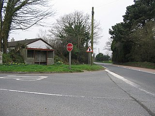
Knightsmill is a hamlet in Cornwall, England. It is half a mile east of St Teath. It is in the civil parish of Tintagel
Lamorick is a hamlet in Cornwall, England. It is half a mile north of Lanivet {where the population for the 2011 census was included.} on the A30 main road.
Lockengate is a hamlet in Cornwall, England, UK. It is two miles south of Lanivet on the A391 road. It is in the civil parish of Luxulyan

Lower Porthpean is a coastal hamlet in Cornwall, England, UK. It is close to Higher Porthpean and one mile south of St Austell.

Millpool is a hamlet in the parish of Cardinham in Cornwall, England. Millpool is north of the village of Cardinham.
Milltown is a hamlet in Cornwall, England. It is about a mile south of Lostwithiel. There is another hamlet called Milltown in the parish of Cardinham.
Molinnis is a hamlet in Cornwall, England. It is half a mile north of Bugle.

Mount is a village in the parish of Warleggan in east Cornwall, England. Mount is southwest of Warleggan.
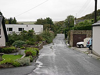
Penmayne is a hamlet next to Splatt in the civil parish of St Minver Lowlands in north Cornwall, England, UK.
Pennytinney is a hamlet in the parish of St Kew, Cornwall, England, UK.

Pentire is a farm near St Eval in Cornwall, England. On the coast nearby is Pentire Steps.
Perrancoombe is a hamlet near Perranzabuloe in Cornwall, England.
Cocks is a hamlet in the parish of Perranzabuloe in Cornwall, England. Cocks is southeast of Perranporth.

