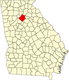
This is a list of properties and districts in Walton County, Georgia that are listed on the National Register of Historic Places (NRHP).
Contents
This National Park Service list is complete through NPS recent listings posted April 1, 2022. [1]
This is a list of properties and districts in Walton County, Georgia that are listed on the National Register of Historic Places (NRHP).
This National Park Service list is complete through NPS recent listings posted April 1, 2022. [1]
| [2] | Name on the Register | Image | Date listed | Date removed | Location | City or town | Description |
|---|---|---|---|---|---|---|---|
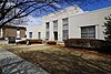
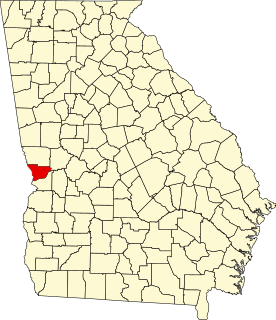
| 1 | Casulon Plantation |  | October 10, 1975 (#75000615) | January 16, 2020 | E of Good Hope off GA 186 33°47′45″N83°31′40″W / 33.795833°N 83.527778°W | Good Hope |

This is a list of properties and districts in Fulton County, Georgia that are listed on the National Register of Historic Places (NRHP). It covers most of the NRHP properties in Atlanta; other Atlanta listings are covered in National Register of Historic Places listings in DeKalb County, Georgia.
This is a list of properties and districts in DeKalb County, Georgia that are listed on the National Register of Historic Places (NRHP).
This is a list of properties and districts in Thomas County, Georgia that are listed on the National Register of Historic Places (NRHP).
This is a list of properties and districts in Muscogee County, Georgia that are listed on the National Register of Historic Places (NRHP).
This is a list of properties and districts in Clarke County, Georgia that are listed on the National Register of Historic Places (NRHP).

This is a list of properties and districts in Baldwin County, Georgia that are listed on the National Register of Historic Places (NRHP).
This is a list of properties and districts in Gwinnett County, Georgia that are listed on the National Register of Historic Places (NRHP).
This is a list of properties and districts in Clayton County, Georgia that are listed on the National Register of Historic Places (NRHP).

This is a list of properties and districts in Hall County, Georgia that are listed on the National Register of Historic Places (NRHP).
This is a list of properties and districts in Cobb County, Georgia that are listed on the National Register of Historic Places (NRHP).
This is a list of properties and districts in Rockdale County, Georgia that are listed on the National Register of Historic Places (NRHP).
This is a list of properties and districts in Richmond County, Georgia that are listed on the National Register of Historic Places (NRHP).
This is a list of properties and districts in Screven County, Georgia that are listed on the National Register of Historic Places (NRHP).
This is a list of properties and districts in Coweta County, Georgia that are listed on the National Register of Historic Places (NRHP).
This is a list of properties and districts in McDuffie County, Georgia that are listed on the National Register of Historic Places (NRHP).

This is a list of properties and districts in Pike County, Georgia that are listed on the National Register of Historic Places (NRHP).
This is a list of properties and districts in Haralson County, Georgia that are listed on the National Register of Historic Places (NRHP).
This is a list of properties and districts in Jenkins County, Georgia that are listed on the National Register of Historic Places (NRHP).
This is a list of properties and districts in Appling County, Georgia that are listed on the National Register of Historic Places (NRHP).
This is a list of properties and districts in Douglas County, Georgia that are listed on the National Register of Historic Places (NRHP).
| Wikimedia Commons has media related to National Register of Historic Places in Walton County, Georgia . |