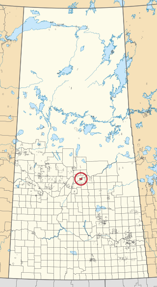
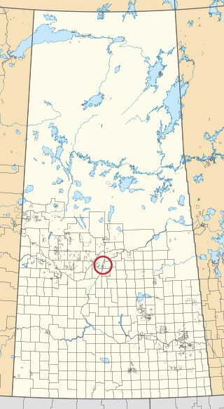
One Arrow First Nation is a Cree First Nations band government in Bellevue, Saskatchewan, Canada. Its main reserve is located just south of Batoche near the South Saskatchewan River about 100 km (62 mi) north-east of Saskatoon. The One Arrow First Nation's reserve is in the aspen parkland biome. It is bordered by the rural municipalities of St. Louis No. 431, Fish Creek No. 402, and Duck Lake No. 463.

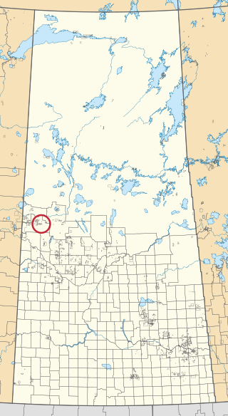
The Flying Dust First Nation is a Cree First Nation band government located adjacent to the city of Meadow Lake in Saskatchewan, Canada. Highway 55 goes through the band's reserve community.

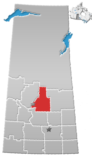
Division No. 15 is one of eighteen census divisions in the province of Saskatchewan, Canada, as defined by Statistics Canada. It is located in the north-central part of the province. The most populous community in this division is Prince Albert.
Kinistino is a town in Saskatchewan, Canada. Kinistino is situated in north-central Saskatchewan. It lies on rich agricultural soil in the valley of the Carrot River, which flows a mile east of the town. Kinistino is located 30 km (19 mi) northwest of Melfort on Highway 3 and 65 km (40 mi) southeast of Prince Albert.

Buck Lake 133C is an Indian reserve of the Paul First Nation in Alberta, located within the County of Wetaskiwin No. 10. It is 87 kilometers west of Wetaskiwin.

Chicken 224 is an Indian reserve of the Black Lake Denesuline First Nation in Saskatchewan. It is 170 kilometres southeast of Uranium City. In the 2016 Canadian Census, it recorded a population of 1379 living in 263 of its 280 total private dwellings. In the same year, its Community Well-Being index was calculated at 42 of 100, compared to 58.4 for the average First Nations community and 77.5 for the average non-Indigenous community.

Chicken 225 is an Indian reserve of the Black Lake Denesuline First Nation in Saskatchewan. In the 2016 Canadian Census, it recorded a population of 0 living in 0 of its 0 total private dwellings.

Lac la Ronge 156 is an Indian reserve of the Lac La Ronge Indian Band in Saskatchewan. It is 10 kilometres southwest of Lac la Ronge. In the 2016 Canadian Census, it recorded a population of 2017 living in 441 of its 480 total private dwellings. In the same year, its Community Well-Being index was calculated at 50 of 100, compared to 58.4 for the average First Nations community and 77.5 for the average non-Indigenous community.

Little Hills 158 is an Indian reserve of the Lac La Ronge Indian Band in Saskatchewan. In the 2016 Canadian Census, it recorded a population of 0 living in 0 of its 0 total private dwellings.

Little Red River 106C is an Indian reserve of the Lac La Ronge Indian Band in Saskatchewan. It is 34 kilometres north of Prince Albert. In the 2016 Canadian Census, it recorded a population of 354 living in 88 of its 98 total private dwellings. In the same year, its Community Well-Being index was calculated at 48 of 100, compared to 58.4 for the average First Nations community and 77.5 for the average non-Indigenous community.

Makwa Lake 129C is an Indian reserve of the Makwa Sahgaiehcan First Nation in Saskatchewan. It is 95 miles northwest of North Battleford. In the 2016 Canadian Census, it recorded a population of 10 living in 4 of its 5 total private dwellings.

Morin Lake 217 is an Indian reserve of the Lac La Ronge Indian Band in Saskatchewan. It is 24 kilometres east of Lac la Ronge. In the 2016 Canadian Census, it recorded a population of 577 living in 135 of its 155 total private dwellings. In the same year, its Community Well-Being index was calculated at 45 of 100, compared to 58.4 for the average First Nations community and 77.5 for the average non-Indigenous community.

The Muskoday Reserve is an Indian reserve of the Muskoday First Nation in Saskatchewan. It is 19 kilometres southeast of Prince Albert. In the 2016 Canadian Census, it recorded a population of 647 living in 205 of its 217 total private dwellings. In the same year, its Community Well-Being index was calculated at 64 of 100, compared to 58.4 for the average First Nations community and 77.5 for the average non-Indigenous community.

One Arrow 95 is an Indian reserve of the One Arrow First Nation in Saskatchewan. It is 53 kilometres southwest of Prince Albert. In the 2016 Canadian Census, it recorded a population of 680 living in 163 of its 168 total private dwellings. In the same year, its Community Well-Being index was calculated at 49 of 100, compared to 58.4 for the average First Nations community and 77.5 for the average non-Indigenous community.

One Arrow 95-1A is an Indian reserve of the One Arrow First Nation in Saskatchewan. It is 27 kilometres northeast of Hague. In the 2016 Canadian Census, it recorded a population of 10 living in 2 of its 2 total private dwellings.

One Arrow 95-1D is an Indian reserve of the One Arrow First Nation in Saskatchewan. It is 11 kilometres east of Duck Lake. In the 2016 Canadian Census, it recorded a population of 0 living in 1 of its 1 total private dwellings.

Sucker River 156C is an Indian reserve of the Lac La Ronge Indian Band in Saskatchewan. It is 230 kilometres north of Prince Albert. In the 2016 Canadian Census, it recorded a population of 416 living in 109 of its 124 total private dwellings. In the same year, its Community Well-Being index was calculated at 49 of 100, compared to 58.4 for the average First Nations community and 77.5 for the average non-Indigenous community.

Tipamahto Aski 95A is an Indian reserve of the One Arrow First Nation in Saskatchewan. It is 15 kilometres northwest of Duck Lake.

Wahpaton 94A is an Indian reserve of the Wahpeton Dakota Nation in Saskatchewan. It is 10 kilometres north of Prince Albert. In the 2016 Canadian Census, it recorded a population of 309 living in 70 of its 80 total private dwellings. In the same year, its Community Well-Being index was calculated at 58 of 100, compared to 58.4 for the average First Nations community and 77.5 for the average non-Indigenous community.


