North Decatur is a census-designated place (CDP) in DeKalb County, Georgia, United States. The population was 16,698 at the 2010 census.
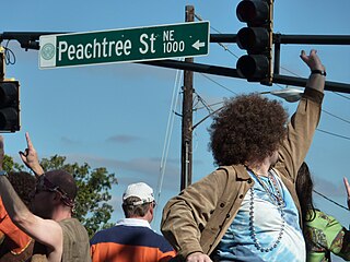
Peachtree Street is one of several major streets running through the city of Atlanta. Beginning at Five Points in downtown Atlanta, it runs North through Midtown; a few blocks after entering into Buckhead, the name changes to Peachtree Road at Palisades Road. Much of the city's historic and noteworthy architecture is located along the street, and it is often used for annual parades,, as well as one-time parades celebrating events such as the 100th anniversary of Coca-Cola in 1986 and the Atlanta Braves' 1995 World Series victory.

Buckhead is an affluent uptown commercial and residential district of Atlanta, Georgia, comprising approximately the northernmost fifth of the city.

State Route 141 (SR 141) is a 28.0-mile-long (45.1 km) state highway that runs southwest-to-northeast in the northwest part of the U.S. state of Georgia. It connects the Buckhead area of Atlanta with Cumming. Its routing exists within portions of Fulton, DeKalb, Gwinnett, Forsyth counties.

Buckhead Village is a neighborhood of Atlanta, Georgia, one of 42 neighborhoods in the larger Buckhead district and the community's historic business section. The Village as defined by the city as the area between Piedmont Road, Peachtree Road, and Pharr Road.
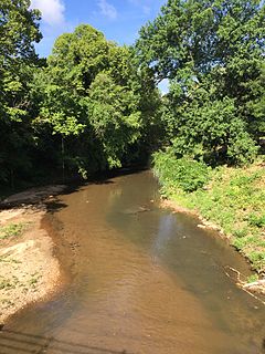
Standing Peachtree was a Creek Indian village and the closest Indian settlement to what is now the Buckhead area of Atlanta, Georgia. It was located where Peachtree Creek flows into the Chattahoochee River, in today's Paces neighborhood. It was located in the borderlands of the Cherokee and Creek nations. It is referred to in several documents dating as far back as 1762.
The Neighborhood Planning Unit is a neighborhood-scale governmental structure used in the city of Atlanta, Georgia.
Through much of the 19th century, Pace's Ferry was an important ferry across the Chattahoochee River near Atlanta. Started in the early 1830s near Peachtree Creek, it was run by Hardy Pace, one of the city's founders. It was an important transportation link to northwestern Georgia, especially prior to the construction of the State Road to Chattanooga.

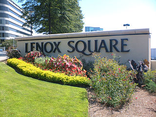
Buckhead is a train station in Atlanta, Georgia, serving the Red Line of the Metropolitan Atlanta Rapid Transit Authority (MARTA) rail system. This station is the first station only served by the Red Line. It is located in the Buckhead neighborhood in the median of State Route 400, a limited access highway, at Peachtree Road/State Route 141. The station is in easy walking distance of many offices, hotels and shopping centers, including Lenox Square, although the Lenox MARTA station provides easier access to the mall. The buc, a zero-fare bus service, also provides transportation to the surrounding area. The Buckhead Station also features Zipcars.
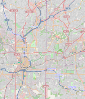
Brookwood Hills is a historic neighborhood located in intown Atlanta, Georgia, United States, north of Midtown and south-southwest of Buckhead. Home to about 1000 people, it was founded in the early 1920s by Benjamin Franklin Burdett and his son, Arthur. The site of the neighborhood is located where some of the bloodiest battles of the American Civil War took place during the Atlanta Campaign.

Chastain Memorial Park is the largest city park in Atlanta, Georgia. It is a 268-acre (1.08 km2) park near the northern edge of the city. Included in the park are jogging paths, playgrounds, tennis courts, a golf course, swimming pool, horse park and amphitheater.

Collier Hills is a residential neighborhood in Atlanta, Georgia. The area gets its name from the family whose homestead was broadly located in the southwest corner of the intersection of Peachtree St. and Collier Rd. Andrew Jackson Collier, a member of this family and early pioneer of the area, operated an antebellum grist mill off Tanyard Creek, near Collier Rd.
Paces is a neighborhood of Atlanta. It is part of the Buckhead district and located in the far northwest corner of the city. Paces is bounded on the northwest by the Chattahoochee River, which is also the Cobb/Fulton county line. Just across the river in Cobb is the unincorporated community of Vinings, which was originally known as Paces after founder Hardy Pace, who operated Pace's Ferry. Cumberland is also located on the other side of the river. It is perhaps Atlanta's most affluent neighborhood, with many of the homes selling in the $5–$7 million range, and some reaching upwards of $20 million.
Lindridge/Martin Manor is an intown neighborhood of Atlanta, Georgia. It consists mostly of the single-family homes located off Lindbergh Drive in between I-85 and Cheshire Bridge Road. In addition, it includes a small commercial area of three streets west of I-85 bounded by Peachtree Creek, Piedmont Road and the Southern railroad. The neighborhood's boundaries are I-85 on the northwest, Morningside-Lenox Park on the south, and North Druid Hills in unincorporated DeKalb County, Georgia on the east.
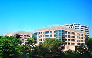
Lenox Park is a neighborhood of homes and office buildings located primarily within the city of Brookhaven, Georgia, just east of the northern border of the city of Atlanta.
Brookwood is a neighborhood at the southernmost tip of the Buckhead Community of Atlanta. It should not be confused with Brookwood Hills, a neighborhood and historic district east of Brookwood across Peachtree Road.
North Buckhead is a neighborhood in the Buckhead district, at the northern edge of the city of Atlanta, Georgia, and is one of Atlanta's most affluent neighborhoods.

Peachtree Park is a neighborhood in the Buckhead Community of Atlanta, Georgia.
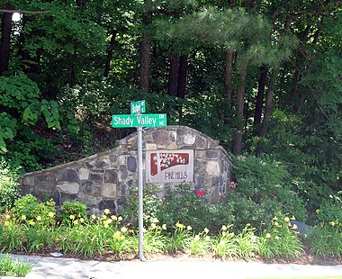
Peachtree Hills is a neighborhood within the Buckhead district of Atlanta, Georgia. It consists primarily of residential buildings, but restaurants, retail, and mixed use buildings are scattered throughout the neighborhood. Peachtree Battle Shopping Center is located within the borders of Peachtree Hills.
