Protected areas of Moldova include following categories: [1]
Contents
- National park
- Scientific nature reserves
- Ramsar wetlands
- Landscape reserves
- Monuments of landscape architecture
- See also
- References
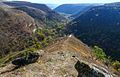
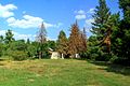
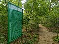
- Scientific nature reserves (rom. rezervații științifice) – currently 5 reserves covering an area of 19379 ha. They are equivalent to IUCN category Ia (strict nature reserve).
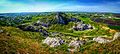
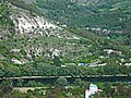
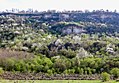
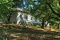
- National parks – currently there’s one national park, created in 2013 Orhei National Park (rom. Parcul Național Orhei) [2]
- Nature monuments (rom. monumente ale naturii)
- Nature reserves (rom. rezervații naturale)
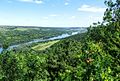
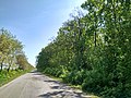
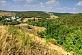
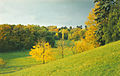
- Landscape reserves (rom. rezervații peisagistice)
- Resource reserves (rom. rezervații de resurse)
- Areas with multifunctional management (rom. Arii cu management multifuncțional)
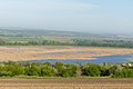
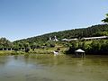
- Wetlands of international importance (rom. Zone umede de importanță internațională)
- Dendrological gardens (rom. grădini dendrologice)
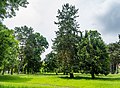
- Landscape architecture monuments (rom. monumente de arhitectură peisajeră)
- Zoological garden in Chișinău (rom. Grădina Zoologică din Chișinău)