National Parks

Location of the National Parks of Hungary
There are 10 national parks in Hungary (IUCN Category II) as of 2014.
| Name | Area (km²) | Established | Seat | Link |
|---|---|---|---|---|
| Hortobágy | 809.572 | 1973 | Debrecen | hnp.hu |
| Kiskunság | 506.410 | 1975 | Kecskemét | knp.nemzetipark.gov.hu Archived 2021-04-14 at the Wayback Machine |
| Bükk | 422.834 | 1977 | Eger | bnpi.hu |
| Aggtelek | 201.837 | 1985 | Jósvafő | anp.hu |
| Fertő-Hanság | 238.913 | 1991 | Sarród | ferto-hansag.hu |
| Danube-Drava | 497.516 | 1996 | Pécs | ddnp.hu |
| Körös-Maros | 512.465 | 1997 | Szarvas | kmnp.hu |
| Balaton Uplands | 570.190 | 1997 | Csopak | bfnp.hu |
| Danube-Ipoly | 606.760 | 1997 | Esztergom / Budapest | dunaipoly.hu |
| Őrség | 440.483 | 2002 | Őriszentpéter | orseginemzetipark.hu |
 Hortobágy NP
 Kiskunság NP
 Bükk NP
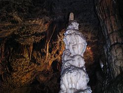 Aggtelek NP
 Fertő-Hanság NP
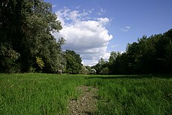 Danube-Drava NP
 Körös-Maros NP
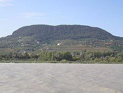 Balaton Uplands NP
 Danube-Ipoly NP
 Őrség NP


