| Rivière-Bleue | |
|---|---|
| Municipality | |
 | |
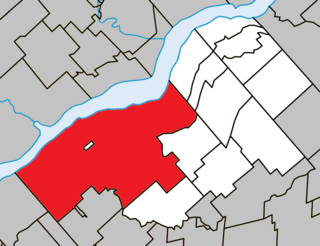
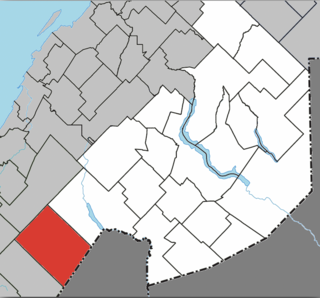
 Location within Témiscouata RCM | |
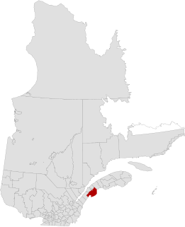
 Rivière-Bleue Location in eastern Quebec | |
| Coordinates: 47°26′N69°03′W / 47.433°N 69.050°W Coordinates: 47°26′N69°03′W / 47.433°N 69.050°W [1] | |
| Country | |
| Province | |
| Region | Bas-Saint-Laurent |
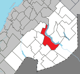
| RCM | Témiscouata |
| Constituted | June 14, 1975 |
| Government [2] | |
| • Mayor | Claude H. Pelletier |
| • Federal riding | Rimouski-Neigette— Témiscouata—Les Basques |
| • Prov. riding | Rivière-du-Loup-Témiscouata |
| Area [2] [3] | |
| • Total | 180.30 km2 (69.61 sq mi) |
| • Land | 174.07 km2 (67.21 sq mi) |
| Population (2011) [3] | |
| • Total | 1,299 |
| • Density | 7.5/km2 (19/sq mi) |
| • Pop 2006-2011 | |
| • Dwellings | 766 |
| Time zone | EST (UTC−5) |
| • Summer (DST) | EDT (UTC−4) |
| Postal code(s) | G0L 2B0 |
| Area code(s) | 418 and 581 |
| Highways | |
| Website | www |
Rivière-Bleue is a municipality in Quebec with more or less 1500 inhabitants. The municipality is located in the Bas-Saint-Laurent region on the border of the province of New-Brunswick and Canada–United States border with Maine.

Quebec is one of the thirteen provinces and territories of Canada. It is bordered to the west by the province of Ontario and the bodies of water James Bay and Hudson Bay; to the north by Hudson Strait and Ungava Bay; to the east by the Gulf of Saint Lawrence and the province of Newfoundland and Labrador; and to the south by the province of New Brunswick and the U.S. states of Maine, New Hampshire, Vermont, and New York. It also shares maritime borders with Nunavut, Prince Edward Island, and Nova Scotia. Quebec is Canada's largest province by area and its second-largest administrative division; only the territory of Nunavut is larger. It is historically and politically considered to be part of Central Canada.

The Canada–United States border, officially known as the International Boundary, is the longest international border in the world between two countries. It is shared between Canada and the United States, the second- and fourth-largest countries by area, respectively. The terrestrial boundary is 8,891 kilometres (5,525 mi) long, of which 2,475 kilometres (1,538 mi) is Canada's border with Alaska. Eight Canadian provinces and territories, and thirteen U.S. states are located along the border.

Maine is a state in the New England region of the northeastern United States. Maine is the 12th smallest by area, the 9th least populous, and the 38th most densely populated of the 50 U.S. states. It is bordered by New Hampshire to the west, the Atlantic Ocean to the southeast, and the Canadian provinces of New Brunswick and Quebec to the northeast and northwest respectively. Maine is the easternmost state in the contiguous United States, and the northernmost state east of the Great Lakes. It is known for its jagged, rocky coastline; low, rolling mountains; heavily forested interior; and picturesque waterways, as well as its seafood cuisine, especially lobster and clams. There is a humid continental climate throughout most of the state, including in coastal areas such as its most populous city of Portland. The capital is Augusta.