
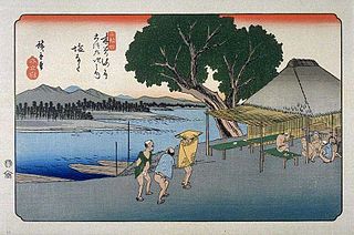
Tamamura is a town located in Gunma Prefecture, Japan. As of February 2015, the town had an estimated population of 36,952, and a population density of 1430 persons per km². Its total area is 25.78 km².

Ageo-shuku was the fifth of the sixty-nine stations of the Nakasendō highway connecting Edo with Kyoto during the Edo period. It was located in the present-day city of Ageo, Saitama Prefecture, Japan.

Warabi-shuku was the second of the sixty-nine stations of the Nakasendō highway connecting Edo with Kyoto during the Edo period. It was located in the present-day city of Warabi, Saitama Prefecture, Japan.

Ashida-shuku was the twenty-sixth of the sixty-nine stations of the Nakasendō. It is located in the present-day town of Tateshina, in the Kitasaku District of Nagano Prefecture, Japan.

Mochizuki-shuku was the twenty-fifth of the sixty-nine stations of the Nakasendō. It is located in the present-day city of Saku, in Nagano Prefecture, Japan.
Shionada-shuku was the twenty-third of the sixty-nine stations of the Nakasendō. It is located in the present-day city of Saku, in Nagano Prefecture, Japan.

Iwamurada-shuku was the twenty-second of the sixty-nine stations of the Nakasendō. It is located in the present-day city of Saku, in Nagano Prefecture, Japan.
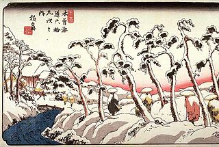
Otai-shuku was the twenty-first of the sixty-nine stations of the Nakasendō. It is located in the present-day town of Miyota, in the Kitasaku District of Nagano Prefecture, Japan.

Kumagai-shuku was the eighth of the sixty-nine stations of the Nakasendō highway connecting Edo with Kyoto during the Edo period. It was located in the present-day city of Kuamagaya, Saitama Prefecture, Japan.

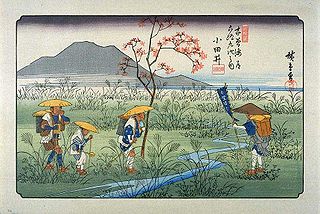
Oiwake-shuku was the twentieth of the sixty-nine stations of the Nakasendō. It is located in the present-day town of Karuizawa, in the Kitasaku District of Nagano Prefecture, Japan.

Fukaya-shuku was the ninth of the sixty-nine stations of the Nakasendō highway connecting Edo with Kyoto during the Edo period It was located in the present-day city of Fukaya, Saitama Prefecture, Japan.
Honjō-shuku was the tenth of the sixty-nine stations of the Nakasendō highway connecting Edo with Kyoto during the Edo period. It was the largest of the stations in terms of population and number of buildings. It was located in the present-day city of Honjō, Saitama Prefecture, Japan.

Okegawa-shuku was the sixth of the sixty-nine stations of the Nakasendō highway connecting Edo with Kyoto during the Edo period. It was located in the present-day city of Okegawa, Saitama Prefecture, Japan.

Kōnosu-shuku was the seventh of the sixty-nine stations of the Nakasendō highway connecting Edo with Kyoto during the Edo period. It was located in the present-day city of Kōnosu, Saitama Prefecture, Japan.

Kuragano-shuku was the twelfth of the sixty-nine stations of the Nakasendō. It is located in the present-day city of Takasaki, Gunma Prefecture, Japan.
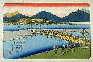
Takasaki-shuku was the thirteenth of the sixty-nine stations of the Nakasendō. It is located in the present-day city of Takasaki, Gunma Prefecture, Japan.
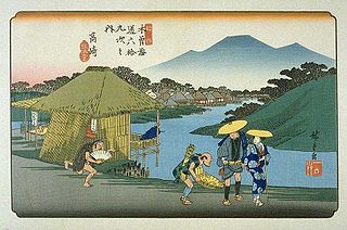
Itahana-shuku was the fourteenth of the sixty-nine stations of the Nakasendō. It is located in the present-day city of Annaka, Gunma Prefecture, Japan. Ruins of its honjin can be found at the Princess Kazunomiya Inn.

Matsuida-shuku was the sixteenth of the sixty-nine stations of the Nakasendō. It is located in the present-day city of Annaka, Gunma Prefecture, Japan, at the foot of Mount Myōgi.

Annaka-shuku was the fifteenth of the sixty-nine stations of the Nakasendō. It is located in the present-day city of Annaka, Gunma Prefecture, Japan. Batō Kan'on lined the way to the post town.


