
McKees Rocks, also known as "The Rocks", is a borough in Allegheny County in Western Pennsylvania, United States, along the south bank of the Ohio River. Part of the Pittsburgh metropolitan area, its population was 5,920 at the time of the 2020 census.
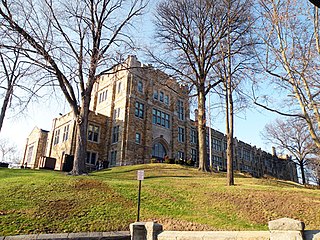
Sheraden is a neighborhood that is located in the West End of Pittsburgh, Pennsylvania in the United States. Nearby neighborhoods include Windgap, Chartiers City, Crafton Heights, Esplen, and Elliott.
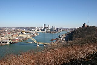
Elliott is a small, hilly neighborhood in Pittsburgh, Pennsylvania, United States' West End Region. Elliott is represented on the Pittsburgh City Council by the council member for District 2, and uses the ZIP code 15220.

Bon Air is a neighborhood in the south portion of Pittsburgh, Pennsylvania, United States. Its two zip codes are 15226 and 15210, and it is represented in the Pittsburgh City Council by the council member for District 4.

Beechview is a neighborhood in Pittsburgh, Pennsylvania's southwestern side. It has a zip code of 15216, and has representation on Pittsburgh City Council by both the council member for District 4 and for District 2. Beechview was founded in 1905 after the introduction of a comprehensive light rail transit system. It is Pittsburgh Fire Bureau Zone 4-10 and houses Engine Company #28. It is located in Zone 6 for Pittsburgh Police. While Beechview took an economic downturn in the late 20th century, its proximity to downtown Pittsburgh, convenient access to light rail transit, sweeping vistas and new businesses have allowed Beechview to stabilize economically.
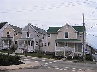
Beltzhoover is a neighborhood in southern Pittsburgh, Pennsylvania, in an area known as the South Hills.

Chartiers is a neighborhood in Pittsburgh, Pennsylvania's West End. It has a zip code of 15204, and has representation on Pittsburgh City Council by the council member for District 2. The neighborhood was named after Peter Chartier, a trapper of French and Native American parentage who established a trading post at the mouth of Chartiers Creek in 1743.

Esplen is a neighborhood in Pittsburgh, Pennsylvania's West End. It has a zip code of 15204, and has representation on Pittsburgh City Council by the council member for District 2.

Fairywood is a neighborhood on Pittsburgh, Pennsylvania's West End. It has a zip code of 15205, and has representation on Pittsburgh City Council by the council member for District 2. It is the westernmost neighborhood in the City of Pittsburgh.

Hays is a neighborhood in the 31st Ward of the east side of Pittsburgh, Pennsylvania. It is represented on the Pittsburgh City Council by the representative of District 5. It occupies ZIP codes 15227, 15207, and 15236. It is named after James H. Hays, who opened a coal-mining operation called Hays and Haberman Mines in 1828.

Knoxville is a neighborhood in southern Pittsburgh, Pennsylvania, United States. It is part of zip code 15210, and has representation on Pittsburgh City Council by the council member for District 3.
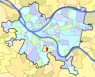
Mount Oliver is a south neighborhood of Pittsburgh, Pennsylvania. It has a zip code of 15210, and has representation on Pittsburgh City Council by the council member for District 3. It is adjacent to, but distinct from, the borough of Mount Oliver.

New Homestead is a neighborhood in the 31st Ward of Pittsburgh, Pennsylvania, USA's southeast city area. It has a ZIP Code of 15207 and 15120. It is represented on the Pittsburgh City Council by Corey O'Connor.
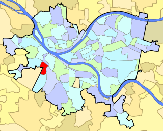
Ridgemont is a neighborhood in Pittsburgh, Pennsylvania's West End. It has zip codes of both 15220 and 15216, and has representation on Pittsburgh City Council by the council member for District 2.

Stanton Heights is a neighborhood in Pittsburgh, Pennsylvania's East End. It has zip codes of both 15201 and 15206, and has representation on Pittsburgh City Council by the council member for District 7. Stanton Heights is the home of PBF 7 Engine and the city's Arson Investigation Units, and is covered by PBP Zone 5 and the Bureau of EMS Medic 6.

Summer Hill is a neighborhood on Pittsburgh, Pennsylvania's North Side. It has a zip code of 15214, and has representation on Pittsburgh City Council by the council member for District 1.
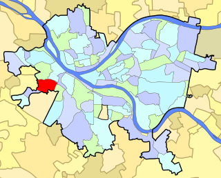
Westwood is an American neighborhood that is located in the West End Region of Pittsburgh, Pennsylvania.

West End Village is a neighborhood in Pittsburgh, Pennsylvania's west city area. It has a zip code of 15220, and has representation on Pittsburgh City Council by the council member for District 2.
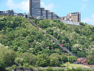
Mount Washington is a neighborhood in the southern region of Pittsburgh, Pennsylvania. It has a Zip Code of 15211 and has representation on Pittsburgh City Council by both the council members for District 3 and District 2.


