Bayview-Montalvin is a former census-designated place (CDP) in Contra Costa County, California, United States. The population was 5,004 at the 2000 census.

Garden Acres is a census-designated place (CDP) in San Joaquin County, California, United States. The population was 10,648 at the 2010 census, up from 9,747 at the 2000 census. It is the most populous CDP in San Joaquin County.

Twin Lakes is a census-designated place (CDP) in Santa Cruz County, California, United States. The population is at an estimated 5,378 as of 2016 which is up by 461 in 2010.

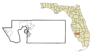
Charlotte Park is a census-designated place (CDP) in Charlotte County, Florida, United States. The population was 2,667 at the 2020 census. It is part of the Sarasota-Bradenton-Punta Gorda Combined Statistical Area.

Naval Academy is a census-designated place (CDP) in Anne Arundel County, Maryland, United States, which covers the campus of the United States Naval Academy. The population was 4,802 at the 2010 census.

Pine Point is a census-designated place (CDP) in Becker County, Minnesota, United States. The population was 338 at the 2010 census.

Covedale is a census-designated place (CDP) in Green Township, Hamilton County, Ohio, United States. The population was 6,472 at the 2020 census. The CDP represents the part of the former village of Covedale that was not annexed by the city of Cincinnati in 1930.

Dry Run is a census-designated place (CDP) in Hamilton County, Ohio, United States. The population was 7,672 at the 2020 census.

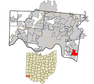
Forestville is a census-designated place (CDP) in Hamilton County, Ohio, United States. The population was 10,615 at the 2020 census.

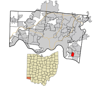
Fruit Hill is a census-designated place (CDP) in Hamilton County, Ohio, United States. The population was 3,748 at the 2020 census.

Northgate is a census-designated place (CDP) in Colerain Township, Hamilton County, Ohio, United States. The population was 7,277 at the 2020 census.

Sherwood is a census-designated place (CDP) in Hamilton County, Ohio, United States. The population was 3,633 at the 2020 census.

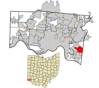
Turpin Hills is a census-designated place (CDP) in Anderson Township, Hamilton County, Ohio, United States. The population was 5,162 at the 2020 census.

Murphys Estates is a census-designated place (CDP) in Edgefield County, South Carolina, part of the larger Augusta metropolitan area. The population was 1,719 as of the 2020 census. The community is notable for having the largest number of Irish Traveller Americans in the United States.

Green Valley is a census-designated place (CDP) and unincorporated community in Pennington County, South Dakota, United States. The population was 1,051 at the 2020 census.

Three Lakes is a census-designated place (CDP) in Snohomish County, Washington, United States. The population was 3,941 at the 2020 census.

Piney View is a census-designated place (CDP) in Raleigh County, West Virginia, United States. The population was 989 at the 2010 census.

Loveland Park is a census-designated place (CDP) located in Symmes Township, Hamilton County and Deerfield Township, Warren County, in the southwestern part of the U.S. state of Ohio. The CDP is named after the city of Loveland. The population was 1,737 at the 2020 census.
Howland is a census-designated place (CDP) in Penobscot County, Maine, United States. The population was 1,096 at the 2010 census.

West Seneca is a hamlet and census-designated place (CDP) in Erie County, New York, United States. The population was 44,711 at the 2010 census. It is part of the Buffalo–Niagara Falls Metropolitan Statistical Area. The CDP corresponds exactly to the area of the town of West Seneca.


