Samford, Queensland

Last updated

Samford
Queensland
20070421 Samford John Scott Park Main Street with cyclists (06).JPG
Centre of Samford Village
Australia Queensland location map.svg
Red pog.svg
Samford
Coordinates 27°22′20″S152°53′13″E / 27.3722°S 152.8869°E / -27.3722; 152.8869 (Samford (town centre))
Established1855
Postcode(s) 4520
Time zone AEST (UTC+10:00)
Location
LGA(s) Moreton Bay Region
State electorate(s) Pine Rivers
Federal division(s) Dickson
Localities around Samford:
Cedar Creek Yugar Draper
Highvale Samford Draper
Wights Mountain Camp Mountain Ferny Hills

Samford is a town in Moreton Bay Region, South East Queensland, Australia. It consists of two localities, Samford Village and Samford Valley. [1] [2] [3]

Contents

Geography

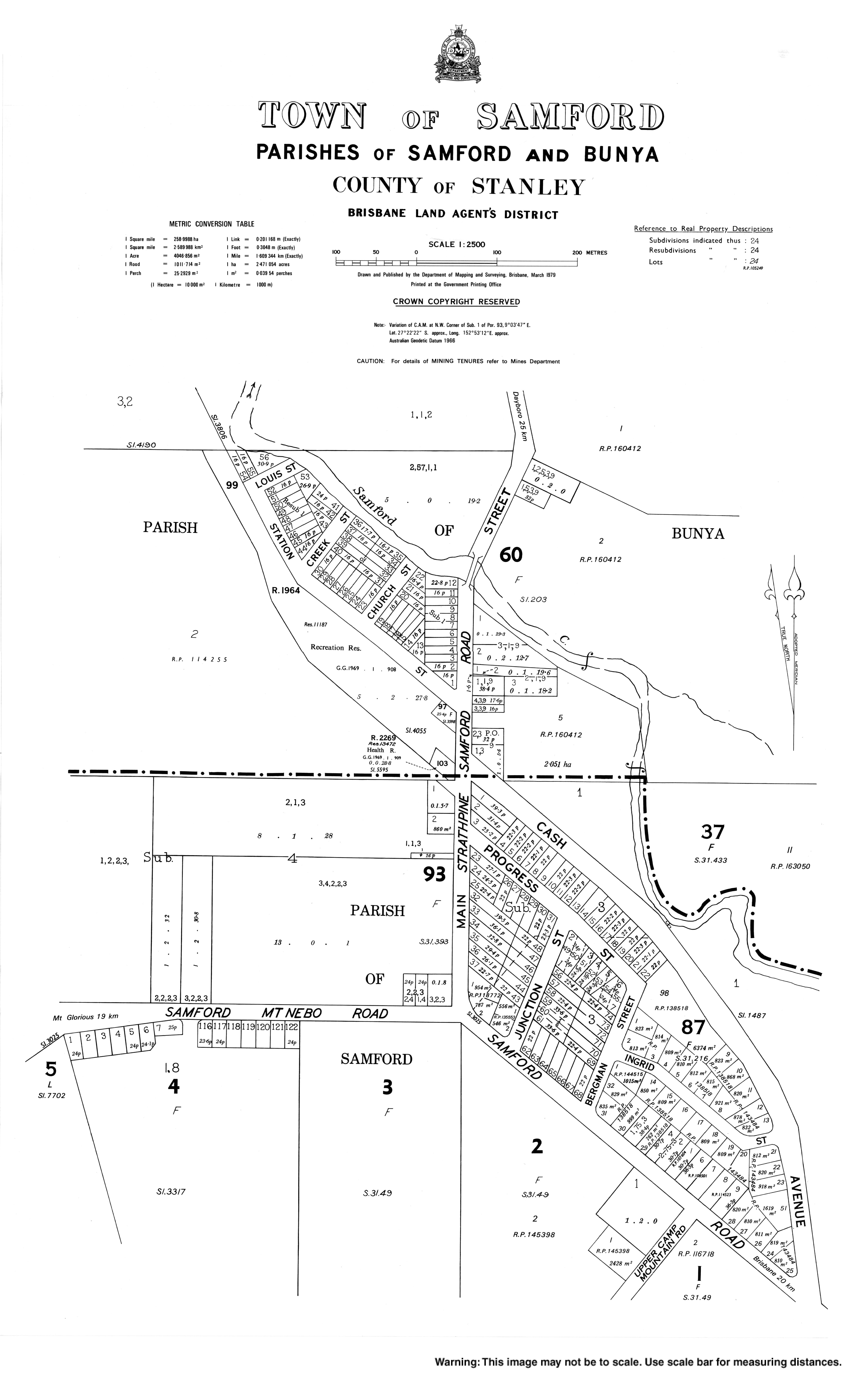
Samford is a hilly area, roughly 21 kilometres (13 mi) north west of Brisbane. Access to Samford from Brisbane is via Samford Road through the Samford State Forest and takes about 10 minutes from Ferny Grove.

Samford is located adjacent to the Samford State Forest section of Brisbane Forest Park. Brisbane Forest Park comprises more than 26,500 ha enclosing 16 separate recreation areas. The wide variety of habitat provides a sanctuary for a broad range of native wildlife. Samford Valley is known as the "Home of the Powerful Owl", as the area is known to be an important breeding area for the bird, Australia's largest owl. Parts of D'Aguilar Range, which includes nearby Camp Mountain, Mount Nebo, Mount Glorious and Mount Pleasant, give rise to the valley in which Samford lies.

History

Samford was occupied by the indigenous people who named it Kupidabin, an Aboriginal word from the Waka language, meaning 'place of possums'. They named D.L. Brown's land in Samford, Karandukamari. Samford was an important location for "kippa-ring" or initiation ceremony. Tribes from Ipswich, Cressbrook, Mount Brisbane and Brisbane would travel here to have their "kippas" (young men) initiated. [4]

Samford's very first inhabitants were an aboriginal tribe which belonged to the Waka language group, whose territory also included the upper Brisbane River and the South Burnett. While there are no aboriginal tribes still living in Samford, their history remains by means of the Bora Ring at Wights Mountain, [5] the burial site near Upper Camp Mountain Road and the records kept at the local historical museum. [6]

Although Samford is closer to Brisbane than most acreage areas in the Moreton Bay Regional Council, the secluded valleys of the upper reaches of the South Pine River were not settled by Europeans until the mid-1850s. The first land auctions were held on 1 February 1855. [5]

Samford State School, circa 1872 Samford State School , circa 1872.jpg
Samford State School, circa 1872

Samford Provisional School opened on 1 October 1872. In 1879, it became Samford State School. [7]

In 1916 the Highlands Estate was advertised for private sale by Robinson & Jolly. [8] A map of the estate indicates the land was five minutes from the Samford railway station on the Enoggera Terror's Creek Line (the Dayboro railway line), which was under construction at the time. [9]

1920s view of Camp Mountain south west from Main Street. Note former rail crossing and railway station. Samford Main Street view South West to Camp Mountain, 1920.jpg
1920s view of Camp Mountain south west from Main Street. Note former rail crossing and railway station.

Buildings began to appear in Samford Village's Main Street in 1916. The first business to open in the Samford area was a shop and bakehouse which was owned and built by Alex Lawson.[ citation needed ]

The Samford railway station on the Dayboro line opened 1 July 1918; it reached its terminus at Dayboro railway station on 25 September 1920. [10]

In 1919, the O'Hara's Hotel (the Samford Hotel) shifted to its current location. The location from which the hotel previously operated was purchased and used by the CSIRO. In the late 1950s, this hotel again changed its name from the Samford Railway Hotel to the Golden Valley Hotel.

By 1908, banana growing on the steep ridges at the foot of the ranges had become one of the most important industries in the Samford district.[ citation needed ] After World War 1, the government created additional small farms so that returned servicemen with limited capital were able to get started in the industry. During 1926 and 1927, more bananas were consigned to southern markets from Samford Railway Station than any other railway station in Queensland. However this success was short-lived. The banana bunchy top virus which had wiped out banana growing in the Northern Rivers region of New South Wales, spread to Samford and was the primary reason for the decline of the industry in the Pine Rivers Shire. [11]

After the subdivision of farms into acreage homesites commenced in the 1960s, with substantial upgrading of road access completed more recently, many of Samford's residents commute to work in Brisbane.

In 2008, Samford became part of the Moreton Bay Region.

Facilities

Looking onto C.S.I.R.O.
land (Samford) CSIRO Land Samford small 270604.jpg
Looking onto C.S.I.R.O. land (Samford)

Samford Village contains a mix of historical buildings, restaurants, shops and services. Samford's heritage as a village servicing farming communities is apparent from the facilities which include an equipment hire business, hardware and produce stores, as well as banking, shopping, medical, chiropractic, fitness, legal and accounting.

A tourist attraction is the Samford Valley Historical Museum. [12] Located in the heart of the village, John Scott Park is the frequent venue of community cultural activities such as free concerts and holiday celebrations. The park contains playground facilities for children and is a popular venue for weekend barbecues. The Slab Hut Gallery is an information centre and art gallery located in John Scott Park at the centre of town. There are several gift shops, restaurants and cafes, as well as a pub, in the immediate vicinity of John Scott Park.

In addition to the Samford Scout Group, the Scout Association of Queensland operates Baden Powell Park. Baden Powell Park consists of 56 hectares of natural bush land bordering the Brisbane Forest Park. Within the grounds are conference facilities, a commercial kitchen, accommodation blocks, camping ground, swimming pool, dam, abseiling tower as well as walking trails of various grades. Baden Powell Park is the venue for a number of activities open to the public such as laser skirmish and abseiling.[ citation needed ]

The Baden-Powell Heritage Centre & Museum is open to scouting groups and to the general public on weekends.

The Moreton Bay Regional Council operates a mobile library service which visits John Scott Park on Station Street. [13]

The Samford branch of the Queensland Country Women's Association meets at the QCWA Hall at 31 Main Street, Samford Village. [14]

Sports and activities

Some of the local sports played in and around town include swimming, horse riding, soccer, football, cricket, netball, tennis, archery and lawn bowls. The Pine Rivers Shire Council, now known as the Moreton Bay Regional Council, acquired the former CSIRO land which is on the northern edge of the Village and comprises some 140 ha. The Council is planning a sport and recreation facility that will become a major resource for the residents of Samford Valley and the Moreton Bay region. The possible facilities include open space, camp ground, equestrian, tennis, netball, amphitheatre, kiosk, soccer and rugby league and parking.

The area is very popular with cyclists and the area saw an explosion of local coffee shops between 2010 and 2015.

Community

The Samford Support Network is a group of volunteers providing a variety of services to community members who are ill, elderly, living with a disability, or struggling. [15]

Education

Samford State School is a government primary (Prep-6) school for boys and girls at School Road ( 27°22′35″S152°52′51″E / 27.3765°S 152.8807°E / -27.3765; 152.8807 (Samford State School) ). [16] [17] In 2018, the school had an enrolment of 850 students with 61 teachers (52 full-time equivalent) and 37 non-teaching staff (23 full-time equivalent). [18] It includes a special education program. [16]

There is no secondary school in Samford. The nearest government secondary school is Ferny Grove State High school in Ferny Grove to the south-east. [19]

Several private schools maintain buses to Samford, including St Paul's School, Bald Hills, Padua College and St. Joseph's Nudgee College at Boondall.[ citation needed ]

Climate

Samford has a sub-tropical climate with very hot, humid summers and mild, dry, sunny winters. Most rain falls during the height of summer, between November and February. Whilst summer maximum average temperatures generally linger around 30C, the summer months have some extremely hot days, sometimes higher than 40C.

Related Research Articles

<span class="mw-page-title-main">Ferny Grove railway station</span> Railway station in Brisbane, Queensland, Australia

Ferny Grove railway station is the terminus station of the Ferny Grove line in Queensland, Australia. It serves the Brisbane suburb of Ferny Grove.

<span class="mw-page-title-main">Redcliffe Peninsula</span> Town in Queensland, Australia

The Redcliffe Peninsula is a peninsula located in the Moreton Bay Region LGA in the northeast of the Brisbane metropolitan area in Queensland, Australia. The area covers the suburbs of Clontarf, Kippa-Ring, Margate, Newport, Redcliffe, Rothwell, Scarborough and Woody Point.

<span class="mw-page-title-main">Shire of Pine Rivers</span> Local government area in Queensland

The Shire of Pine Rivers was a local government area about 20 kilometres (12 mi) north of Brisbane in the Moreton Bay region of South East Queensland, Australia. The shire covered an area of 771 square kilometres (297.7 sq mi), and existed as a local government entity from 1888 until 2008, when it amalgamated with councils further north and east to form the Moreton Bay Region.

<span class="mw-page-title-main">Camp Mountain rail accident</span> 1947 railway accident in Australia

The Camp Mountain rail accident occurred at approximately 9:48 am on 5 May 1947 when a crowded picnic train derailed on a sharp left-hand curve between Ferny Grove and Camp Mountain stations on the now-closed Dayboro railway line, approximately 15 km (9.3 mi) northwest of Brisbane, the state capital of Queensland, Australia.

<span class="mw-page-title-main">Petrie, Queensland</span> Suburb of Moreton Bay, Queensland, Australia

Petrie is a suburb in the Moreton Bay Region, Queensland, Australia. In the 2016 census, Petrie had a population of 8,674 people.

<span class="mw-page-title-main">D'Aguilar Range</span>

The D'Aguilar Range is a mountain range near Brisbane, Queensland, Australia. The town of Dayboro is situated on the lower foothills midway along the range and the Sunshine Coast Hinterland town of Mooloolah lies at the northernmost point of the range. Many residential areas line its eastern slopes including the town of Samford and the suburb of Ferny Hills. In the west, numerous ridges and gullies are heavily forested and designated as state forest or national park.

<span class="mw-page-title-main">Dayboro, Queensland</span> Town in Queensland, Australia

Dayboro is a rural town and locality in the Moreton Bay Region, Queensland, Australia. In the 2016 census, the locality of Dayboro had a population of 2,119 people.

<span class="mw-page-title-main">Ferny Grove, Queensland</span> Suburb of Brisbane, Queensland, Australia

Ferny Grove is an outer north-western suburb in the City of Brisbane, Queensland, Australia. In the 2016 census, Ferny Grove had a population of 5,725 people.

<span class="mw-page-title-main">Camp Mountain, Queensland</span> Suburb of Moreton Bay Region, Queensland, Australia

Camp Mountain is a rural locality in the Moreton Bay Region, Queensland, Australia. In the 2016 census, Camp Mountain had a population of 1,416 people.

<span class="mw-page-title-main">Lawnton, Queensland</span> Suburb of Moreton Bay Region, Queensland, Australia

Lawnton is a suburb in the Moreton Bay Region, Queensland, Australia. In the 2016 census, Lawnton had a population of 5,658 people.

<span class="mw-page-title-main">Samford Valley, Queensland</span> Suburb of Moreton Bay Region, Queensland, Australia

Samford Valley is a rural locality in the Moreton Bay Region, Queensland, Australia. It is one of two localities in the town of Samford, the other being Samford Village. In the 2016 census, Samford Valley had a population of 3,068 people.

Samford Village is a rural locality in the Moreton Bay Region, Queensland, Australia. It is one of two localities in the town of Samford, the other being Samford Valley. The town’s urban area occupies much of the land of the locality. In the 2016 census, Samford Village had a population of 796 people.

<span class="mw-page-title-main">Closeburn, Queensland</span> Suburb of Moreton Bay Region, Queensland, Australia

Closeburn is a rural locality in the Moreton Bay Region, Queensland, Australia. In the 2016 census, Closeburn had a population of 594 people.

<span class="mw-page-title-main">Mount Samson, Queensland</span> Suburb of Moreton Bay Region, Queensland, Australia

Mount Samson is a rural locality in the Moreton Bay Region, Queensland, Australia. In the 2016 census, Mount Samson had a population of 594 people.

<span class="mw-page-title-main">Redcliffe Peninsula railway line</span> Railway line in Australia

The Redcliffe Peninsula line is a 12 km (7.5 mi) stretch of heavy gauge dual-track railway between Petrie and Kippa-Ring on the Redcliffe peninsula. The new line is part of Queensland Rail's City suburban network, branching from the North Coast line. It starts 200 metres (656 ft) north of Petrie railway station, extending from.

<span class="mw-page-title-main">Samsonvale, Queensland</span> Suburb of Moreton Bay Region, Queensland, Australia

Samsonvale is a rural locality in the Moreton Bay Region, Queensland, Australia. In the 2016 census, Samsonvale had a population of 590 people.

Kurwongbah is a rural locality in the Moreton Bay Region, Queensland, Australia. In the 2016 census, Kurwongbah had a population of 1,430 people.

Highvale is a rural residential locality in the Moreton Bay Region, Queensland, Australia. In the 2016 census, Highvale had a population of 1,766 people.

<span class="mw-page-title-main">Cedar Creek, Queensland (Moreton Bay Region)</span> Suburb of Moreton Bay Region, Queensland, Australia

Cedar Creek is a rural locality in the Moreton Bay Region, Queensland, Australia. In the 2016 census, Cedar Creek had a population of 745 people.

References

  1. "Samford – town in Moreton Bay Region (entry 29544)". Queensland Place Names. Queensland Government . Retrieved 28 October 2017.
  2. "Samford Village – locality in Moreton Bay Region (entry 45469)". Queensland Place Names. Queensland Government . Retrieved 28 October 2017.
  3. "Samford Valley – locality in Moreton Bay Region (entry 45468)". Queensland Place Names. Queensland Government . Retrieved 28 October 2017.
  4. Petrie, Constance Campbell; Petrie, Tom, 1831–1910 (1992), Tom Petrie's reminiscences of early Queensland (4th ed.), University of Queensland Press, pp. 55, 317, ISBN   978-0-7022-2383-9
  5. 1 2 Horton, Helen (1988). Brisbane's Back Door: The story of the D'Aguilar Range. Bowen Hills, Queensland: Boolarong Publications. pp. 22, 26. ISBN   0-86439-036-X.
  6. Tom Petrie's Reminiscences of Early Queensland. St Lucia, Queensland: University of Queensland Press. 1992. p. 55. ISBN   0-7022-2383-2.
  7. Queensland schools past and present. Version 1.01. Queensland Family History Society. 2010. ISBN   978-1-921171-26-0.
  8. "Advertising". The Brisbane Courier . No. 18, 203. Queensland, Australia. 20 May 1916. p. 8. Archived from the original on 10 March 2021. Retrieved 26 November 2019 via National Library of Australia.
  9. "Highlands Estate only 20 miles from Brisbane" (n.d.) [Map]. Collections. State Library of Queensland.
  10. Kerr, John (1990). Triumph of narrow gauge: a history of Queensland Railways. Boolarong Publications. pp. 93, 224. ISBN   978-0-86439-102-5.
  11. "History of Samford". Moreton Bay Region Industry & Tourism. Archived from the original on 8 April 2019. Retrieved 8 April 2019.
  12. "Samford Valley Historical Museum". Archived from the original on 13 February 2006. Retrieved 5 May 2006.
  13. "Mobile Library". Moreton Bay Regional Council . Archived from the original on 30 January 2018. Retrieved 30 January 2018.
  14. "Branch Locations". Queensland Country Women's Association. Archived from the original on 26 December 2018. Retrieved 26 December 2018.
  15. "Ms Barbara Kienast". Australian of the Year Awards . 2019. Archived from the original on 21 February 2022. Retrieved 21 February 2022.
  16. 1 2 "State and non-state school details". Queensland Government. 9 July 2018. Archived from the original on 21 November 2018. Retrieved 21 November 2018.
  17. "Samford State School". Archived from the original on 27 February 2021. Retrieved 21 November 2018.
  18. "ACARA School Profile 2018". Australian Curriculum, Assessment and Reporting Authority. Archived from the original on 27 August 2020. Retrieved 28 January 2020.
  19. "Queensland Globe". State of Queensland . Retrieved 10 March 2021.

Further reading