
The Arctic Archipelago, also known as the Canadian Arctic Archipelago, is an archipelago lying to the north of the Canadian continental mainland, excluding Greenland and Iceland.

This is a list of the extreme points of Ireland – the points that are farthest north, south, east or west in Ireland. It includes the Republic of Ireland and Northern Ireland.

Grenadines is an administrative parish of Saint Vincent and the Grenadines, comprising the islands of the Grenadines other than those belonging to Grenada. The capital is Port Elizabeth.

Rama Cay is an island in the Bluefields Lagoon on the eastern coast of Nicaragua. During the 17th or 18th century, the more powerful Miskito awarded the island to the Rama people in recognition of their assistance in fighting off the Terraba Indians.
Moussadou or Moussadougou is a town and sub-prefecture in the Beyla Prefecture in the Nzérékoré Region of south-eastern Guinea.

Bluie was the United States military code name for Greenland during World War II. It is remembered by the numbered sequence of base locations identified by the 1941 United States Coast Guard South Greenland Survey Expedition, and subsequently used in radio communications by airmen unfamiliar with pronunciation of the Greenlandic Inuit and Danish names of those locations. These were typically spoken BLUIE (direction) (number), with direction being east or west along the Greenland coast from Cape Farewell.

Bellisime Glacier is a glacier about 4 nautical miles (7 km) long flowing south from Thurston Island east of Myers Glacier. It was named by the Advisory Committee on Antarctic Names after Lynda B. Bellisime of the United States Geological Survey (USGS), Flagstaff, Arizona, part of the USGS team that compiled the 1:5,000,000-scale Advanced Very High Resolution Radiometer maps of Antarctica and the 1:250,000-scale Landsat TM image maps of the Siple Coast area in the 1990s.
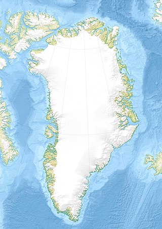
Qaneq Island is an island of Greenland. It is located in Tasiusaq Bay in the Upernavik Archipelago. The area is 11.2 square kilometers.
Nako Island is an island of Greenland. It is located in Baffin Bay in the Upernavik Archipelago.
Singarnaq-Annertussoq Island is an island of Greenland. It is located in Baffin Bay in the Upernavik Archipelago.
Swann Glacier is a broad glacier of undetermined length flowing east into Wright Inlet to the north of Mount Tricorn, on the east coast of Palmer Land. The glacier was discovered and photographed from the air in December 1940 by members of East Base of the United States Antarctic Service (USAS). During 1947 it was photographed from the air by members of the Ronne Antarctic Research Expedition (RARE), under Ronne, who in conjunction with the Falkland Islands Dependencies Survey (FIDS) charted it from the ground. Named by Ronne for Physicist W.F.G. Swann, Director of the Bartol Research Foundation of Franklin Institute at Swarthmore, PA, a contributor to the expedition.

The north magnetic pole, also known as the magnetic north pole, is a point on the surface of Earth's Northern Hemisphere at which the planet's magnetic field points vertically downward. There is only one location where this occurs, near the geographic north pole. The geomagnetic north pole is the northern antipodal pole of an ideal dipole model of the Earth's magnetic field, which is the most closely fitting model of Earth's actual magnetic field.
Rungsted, also known as Rungsted Kyst, is an affluent suburban neighborhood in Hørsholm Municipality on the Øresund coast north of Copenhagen, Denmark. The center of Hørsholm is located two kilometers west of Rungsted. At the Øresund coast is Rungsted Harbour, a marina.

Lundåkra Bay is a bight located at the eastern part of central Øresund, the sound between Danish Zealand and Swedish Scania. The bight is usually defined as the sea area between the Barsebäck peninsula in the South and Landskrona harbour and the artificial island known as Gråen in the North.
This page is based on this
Wikipedia article Text is available under the
CC BY-SA 4.0 license; additional terms may apply.
Images, videos and audio are available under their respective licenses.