Baptist, Louisiana | |
|---|---|
 | |
 Baptist, Louisiana  Baptist, Louisiana | |
| Coordinates: 30°30′18″N90°31′59″W / 30.50500°N 90.53306°W | |
| Country | United States |
| State | Louisiana |
| Parish | Tangipahoa |
| Elevation | 12 ft (3.7 m) |
| Time zone | UTC-6 (Central (CST)) |
| • Summer (DST) | UTC-5 (CDT) |
| Area code | 985 |
| GNIS feature ID | 532308 [1] |
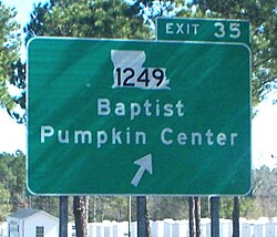
Baptist is an unincorporated community in Tangipahoa Parish, Louisiana, United States. Baptist is located on U.S. Route 190, west of Hammond.