Fluker, Louisiana | |
|---|---|
 Fluker, Louisiana  Fluker, Louisiana | |
| Coordinates: 30°49′18″N90°30′39″W / 30.82167°N 90.51083°W | |
| Country | United States |
| State | Louisiana |
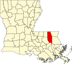
| Parish | Tangipahoa |
| Elevation | 151 ft (46 m) |
| Time zone | UTC-6 (Central (CST)) |
| • Summer (DST) | UTC-5 (CDT) |
| ZIP code | 70436 |
| Area code | 985 |
| GNIS feature ID | 554444 [1] |
Fluker (also Hyde) is an unincorporated community in Tangipahoa Parish, Louisiana, United States. [1] Its ZIP code is 70436. [2]